Walking in County Down
Discover walking trails across County Down — from the Mourne Mountains and Tollymore Forest to Strangford Lough, the Ards Peninsula and the North Down coast.
County Down has some of the best walking in Northern Ireland, from the granite peaks of the Mourne Mountains to the shores of Strangford Lough and the Ards Peninsula. The Ulster Way and the Mourne Way both cross the county, and it is easy to find routes from short woodland strolls to full days on the hills.
The Mournes. Slieve Donard, at 850 metres, is the highest peak in Northern Ireland and rises directly above Newcastle, while the Mourne Wall follows the high ridges for around 22 miles across a string of summits. Tollymore Forest Park and Castlewellan Forest Park, both close to Newcastle, offer gentler waymarked woodland and lakeside walks.
Rostrevor and the Carlingford shore. Rostrevor, Warrenpoint and Kilkeel sit on or close to the southern shore, with Kilbroney Park above Rostrevor and quiet roads and paths towards Carlingford Lough. The Mourne Way links Newcastle and Rostrevor.
Strangford Lough and the Ards. Strangford Lough is a marine nature reserve, with shoreline paths and National Trust estates at Castle Ward and Mount Stewart, and Portaferry and Strangford face each other across the narrows. Coastal paths continue north through Bangor and Holywood towards Belfast.
Mountain weather in the Mournes can turn quickly, and many routes are on exposed, rough ground, so carry a map and compass, waterproofs and warm layers.
All Starting Towns in County Down

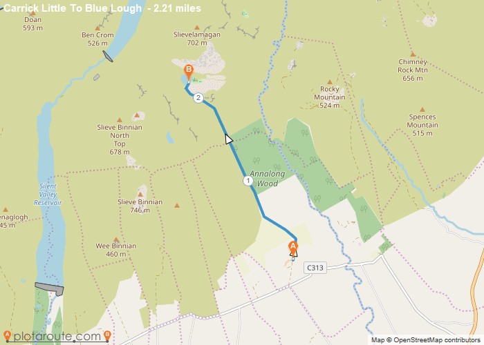
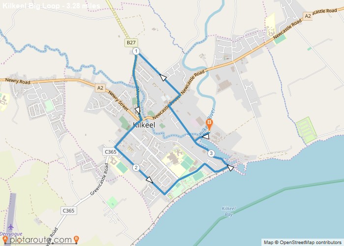
Highlighted Walks in County Down
No walks published in County Down yet -- check back soon.