Walking in Stirling
Discover walking trails across Stirling — from Ben Lomond and the Trossachs to Stirling Castle, the Wallace Monument and the West Highland Way.
Stirling lies on the boundary between the Lowlands and the Highlands, and its walking covers both, from riverside town walks to the lochs and hills of the Trossachs.
Loch Lomond and the Trossachs. Ben Lomond, at 974 metres, is the most southerly Munro and one of the most popular hills in Scotland, with a well-trodden path from Rowardennan. The West Highland Way runs along the eastern shore of Loch Lomond, and the Trossachs have shorter walks such as Ben A’an.
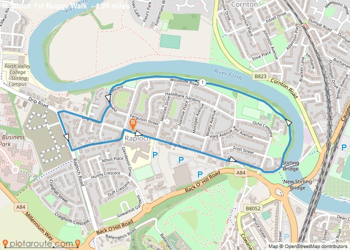
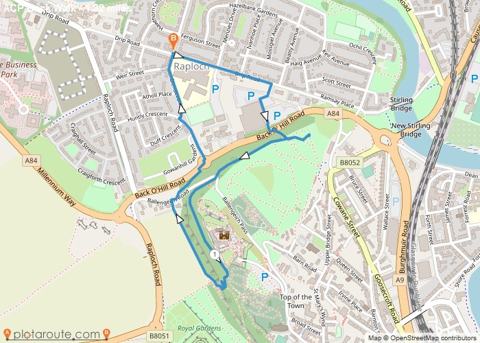
Stirling. Stirling Castle sits on a volcanic crag above the town, with walks round its base, through Kings Park and Gowan Hill, and along the Forth to Cambuskenneth Abbey and the Wallace Monument on Abbey Craig.
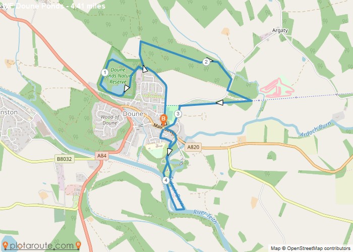
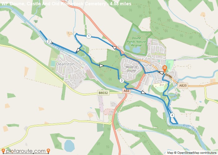
Callander, Doune and Fintry. Callander has the Callander Crags and Bracklinn Falls close to town, Doune has a medieval castle and riverside paths, and Fintry sits below the Campsie Fells.
Mountain routes such as Ben Lomond are exposed and conditions change quickly, so carry waterproofs and warm layers.
All Starting Towns in Stirling

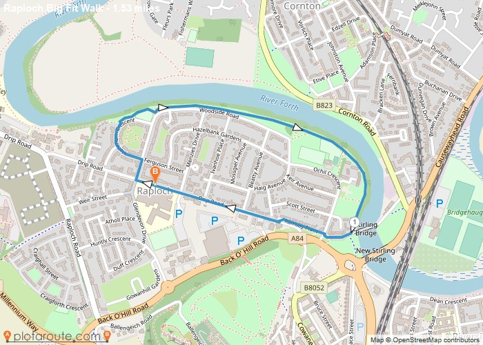

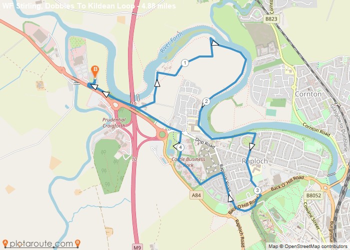
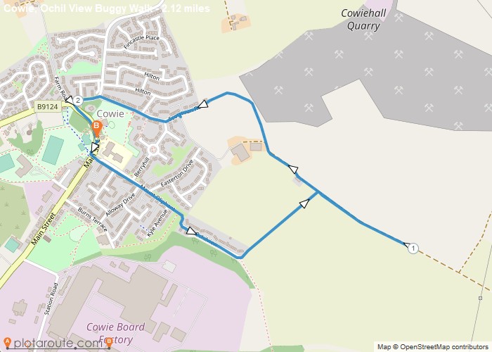
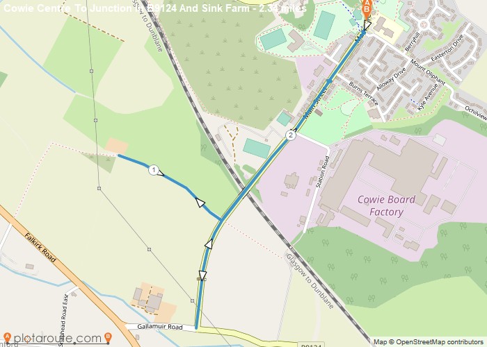
Highlighted Walks in Stirling
No walks published in Stirling yet -- check back soon.