Elterwater Walks & Walking Routes | WalkingRambler

England · Cumbria · Lake District & Cumbria

Walks from Elterwater, Cumbria

📍 Lake District & Cumbria
🌿 High mountain ridges, tarns, slate quarry landscape, woodland
0 routes available
⛰ Moderate to Very Challenging
Free to access

🥾0 RoutesAvailable
Moderate to Very ChallengingDifficulty
📅May–SeptemberBest Months
🚗ElterwaterStart Point

Elterwater is a small, characterful slate-quarrying village at the foot of Great Langdale, with the dramatic profile of the Langdale Pikes visible up the valley. It makes an excellent, quieter alternative to the busier head of the valley for those wanting to explore Langdale at a gentler pace.

A small, peaceful village with a National Trust campsite and a good pub, Elterwater is ideal for those wanting Langdale’s mountain access without staying at the busier head of the valley near the Old Dungeon Ghyll.

All Routes

0 Walks from Elterwater

Sorted by popularity

Author Image

Kingley Vale around the Nature Reserve, West Sussex

Author Image

Winchester via St Catherines Hill, Hampshire

Author Image

Winchester via Chilcomb and River Itchen

Author Image

Hindhead Devils Punch Bowl – 4.8 Mile Circular Walk

Author Image

Todenham Circular, Gloucestershire

Author Image

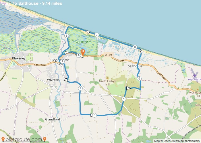
Cley next the Sea via Salthouse Norfolk – 9.1 Mile Circular Walk

Author Image

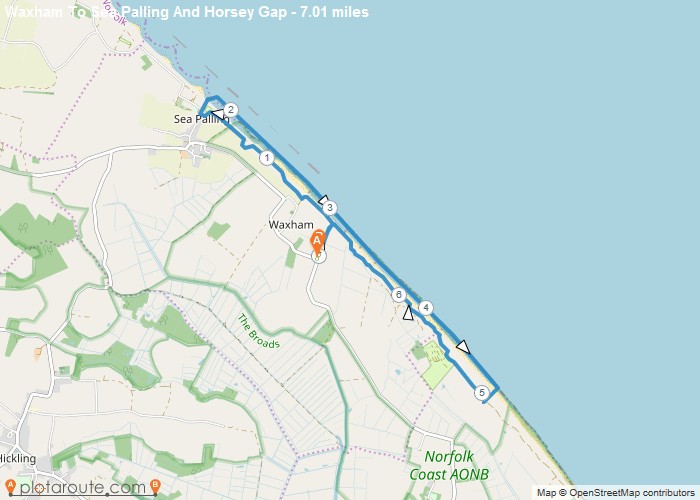
Waxham via Sea Palling & Horsey Gap Norfolk – 7 Mile Circular Walk

Author Image

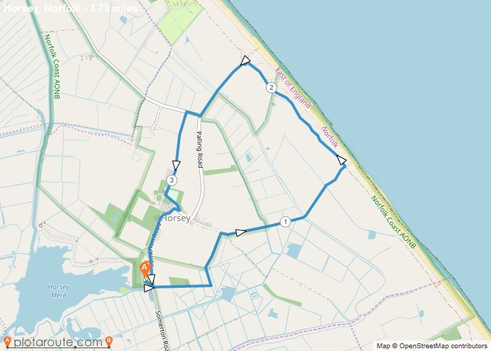
Horsey Mere Norfolk – 3.7 Mile Circular Walk

Colyton
Author Image

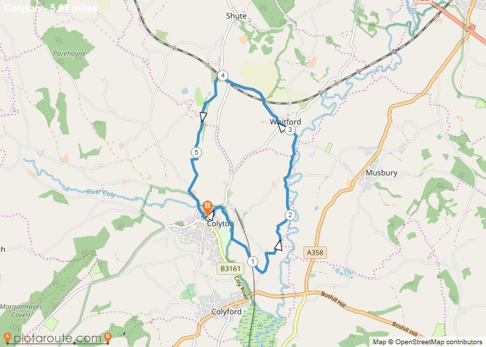
Colyton via Whitford – 5.9 Mile Circular Walk

England
Author Image

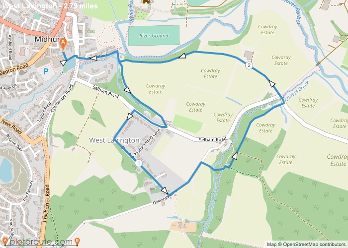
Midhust via Cowdray Estate West Sussex

Chichester
Author Image

Chichester Via Canal and Harbour

Author Image

Meltham ~ Netherthong Circular 7 Miles

Author Image

Walk With Niamh

Author Image

Walk With Niamh

Author Image

Lister Park And Heaton Woods Sponsored Walk

Author Image

Walk Up South Loftus

Author Image

Keighley To Gargrave

Author Image

Ogden Loop 6m

Author Image

Ilkley To Leeds via Dales Way

Author Image

Ilkley To Leeds

At a Glance

Walks available0 routes
DifficultyModerate to Very Challenging
Best monthsMay–September
TerrainHigh mountain ridges, tarns, slate quarry landscape, woodland
CountyCumbria
Dogs welcome✓ Yes

Getting There

📍
Elterwater, Cumbria
Open in Google Maps

Small National Trust car park (limited spaces). Bus from Ambleside (516, seasonal)

Food & Drink

The Britannia Inn, Chesters by the River, Elterwater Bridge House café

Notable Walks Nearby

  • Langdale Pikes from Elterwater
  • Loughrigg Tarn & Fell
  • Blea Tarn & Little Langdale
  • Elterwater lake circuit
  • Colwith Force
  • Cathedral Quarry
  • All Cumbria towns →

🗺 OS Map Reference

Walking around Elterwater is covered by OS OL6 / OL7. Recommended for all routes in this area.

View OS Map Guide

Long Distance Trails Nearby

  • Cumbria Way

Scroll to Top