Kendal

England · Cumbria · Lake District & Cumbria

Walks from Kendal, Cumbria

📍 Lake District & Cumbria
🌿 Limestone escarpment, fell valley, riverside, farmland
0 routes available
⛰ Easy to Challenging
Free to access

🥾0 RoutesAvailable
⛰Easy to ChallengingDifficulty
📅April–OctoberBest Months
🚗KendalStart Point

Kendal is the southern gateway to the Lake District — a busy market town of grey limestone buildings on the River Kent, where the Dales Way begins its 78-mile journey north to Ilkley. Scout Scar, just above the town, gives a dramatic limestone escarpment with panoramic views across Morecambe Bay and the Lakeland fells.

A well-served town with good independent shops and direct rail access to the Lake District, Kendal makes an excellent and affordable base. The Kentmere horseshoe — one of the classic Wainwright rounds — starts just ten miles north.

All Routes

0 Walks from Kendal

Sorted by popularity
Minions
Author Image

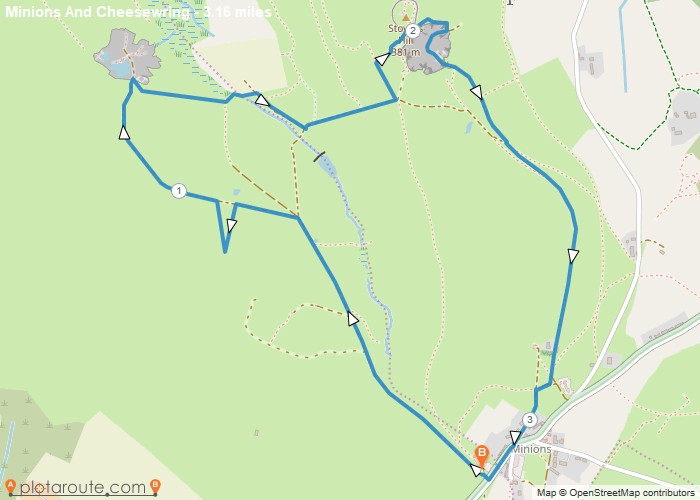
Minions via Cheesewring Quarry and Stowes Hill

Portwrinkle
Author Image

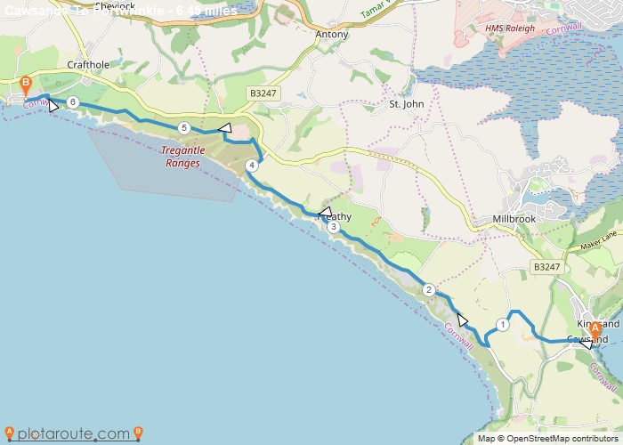
Cawsands To Portwrinkle via South West Coast Path Walk

England
Author Image

Kingley Vale around the Nature Reserve, West Sussex

Author Image

Winchester via St Catherines Hill, Hampshire

Author Image

Winchester via Chilcomb and River Itchen

Fishbourne
Author Image

Fishbourne via Bosham West Sussex – 9.4 Circular Mile Walk

Author Image

Hindhead Devils Punch Bowl – 4.8 Mile Circular Walk

Devon
Author Image

Seaton Devon to Seatown Dorset via South West Coast Path 15 Mile Walk

Devon
Author Image

Sidmouth to Seaton via South West Coast Path

Devon
Author Image

Exmouth to Sidmouth via South West Coast Path

Babbacombe
Author Image

Babbacombe to Exmouth via South West Coast Path

Babbacombe
Author Image

Brixham to Babbacombe via South West Coast Path

Cornwall
Author Image

Portwrinkle to Plymouth via South West Coast Path

Coastal Walks
Author Image

Polperro to Portwrinkle via South West Coast Path

Coastal Walks
Author Image

Par to Polperro via South West Coastal Path

Coastal Walks
Author Image

Marazion to Porthleven via South West Coastal Path

Coastal Walks
Author Image

St Ives to Pendeen via South West Coast Path

Coastal Walks
Author Image

Newquay to Perranporth via South West Coast Path

Coastal Walks
Author Image

Porthcothan to Newquay – South West Coastal Path

Coastal Walks
Author Image

Padstow to Porthcothan via South West Coast Path

At a Glance

Walks available0 routes
DifficultyEasy to Challenging
Best monthsApril–October
TerrainLimestone escarpment, fell valley, riverside, farmland
CountyCumbria
Dogs welcome✓ Yes

Getting There

📍
Kendal, Cumbria
Open in Google Maps

Town centre car parks. Oxenholme station (West Coast Main Line) — 1.5 miles from centre

Food & Drink

The Brewery Arts Centre café, The Ring O’Bells, 1657 Chocolate House

Notable Walks Nearby

  • Scout Scar
  • Kentmere Valley & Reservoir
  • Longsleddale
  • Potter Fell & Gurnal Dubs
  • Dales Way south
  • Sizergh Castle circular
  • All Cumbria towns →

🗺 OS Map Reference

Walking around Kendal is covered by OS OL7 / Explorer 19. Recommended for all routes in this area.

View OS Map Guide

Long Distance Trails Nearby

  • Dales Way
  • Cumbria Way (nearby)

Scroll to Top