Walking in Cheshire
Discover walking trails across Cheshire — from the Sandstone Ridge and the Peak District fringe to canal towpaths, the Cheshire Plain and the walled city of Chester.
Cheshire blends the flat, dairy-farming Cheshire Plain with the sandstone ridge that rises through its heart and the western fringe of the Peak District in the east. Expect canal towpaths, historic market towns and gentle, well-signposted routes for most of the year.
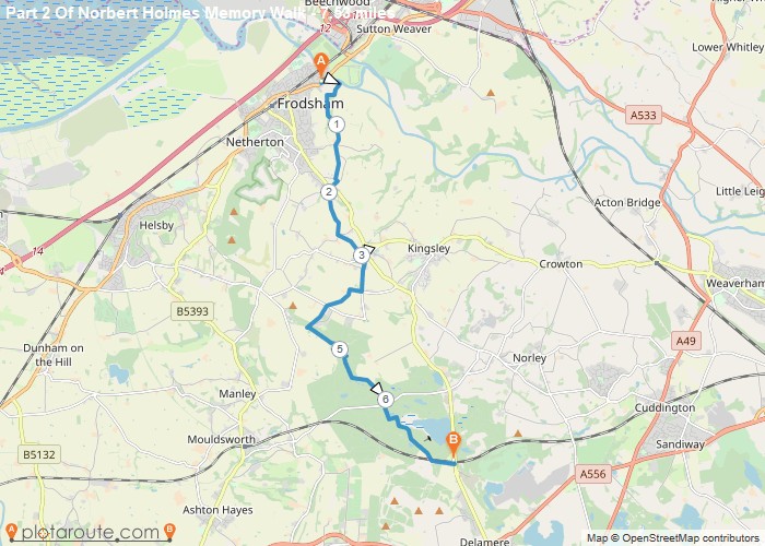
Sandstone Trail. About 34 miles along the Mid Cheshire ridge from Frodsham to Whitchurch, passing Delamere Forest, Beeston Castle and the Peckforton Hills. It is easily broken into shorter sections with good views across the plain.
Gritstone Trail. About 18 miles from Disley to Kidsgrove along the Pennine foothills in the east of the county, through Lyme Park, Teggs Nose and Bosley Cloud, with the highest and most rugged walking in Cheshire.
Canals and rivers. The Trent and Mersey, Macclesfield, Shropshire Union and Bridgewater canals and the Weaver Navigation give level, easy towpath walking from places such as Lymm, Northwich, Nantwich and Wrenbury.
Chester and the Dee. The Roman city walls make a circuit of about two miles around the centre of Chester, and riverside paths lead out along the Dee, with the Wirral shore around Parkgate and Neston a short way north.
Paths on the Cheshire Plain can be muddy after rain, so wear waterproof footwear, and carry a map or GPS app for the longer, less-waymarked routes.