Midhurst

England · West Sussex · South East England

Walks from Midhurst, West Sussex

📍 South East England
Heathland, ancient woodland, parkland, chalk downland edge
6 routes available
Easy to Moderate
Free to access

🥾6 RoutesAvailable
⛰Easy to ModerateDifficulty
📅Year-roundBest Months
🚗MidhurstStart Point

Midhurst is a small, handsome market town at the foot of the South Downs. Blackdown — the highest point in Sussex — rises to the west, Petworth Park is six miles east, and the Serpent Trail threads through the heathland and woodland to the north.

A quiet, elegant West Sussex town with good pubs and a Thursday market, Midhurst offers excellent access to the western South Downs, the Weald heathlands and the Sussex border country.

All Routes

6 Walks from Midhurst

Sorted by popularity

Author Image

Midhurst To Liphook

Author Image

Midhurst To Liphook – Lipchis Way

Author Image

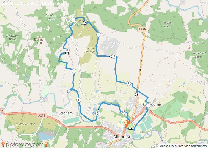
Midhurst via Wool Beding Common West Sussex – 10.5 Mile Circular Walk

New
Author Image

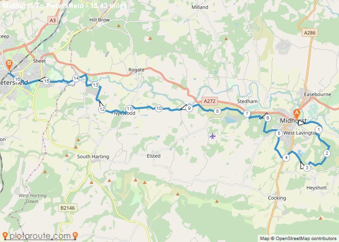
Midhurst To Petersfield via Serpent Trail

New
Author Image

Midhurst to Petersfield via Nyewood and Serpent Trail

New
Author Image

Midhurst via West Lavington West Sussex – 3.4 Mile Circular Walk

At a Glance

Walks available6 routes
DifficultyEasy to Moderate
Best monthsYear-round
TerrainHeathland, ancient woodland, parkland, chalk downland edge
CountyWest Sussex
Dogs welcome✓ Yes

Getting There

📍
Midhurst, West Sussex
Open in Google Maps

Town car parks. Bus from Haslemere or Chichester (limited)

Food & Drink

The Spread Eagle Hotel, The Angel Hotel, Cowdray Farm Shop & Café

Notable Walks Nearby

  • Blackdown Hill
  • Petworth Park & Upperton
  • Serpent Trail
  • The Mens woodland
  • Midhurst to Easebourne
  • Woolbeding Common

🗺 OS Map Reference

Walking around Midhurst is covered by OS OL8 / Explorer 121. Recommended for all routes in this area.

View OS Map Guide

Long Distance Trails Nearby

  • South Downs Way (6 miles south)
  • Serpent Trail

Scroll to Top