Map - Icknield Way

Icknield Way Path

Long Distance Trail · Buckinghamshire to Suffolk

Icknield Way Path

An ancient chalk-spine route of green lanes and prehistoric trackways, from Ivinghoe Beacon at the end of the Ridgeway to Knettishall Heath, where the Peddars Way begins.

112Miles
180Km
1,995 mAscent

The Icknield Way is unique among long-distance tracks because it can claim to be “the oldest road in Britain”. It is one of the links in a prehistoric route, often called the Greater Ridgeway, from The Wash to the South Devon coast. Dotted with archaeological remains, it survives as splendid tracks and green lanes along England’s chalk “spine”.

The Icknield Way Path runs from the end of the Ridgeway National Trail at Ivinghoe Beacon, near Tring, to the start of the Peddars Way National Trail at Knettishall Heath, near Thetford, for 112 miles (180 km). Using green lanes and farm and forestry tracks, it follows the group of prehistoric trackways that form the Icknield Way along the chalk spine from the Chilterns to Norfolk, passing many sights of archaeological interest through Dunstable, Baldock, Royston, Great Chesterford and Icklingham.

The Icknield Way Association’s walkers’ guide includes details of a link to Thetford from West Stow and an alternative route through Toddington, so walkers should also carry the relevant maps. The waymarked Icknield Way – Ridgeway Link (7.5 miles, coincident with the Icknield Way Path on OS mapping) runs from the Chilterns Gateway Centre on Dunstable Downs to the finish of the Ridgeway at Ivinghoe Beacon; it has been upgraded to be stile-free, with steps added on a steep section.

Icknield Way Path at a Glance

  • StartIvinghoe Beacon, Buckinghamshire (SP959168)
  • FinishKnettishall Heath, Suffolk (TL943807)
  • Length180 km / 112 miles
  • Typical durationtbc
  • Total ascent1,995 m (LDWA profile, covering 180.8 km)
  • Highest point236 m
  • Openedtbc
  • WaymarkNamed disc with neolithic flint axe emblem
  • LDWA attributesEasy, Downland/Wolds, Forest/Woodland, Heritage
  • CountiesBedfordshire, Buckinghamshire, Cambridgeshire, Essex, Hertfordshire, Luton, Suffolk
  • OS Landranger144, 153, 154, 155, 165, 166
  • OS Explorer181, 192, 193, 194, 195, 209, 210, 226, 229, 230
  • GuidebookIcknield Way Path: a walker’s guide (Icknield Way Association, 2012)
  • User groupIcknield Way Association
  • Connects withRidgeway National Trail, E2 (Middleton-in-Teesdale to Harwich), Great Chalk Way, Chiltern Way, Greensand Ridge Walk, John Bunyan Trail, Hertfordshire Way, Angles Way, Peddars Way

Walks

Walks on the Icknield Way

Map of the Icknield Way
Places

Places on the Icknield Way

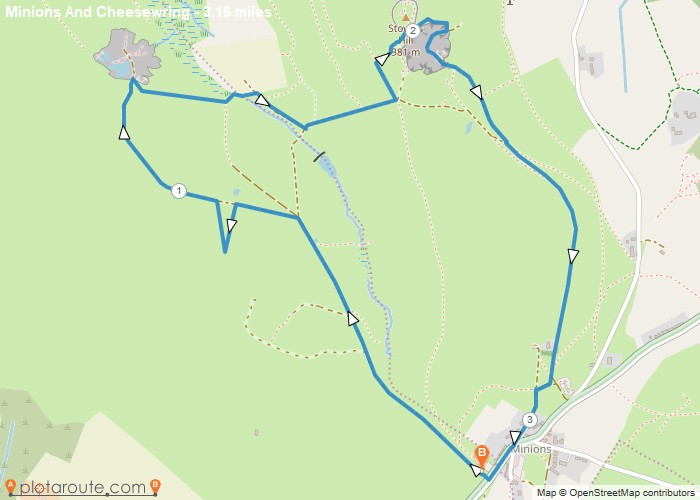
Minions
Author Image

Minions via Cheesewring Quarry and Stowes Hill

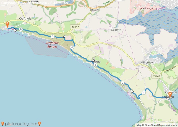
Portwrinkle
Author Image

Cawsands To Portwrinkle via South West Coast Path Walk

England
Author Image

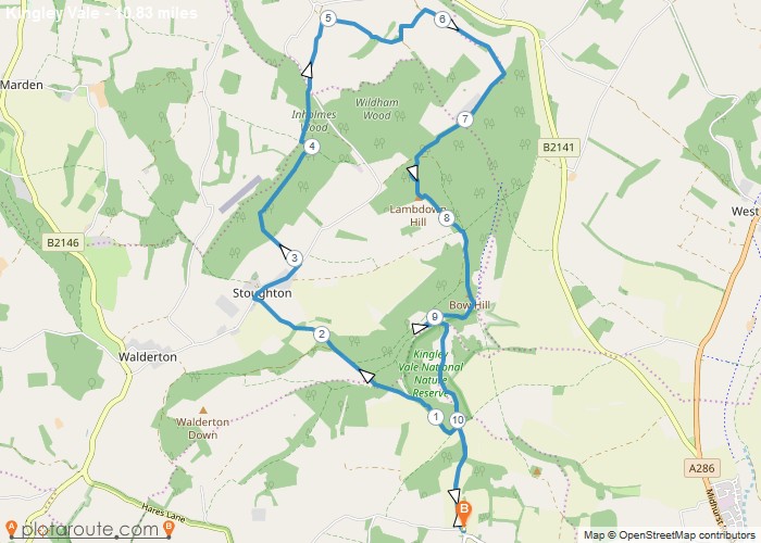
Kingley Vale around the Nature Reserve, West Sussex

Author Image

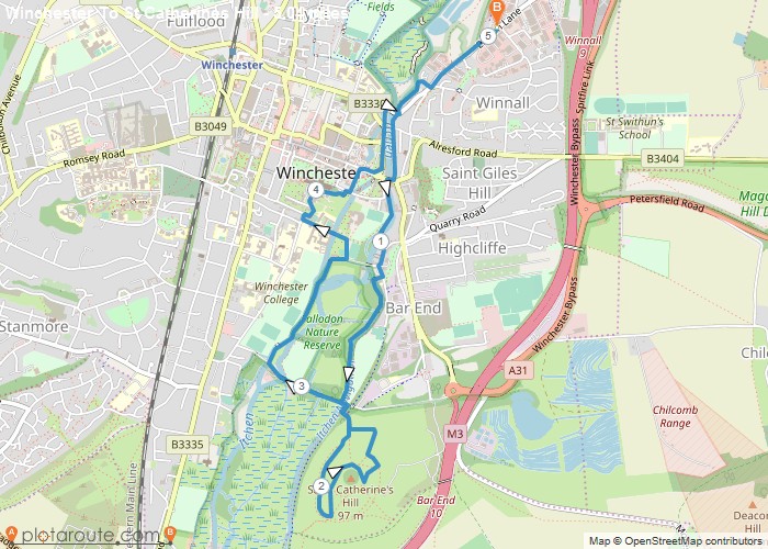
Winchester via St Catherines Hill, Hampshire

Author Image

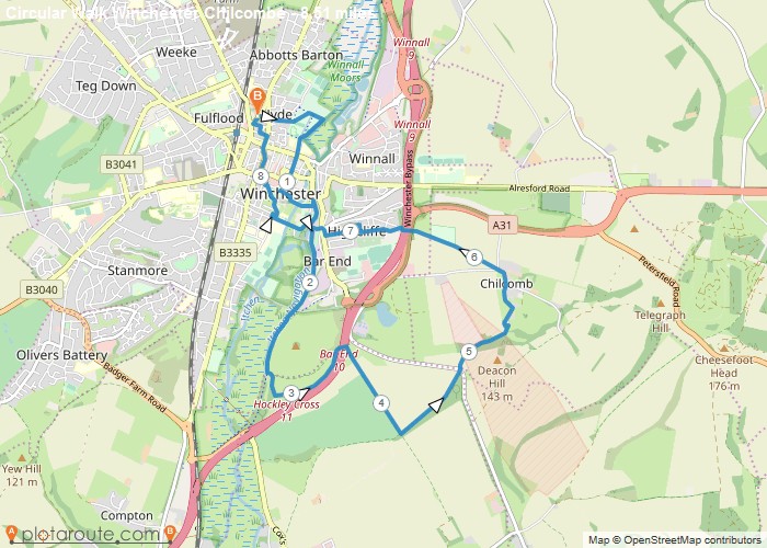
Winchester via Chilcomb and River Itchen

More trails

Other Long Distance Walks

Looking for More Long Distance Trails?

Browse our guides to long distance walks across England, Wales and Scotland, with route maps and stage information.

All Long Distance Trails

Scroll to Top