England · Derbyshire · Peak District & Derbyshire
Walks from Eyam, Derbyshire
📍 Peak District & Derbyshire
Limestone edge, wooded gorge, moorland fringe, ancient field systems
7 routes available
Easy to Moderate
Free to access
Limestone edge, wooded gorge, moorland fringe, ancient field systems
7 routes available
Easy to Moderate
Free to access
7 RoutesAvailable
Easy to ModerateDifficulty
Year-roundBest Months
EyamStart Point
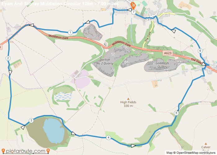
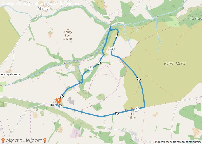
Eyam is the famous plague village of Derbyshire — a small, atmospheric settlement that voluntarily quarantined itself during the 1665-66 outbreak — set on the edge of the White Peak with excellent walking in every direction. Eyam Edge gives sweeping views, and the dramatic limestone gorge of Stoney Middleton Dale is just below the village.
A small, deeply atmospheric village with an exceptional history and good walking access in every direction, Eyam makes an excellent and characterful base for the central White Peak.
All Routes
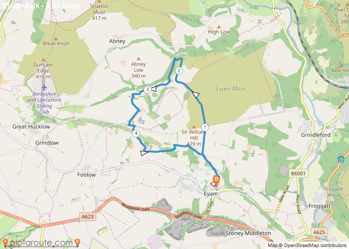
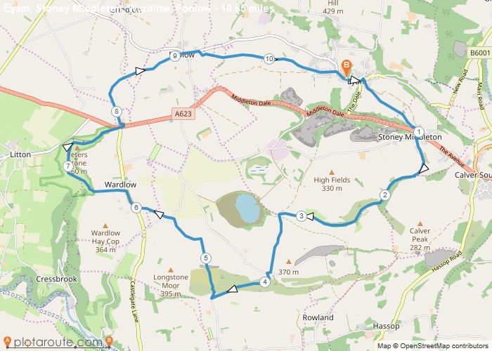
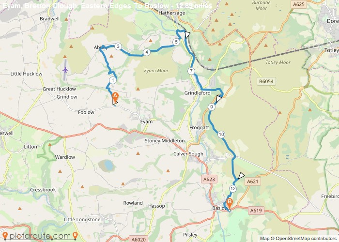
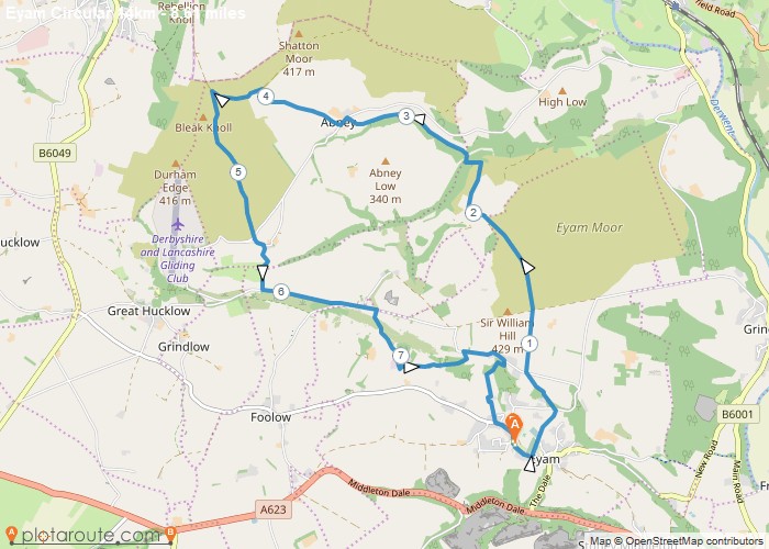
7 Walks from Eyam
Sorted by popularity