Walking in County Antrim
Discover walking trails across County Antrim — from the Giant’s Causeway and the Glens of Antrim to Cave Hill, the Lagan Towpath and the Antrim coast.
County Antrim fills the north-east corner of Northern Ireland, from the edge of Belfast to the Causeway Coast and the nine Glens of Antrim. It is a county of basalt cliffs, wooded glens and long sea views, with the Ulster Way and the Causeway Coast Way both passing through.
Giant’s Causeway and Bushmills. The Giant’s Causeway, a World Heritage Site, is the county’s best-known walk, and the clifftop path along the coast from Bushmills and Portballintrae gives circular routes of around 8 miles with views of the basalt columns and the coast beyond. The Causeway Coast Way continues for roughly 33 miles between Ballycastle and Portstewart.
The Glens of Antrim. Nine glens run down to the sea between Ballycastle and Larne, with villages such as Cushendun, Cushendall and Carnlough as bases. Glenariff Forest Park, often called the Queen of the Glens, has woodland paths beside a series of waterfalls.
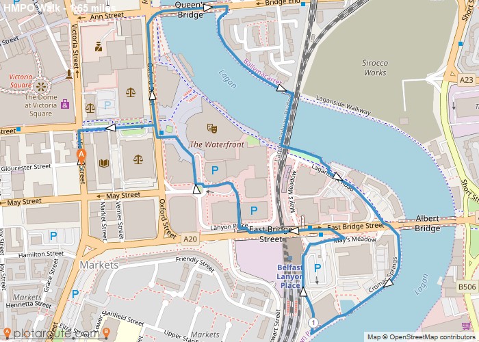
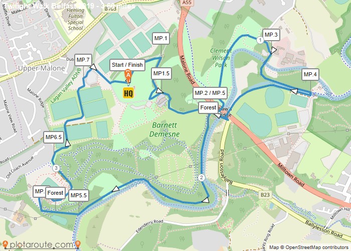
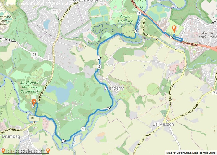
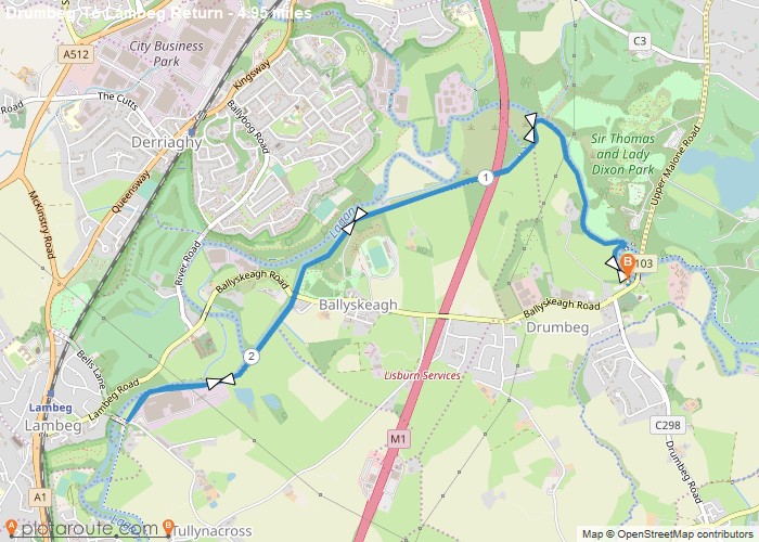
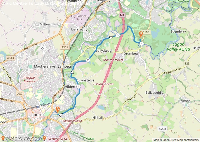
Belfast, Lisburn and the Lagan. Cave Hill, with its basalt cliffs and views over Belfast Lough, is the best-known hill walk in the city, while the Lagan Towpath follows the river from Belfast to Lisburn for about 10 miles of level, easy walking, passing Lady Dixon Park along the way.
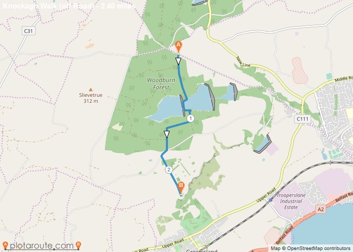
The Antrim coast road. Larne, Carnlough and Whitehead sit on or near the coast road and the Islandmagee peninsula, with clifftop paths and the Knockagh viewpoint above Carrickfergus.
Weather on the north coast changes quickly, and cliff paths can be exposed and slippery, so wear sturdy footwear, carry waterproofs and keep well back from cliff edges.