Walking in County Durham
Discover walking trails across County Durham — from the cathedral city and Heritage Coast to Teesdale, Weardale and the North Pennines.
County Durham stretches from the Durham Heritage Coast in the east, through the old coalfield valleys and railway paths around Consett, to the high moorland of the North Pennines in the west, where Teesdale and Weardale are protected as part of an Area of Outstanding Natural Beauty.
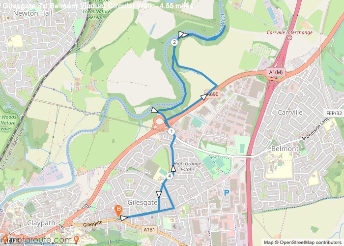
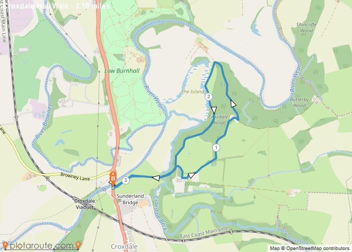
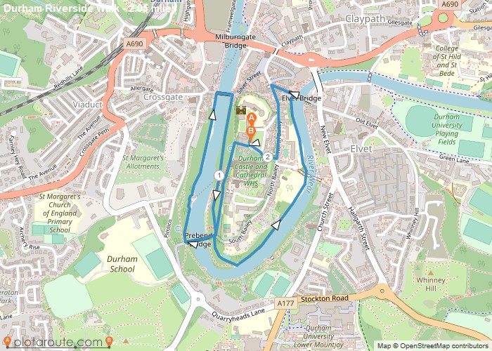
Durham City. The cathedral and castle stand on a wooded peninsula in a loop of the River Wear, and riverside paths below them make easy, atmospheric walks of a couple of miles, with longer routes leading out to Belmont Viaduct and Croxdale.
Teesdale. Barnard Castle is the gateway to upper Teesdale, where the Pennine Way follows the River Tees past the waterfalls at Low Force and High Force to Cauldron Snout.
The coast. The Durham Heritage Coast, around Seaham and Easington, has clifftop paths, restored dene woodland and a long, open shoreline.
Weather on the high ground of the North Pennines can change quickly, so take warm and waterproof layers and a map and compass or GPS app for upland walks.
All Starting Towns in County Durham

Highlighted Walks in County Durham
No walks published in County Durham yet -- check back soon.