Arundel Walks & Walking Routes | WalkingRambler

England · West Sussex · South East England

Walks from Arundel, West Sussex

📍 South East England
🌿 Chalk downland, river flood meadows, parkland
0 routes available
⛰ Easy to Moderate
Free to access

🥾0 RoutesAvailable
Easy to ModerateDifficulty
📅Year-roundBest Months
🚗ArundelStart Point

Arundel is one of the most picturesque towns in the South Downs National Park, dominated by its medieval castle and cathedral and set in the wide Arun Valley where the river cuts through the chalk. The surrounding walking is excellent — big skies over the downs, quiet water meadows along the Arun and easy access to the South Downs ridge.

A popular destination for non-walkers too, Arundel has very good accommodation and restaurants. The Arun Valley line makes it car-free accessible from Worthing and Gatwick.

All Routes

0 Walks from Arundel

Sorted by popularity

Author Image

Kingley Vale around the Nature Reserve, West Sussex

Author Image

Winchester via St Catherines Hill, Hampshire

Author Image

Winchester via Chilcomb and River Itchen

Author Image

Hindhead Devils Punch Bowl – 4.8 Mile Circular Walk

Author Image

Todenham Circular, Gloucestershire

Author Image

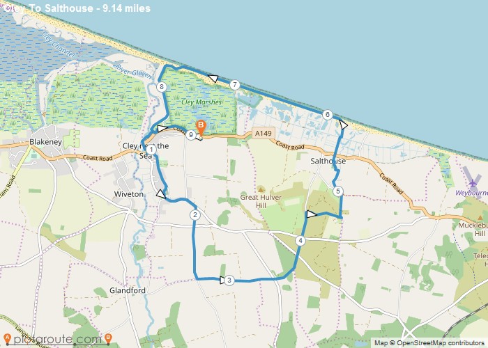
Cley next the Sea via Salthouse Norfolk – 9.1 Mile Circular Walk

Author Image

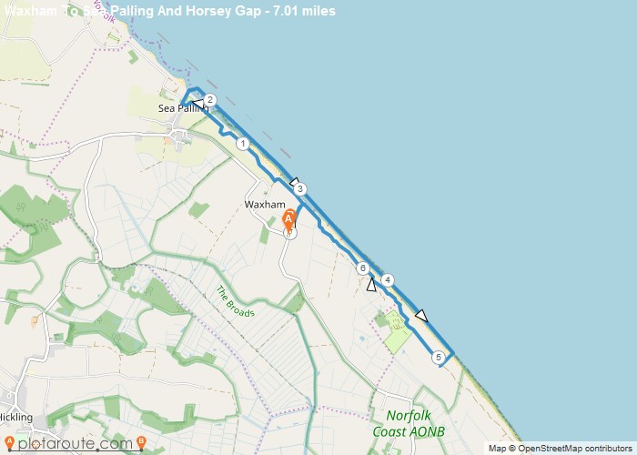
Waxham via Sea Palling & Horsey Gap Norfolk – 7 Mile Circular Walk

Author Image

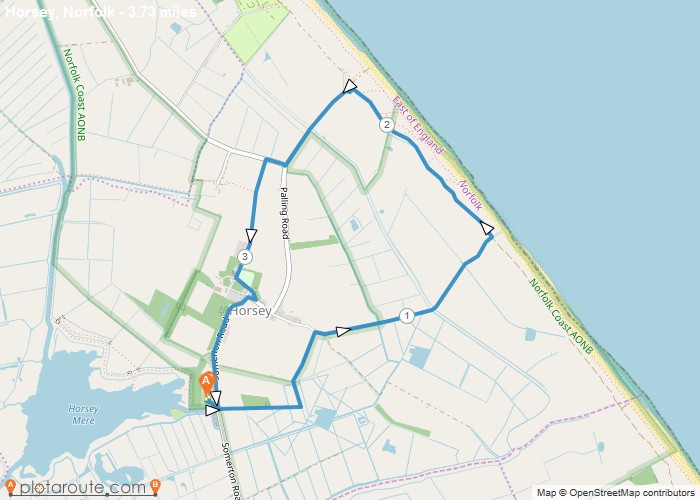
Horsey Mere Norfolk – 3.7 Mile Circular Walk

Colyton
Author Image

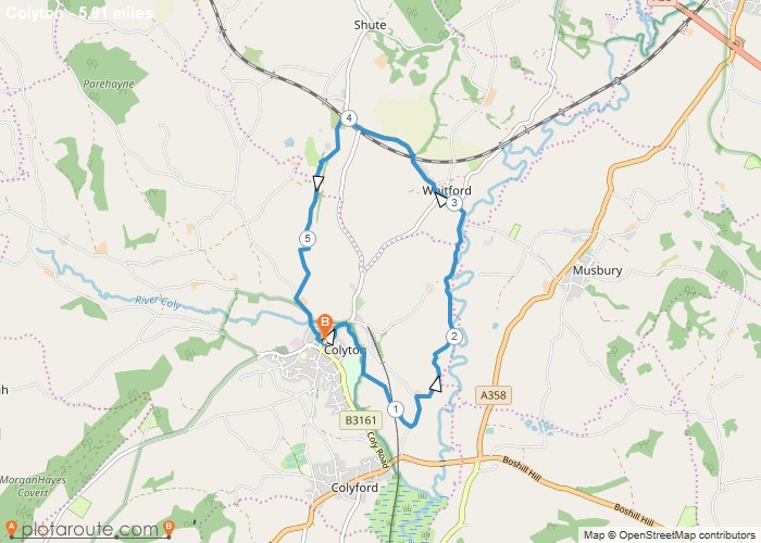
Colyton via Whitford – 5.9 Mile Circular Walk

England
Author Image

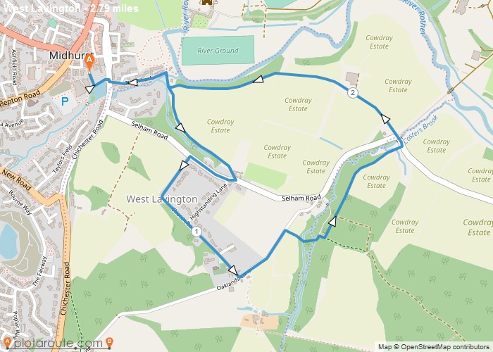
Midhust via Cowdray Estate West Sussex

Chichester
Author Image

Chichester Via Canal and Harbour

Author Image

Meltham ~ Netherthong Circular 7 Miles

Author Image

Walk With Niamh

Author Image

Walk With Niamh

Author Image

Lister Park And Heaton Woods Sponsored Walk

Author Image

Walk Up South Loftus

Author Image

Keighley To Gargrave

Author Image

Ogden Loop 6m

Author Image

Ilkley To Leeds via Dales Way

Author Image

Ilkley To Leeds

At a Glance

Walks available0 routes
DifficultyEasy to Moderate
Best monthsYear-round
TerrainChalk downland, river flood meadows, parkland
CountyWest Sussex
Dogs welcome✓ Yes

Getting There

📍
Arundel, West Sussex
Open in Google Maps

Mill Road car park and others. Train is easy. Arundel station (Arun Valley line)

Food & Drink

The Town House, Parsons Table, Kings Arms pub

Notable Walks Nearby

  • South Downs Way to Bignor Hill
  • Amberley Wild Brooks
  • Bury Hill & River Arun
  • Arundel Park
  • Burpham circular
  • Houghton Bridge
  • All West Sussex towns →

🗺 OS Map Reference

Walking around Arundel is covered by OS OL10 / Explorer 121. Recommended for all routes in this area.

View OS Map Guide

Long Distance Trails Nearby

  • South Downs Way
  • Arun Valley Way

Scroll to Top