Walking in Scottish Borders
Discover walking trails across the Scottish Borders — from the Eildon Hills and the Tweed Valley to the abbeys, St Cuthbert’s Way and the Southern Upland Way.
The Scottish Borders is a region of rolling hills, river valleys and market towns on the English border, with some of the longest-established walking routes in southern Scotland.
Long-distance routes. St Cuthbert’s Way runs for around 62 miles from Melrose to Lindisfarne, the Borders Abbeys Way links the four ruined abbeys in a circuit of about 68 miles, and the Southern Upland Way crosses the region on its way to Cockburnspath on the coast. The Pennine Way ends at Kirk Yetholm.
Melrose and the Eildons. The three summits of the Eildon Hills rise above Melrose, with paths up from the town and views across the Tweed Valley. Jedburgh, Selkirk and Peebles are the other main bases.
The hills and the coast. The Cheviot Hills and the Moorfoot Hills give open hill walking, and the Berwickshire coast, including St Abbs Head, has sea cliffs and bird colonies.
Hill and moorland routes are often remote, with few waymarks, so carry a map and compass.
All Starting Towns in Scottish Borders
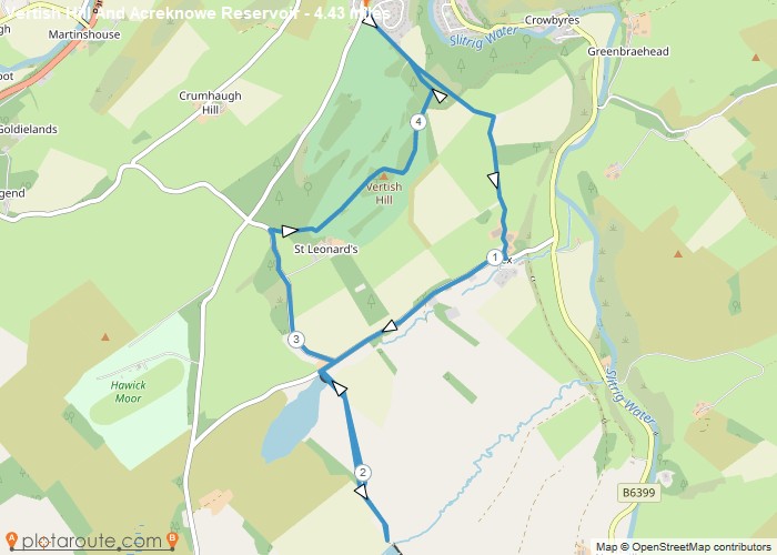

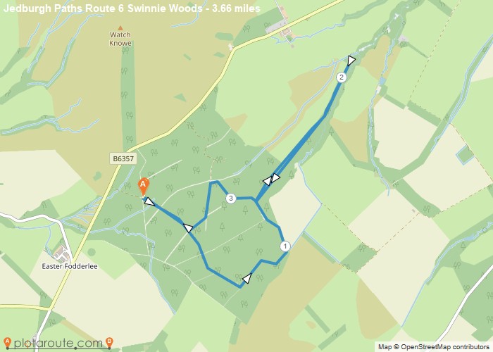
Highlighted Walks in Scottish Borders
No walks published in Scottish Borders yet -- check back soon.