Glossop Walks & Walking Routes | WalkingRambler

England · Derbyshire · Peak District & Derbyshire

Walks from Glossop, Derbyshire

📍 Peak District & Derbyshire
🌿 Peat moorland plateau, Roman road, reservoir valley, gritstone edges
0 routes available
⛰ Moderate to Challenging
Free to access

🥾0 RoutesAvailable
Moderate to ChallengingDifficulty
📅April–OctoberBest Months
🚗GlossopStart Point

Glossop is a former cotton town on the western edge of the Dark Peak, with Bleaklow — one of the wildest and most remote moorland plateaus in the Peak District — rising directly to the east. The Roman road of Doctor’s Gate crosses the moor, and the Longdendale Trail follows a disused railway through the reservoir valley.

A practical northern Peak District town with good transport links from Manchester, Glossop makes a useful base for the wilder Bleaklow plateau and the Longdendale reservoir chain — quieter and less crowded than Edale.

All Routes

0 Walks from Glossop

Sorted by popularity

Author Image

Kingley Vale around the Nature Reserve, West Sussex

Author Image

Winchester via St Catherines Hill, Hampshire

Author Image

Winchester via Chilcomb and River Itchen

Author Image

Hindhead Devils Punch Bowl – 4.8 Mile Circular Walk

Author Image

Todenham Circular, Gloucestershire

Author Image

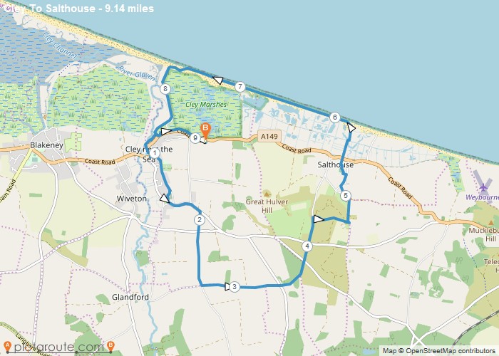
Cley next the Sea via Salthouse Norfolk – 9.1 Mile Circular Walk

Author Image

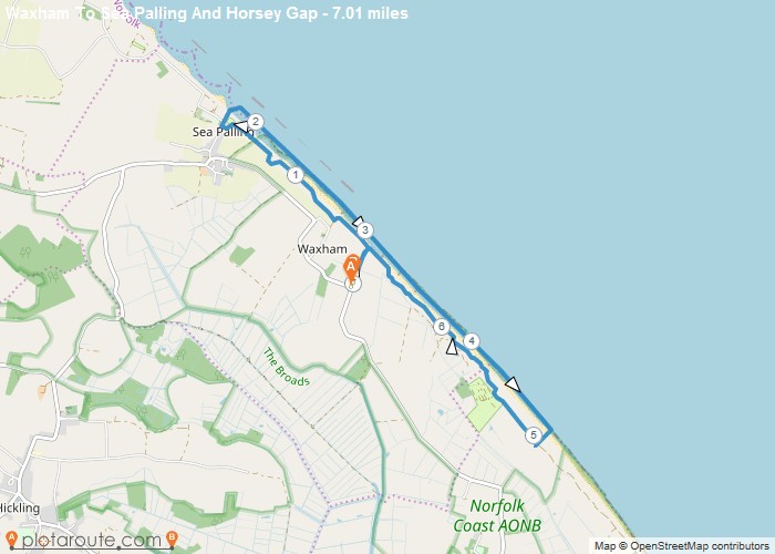
Waxham via Sea Palling & Horsey Gap Norfolk – 7 Mile Circular Walk

Author Image

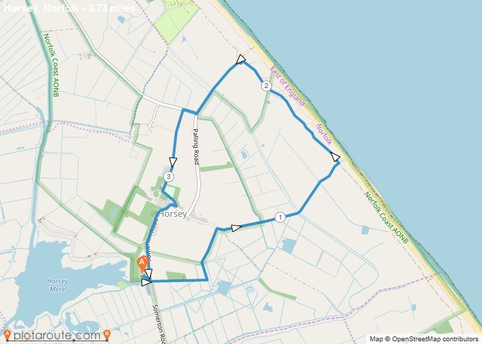
Horsey Mere Norfolk – 3.7 Mile Circular Walk

Colyton
Author Image

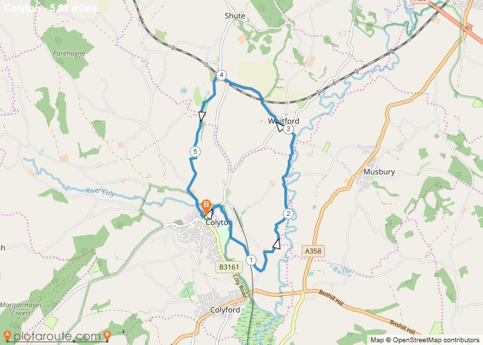
Colyton via Whitford – 5.9 Mile Circular Walk

England
Author Image

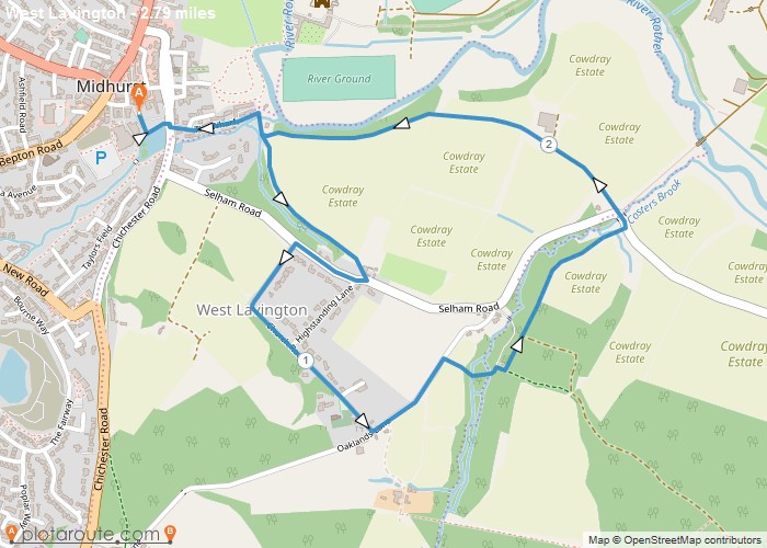
Midhust via Cowdray Estate West Sussex

Chichester
Author Image

Chichester Via Canal and Harbour

Author Image

Meltham ~ Netherthong Circular 7 Miles

Author Image

Walk With Niamh

Author Image

Walk With Niamh

Author Image

Lister Park And Heaton Woods Sponsored Walk

Author Image

Walk Up South Loftus

Author Image

Keighley To Gargrave

Author Image

Ogden Loop 6m

Author Image

Ilkley To Leeds via Dales Way

Author Image

Ilkley To Leeds

At a Glance

Walks available0 routes
DifficultyModerate to Challenging
Best monthsApril–October
TerrainPeat moorland plateau, Roman road, reservoir valley, gritstone edges
CountyDerbyshire
Dogs welcome✓ Yes

Getting There

📍
Glossop, Derbyshire
Open in Google Maps

Town centre car parks. Glossop station (Manchester Piccadilly line)

Food & Drink

The Globe, Bakery 47, Whitfield Tap

Notable Walks Nearby

  • Bleaklow plateau from Old Glossop
  • Doctor’s Gate Roman road
  • Snake Pass & Snake Summit
  • Longdendale Trail
  • Lantern Pike & Cown Edge
  • Torside & Bleaklow Head
  • All Derbyshire towns →

🗺 OS Map Reference

Walking around Glossop is covered by OS OL1. Recommended for all routes in this area.

View OS Map Guide

Long Distance Trails Nearby

  • Pennine Way (nearby)
  • Longdendale Trail

Scroll to Top