England · Cornwall · South West England
Walks from Wadebridge, Cornwall
📍 South West England
Tidal estuary, former railway trail, moorland fringe, downland
3 routes available
Easy
Free to access
Tidal estuary, former railway trail, moorland fringe, downland
3 routes available
Easy
Free to access
3 RoutesAvailable
EasyDifficulty
Year-roundBest Months
WadebridgeStart Point
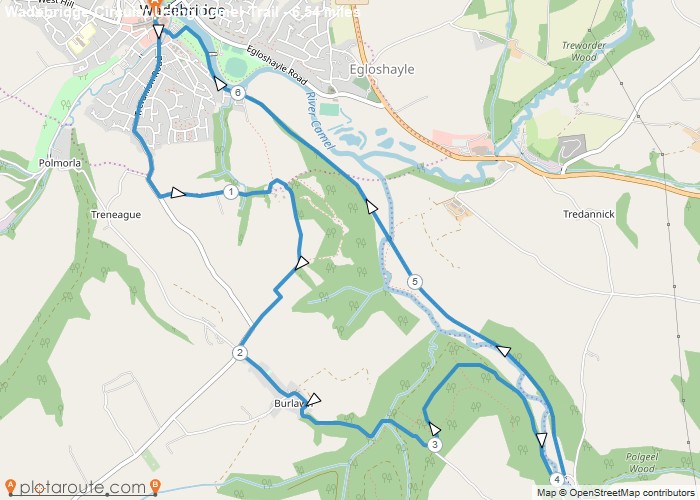
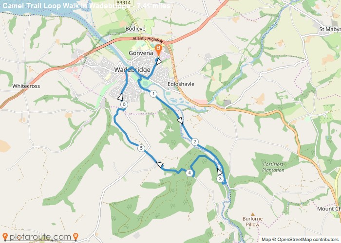
Wadebridge sits at the lowest crossing point of the River Camel, with the Camel Trail — a seventeen-mile traffic-free cycling and walking route — passing directly through the town, linking Padstow on the estuary to Bodmin and the edge of Bodmin Moor. St Breock Downs, with its prehistoric standing stones, rise to the west.
A practical north Cornwall town with the Camel Trail as its great asset, Wadebridge makes the most convenient base for exploring the entire Camel Trail corridor — flat, traffic-free and connecting the wild Bodmin Moor edge to the beautiful Camel Estuary.
All Routes
3 Walks from Wadebridge
Sorted by popularity