Hundreds of free walks in England with 39 countrie to explore who wouldn’t want to get out walking. Find the county you want to in below.
- Berkshire
- Buckinghamshire
- Cambridgeshire
- Cheshire
- Cornwall
- Cumbria
- Derbyshire
- Devon
- Dorset
- East Sussex
- Gloucestershire
- Hampshire
- Herefordshire
- Hertfordshire
- Isle of Wight
- Kent
- Lancashire
- Norfolk
- Northumberland
- Somerset
- Surrey
- Walks in East Riding of Yorkshire
- Walks in Essex
- Walks in Leicestershire
- Walks in Lincolnshire
- Walks in Middlesex
- Walks in Northamptonshire
- Walks in Nottinghamshire
- Walks in Oxfordshire
- Walks in Rutland
- Walks in Shropshire
- Walks in South Yorkshire
- Walks in Staffordshire
- Walks in Warwickshire
- Walks in West Yorkshire
- Walks in Worcestershire
- West Sussex
- Wiltshire
Best England Walks
Best of England
Distance: 9.3 Miles Time: 4 hours 35 minutes Elevation: 1509 Feet Terrain: Mixed Start Point: Brighton End Point: Brighton null
Distance: 9.3 Miles
Starting Point: Brighton
Ending Point: Brighton
Terrain: Mixed
Elevation: 1509 Feet
OS Map: OS Explorer
Walking Time: 4 hours 35 minutes
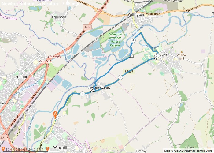
Distance: 7.1 Miles Time: 3 hours 06 minutes Elevation: 906 Feet Terrain: Mixed Start Point: Newton Solney End Point: Newton
Distance: 7.1 Miles
Starting Point: Newton Solney
Terrain: Mixed
Elevation: 906 Feet
OS Map: OS Explorer
Walking Time: 3 hours 06 minutes
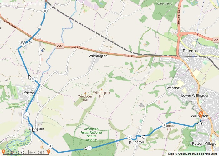
Distance: 8.2 Miles Time: 4 hours 03 minutes Elevation: 3169 Feet Terrain: Off-Road Start Point: Eastbourne Train StationEnd Point: Berwick
Distance: 8.2 Miles
Starting Point: Eastbourne Train Station
Ending Point: Berwick Train Station
Terrain: Off-Road
Elevation: 3169 Feet
OS Map: OS Explorer
Walking Time: 4 hours 03 minutes
Favourite
3.6 mile circular walk from Meldon reservoir on Dartmoor in Devon via South Down and around Meldon reservoir. Distance: 3.6 miles Time: 1.5 hours Elevation:
Ending Point: Meldon Reservoir Car Park
OS Map: OS Explorer
Favourite
Distance: 8.3 Miles Time: 3 hours 35 minutes Elevation: 1824 Feet Terrain: Mixed Start Point: Duffield End Point: Duffield A moderately
Distance: 8.3 Miles
Starting Point: Duffield
Terrain: Mixed
Elevation: 1824 Feet
OS Map: OS Explorer
Walking Time: 3 hours 35 minutes
Favourite
Distance: 8.9 Miles Time: 4 hours 45 minutes Elevation: 1083 Feet Terrain: Mixed Start Point: Glossop End Point: Glossop Moorland
Distance: 8.9 Miles
Starting Point: Glossop
Terrain: Mixed
Elevation: 1083 Feet
OS Map: OS Explorer
Walking Time: 4 hours 45 minutes
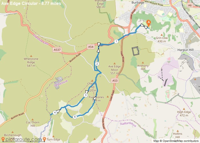
Distance: 8.8 Miles Time: 4 hours 23 minutes Elevation: 128 Feet Terrain: Mixed Start Point: Ladmanlow End Point: Ladmanlow A hilly circular walking route,
Distance: 8.8 Miles
Starting Point: Ladmanlow
Terrain: Mixed
Elevation: 128 Feet
OS Map: OS Explorer
Walking Time: 4 hours 23 minutes
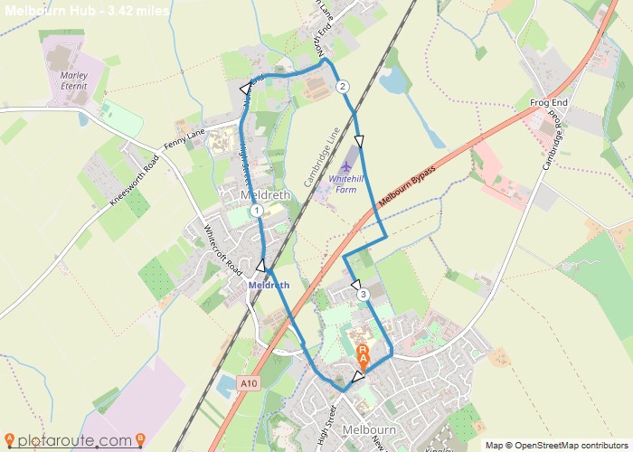
Distance: 3.4 Miles Time: 1 hour 24 minutes Elevation: 3261 Feet Terrain: Off-Road Start Point: Melbourn End Point: Melbourn null
Distance: 3.4 Miles
Starting Point: Melbourn
Terrain: Off-Road
Elevation: 3261 Feet
OS Map: OS Explorer
Walking Time: 1 hour 24 minutes
Distance: 11.8 Miles Time: 5 hours 52 minutes Elevation: 1020 Feet Terrain: Off-Road Start Point: Bakewell End Point: Bakewell A hilly A
Distance: 11.8 Miles
Starting Point: Bakewell
Terrain: Off-Road
Elevation: 1020 Feet
OS Map: OS Explorer
Walking Time: 5 hours 52 minutes
Favourite
5.7 mile circular walk starting from Coin St Aldwyns via Bibury and Quenington in Gloucestershire Cotwolds. Distance: 5.7 miles Time:
Distance: 5.7 miles
Starting Point: Bibury
Ending Point: Bibury
Terrain: footpaths and tracks.
Elevation: 413 foot
OS Map: OS Explorer
Walking Time: 2.5 hours
Favourite
18.1 mile walking trail starting from Leighton Buzzard Train Station and finishing in Wolverton Train Station in Greater London following
Distance: 18.1 miles
Starting Point: Leighton Buzzard Train Station, Greater London
Terrain: footpaths and tracks.
Elevation: 488 foot
OS Map: OS Explorer
Walking Time: 7 hours
Cornwall
Favourite
Distance: 13.8 Miles Time: 7 hours 52 minutes Elevation: 2736 Feet Terrain: Mixed Start Point: Port Isaac End Point: Port
Distance: 13.8 Miles
Starting Point: Port Isaac
Terrain: Mixed
Elevation: 2736 Feet
OS Map: OS Explorer
Walking Time: 7 hours 52 minutes
England
Favourite
Test Body 0 feet
Distance: Test Mile
Starting Point: Test SP
Ending Point: Test EP
Terrain: Test Terrain
Elevation: Test Elevation
OS Map: Test OS Map
Walking Time: Test Walking Time
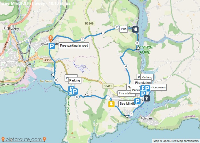
Distance: 10.1 Miles Time: 5 hours 04 minutes Elevation: 1024 Feet Terrain: Mixed Start Point: Tywardreath End Point: Tywardreath Cornwall
Distance: 10.1 Miles
Starting Point: Tywardreath
Terrain: Mixed
Elevation: 1024 Feet
OS Map: OS Explorer
Walking Time: 5 hours 04 minutes
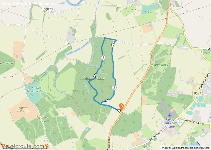
Distance: 2.5 Miles Time: 1 hour 08 minutes Elevation: 184 Feet Terrain: Off-Road Start Point: Stanton by Bridge End Point:
Distance: 2.5 Miles
Starting Point: Stanton by Bridge
Terrain: Off-Road
Elevation: 184 Feet
OS Map: OS Explorer
Walking Time: 1 hour 08 minutes
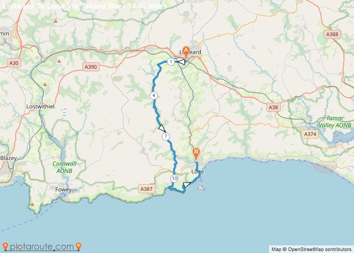
Distance: 14.4 Miles Time: 6 hours 50 minutes Elevation: 5577 Feet Terrain: Mixed Start Point: Liskeard End Point: Liskeard A hilly A
Distance: 14.4 Miles
Starting Point: Liskeard
Ending Point: Liskeard
Terrain: Mixed
Elevation: 5577 Feet
OS Map: OS Explorer
Walking Time: 6 hours 50 minutes
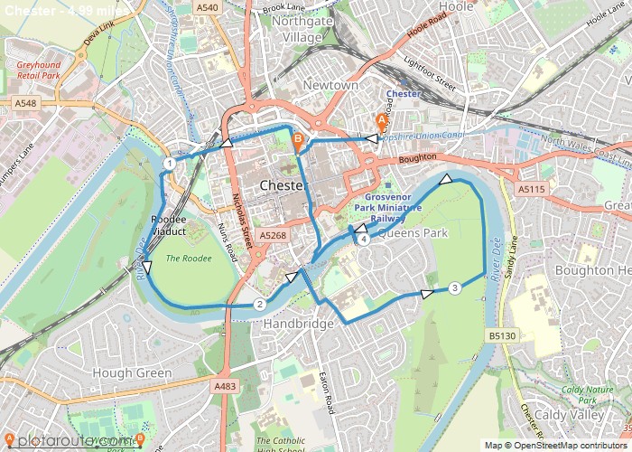
Distance: 5.0 Miles Time: 2 hours 06 minutes Elevation: 1138 Feet Terrain: Mixed Start Point: Chester End Point: Chester null
Distance: 5.0 Miles
Starting Point: Chester
Terrain: Mixed
Elevation: 1138 Feet
OS Map: OS Explorer
Walking Time: 2 hours 06 minutes
Favourite
18 mile walk starting from Birdlip following the Cotsway Way to Middleyard. The stretch of the Cotswold Way between Birdlip
Distance: 18 miles
Starting Point: Birdlip
Ending Point: Birdlip
Terrain: footpaths and tracks,
Elevation: 2716 foot
OS Map: OS Explorer
Walking Time: 11 hours
Derbyshire
Favourite
Distance: 15.6 Miles Time: 7 hours 00 minutes Elevation: 2080 Feet Terrain: Off-Road Start Point: Grindleford End Point: Grindleford Easy
Distance: 15.6 Miles
Starting Point: Grindleford
Terrain: Off-Road
Elevation: 2080 Feet
OS Map: OS Explorer
Walking Time: 7 hours 00 minutes
Castleton
Favourite
Distance: 4.7 Miles Time: 2 hours 37 minutes Elevation: 190 Feet Terrain: Off-Road Start Point: Castleton End Point: Castleton A hilly circular walking route,
Distance: 4.7 Miles
Starting Point: Castleton
Terrain: Off-Road
Elevation: 190 Feet
OS Map: OS Explorer
Walking Time: 2 hours 37 minutes
Loading…


