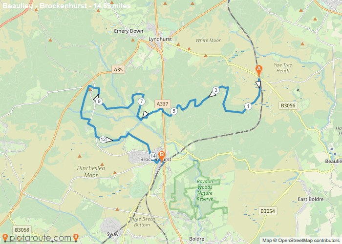
8 mile circular walking route starting from Ashurst to Brockenhurst in Hampshire. Distance: 8 milesTime: 3 hoursElevation: 472 footTerrain: footpaths
Distance: 8 miles
Starting Point: Ashurst Train Station
Terrain: footpaths and tracks.
Elevation: 472 foot
OS Map: OS Explorer
Walking Time: 3 hours
Great Longstone
Favourite
5.9 mile circular walking route starting from Great Longstone, Derbyshire in the Peak District. Distance: 5.9 milesTime: 2.5 hoursElevation: 626
Distance: 5.9 miles
Starting Point: Great Longstone Car Park, Derbyshire.
Ending Point: Great Longstone Car Park, Derbyshire.
Terrain: footpaths and tracks.
Elevation: 626 foot
OS Map: OS Explorer
Walking Time: 2.5 hours
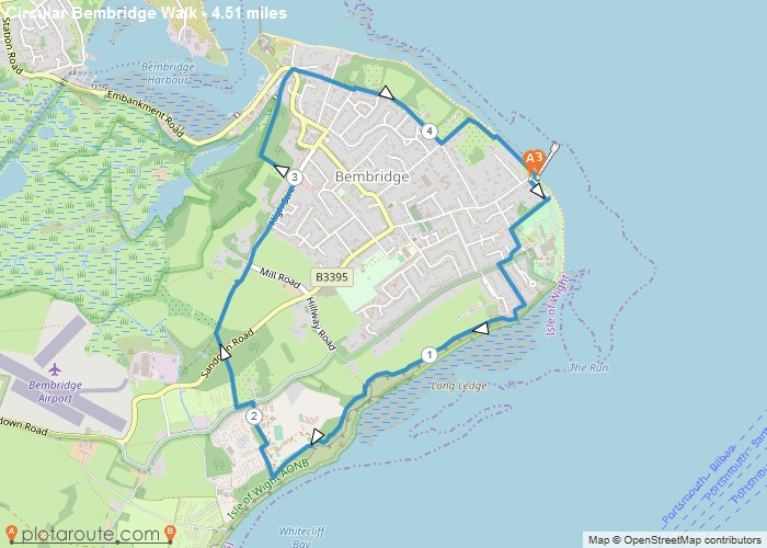
4.5 mile circular walk from Bembridge via Isle of Wight coastal path, the Culver trail and The Yar River trail
Distance: 4.5 miles
Starting Point: Bembridge, Isle of Wight
Ending Point: Bembridge, Isle of Wight
Terrain: footpaths and tracks,
Elevation: 278 foot
OS Map: OS Explorer
Walking Time: 2 hours
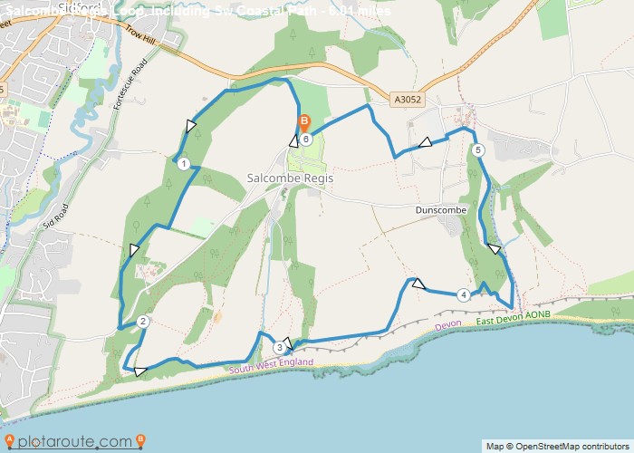
6 mile circular walking route from Sidmouth in Devon. Distance: 6 milesTime: 2.5 hoursElevation: 1292 footTerrain: footpaths and tracks.Map: OS
Distance: 6 miles
Starting Point: Salcombe Regis Car Park, Devon
Terrain: footpaths and tracks.
Elevation: 1292 foot
OS Map: OS Explorer
Walking Time: 2.5 hours
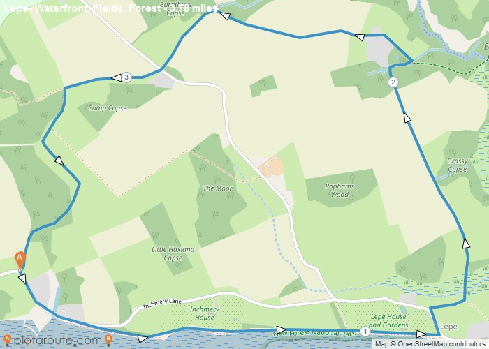
3.7 mile circular walking route starting from Exbury via Lepe in Hampshire. Distance: 3.7 milesTime: 1.5 hoursElevation: 141 footTerrain: footpaths
Distance: 3.7 miles
Starting Point: Lymington, Hampshire.
Ending Point: Lymington, Hampshire.
Terrain: footpaths and tracks.
Elevation: 141 foot
OS Map: OS Explorer
Walking Time: 1.5 hours
Favourite
16.4 mile circular walking route starting from Lymington via East End, St Leonards, Beaulieu, East Boldre and Beaulieu Heath in
Distance: 16.4 miles
Starting Point: Brockenhurst
Ending Point: Brockenhurst
Terrain: footpaths and tracks.
Elevation: 732 foot
OS Map: OS Explorer
Walking Time: 3 hours
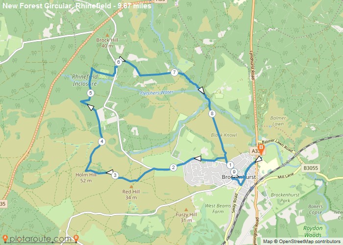
9.6 mile circular walking route starting from Brockenhurst in Hampshire. Distance: 9.6 milesTime: 4 hoursElevation: 459 footTerrain: footpaths and tracks.Map:
Distance: 9.6 miles
Starting Point: Brockenhurst
Ending Point: Brockenhurst
Terrain: footpaths and tracks.
Elevation: 459 foot
OS Map: OS Explorer
Walking Time: 4 hours
Derbyshire
Favourite
11.4 mile circular walking route starting from Yougreave via Monyash and Alport, Derbyshire in the Peak District. Distance: 11.4 milesTime:
Distance: 11.4 miles
Starting Point: Great Longstone Car Park, Derbyshire.
Ending Point: Great Longstone Car Park, Derbyshire.
Terrain: footpaths and tracks.
Elevation: 1158 foot
OS Map: OS Explorer
Walking Time: 5 hours
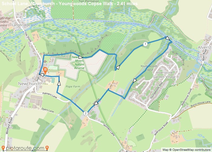
2.4 mile circular walk from Newchurch via Newchurch Moor Nature Reserve and Youngwoods Copse in Isle of Wight Distance: 2.4
Distance: 2.4 miles
Starting Point: Newchurch, Isle of Wight
Ending Point: Newchurch, Isle of Wight
Terrain: footpaths and tracks.
Elevation: 272 foot
OS Map: OS Explorer
Walking Time: 1 hours
Favourite
10.7 mile circular walking route starting from Beaulieu to Brockenhurst in Hampshire. Distance: 10.7 milesTime: 4 hoursElevation: 508 footTerrain: footpaths
Distance: 10.7 miles
Starting Point: Moonhills New Forest Train Car Park
Ending Point: Moonhills New Forest Train Car Park
Terrain: footpaths and tracks,
Elevation: 508 foot
OS Map: OS Explorer
Walking Time: 4 hours
