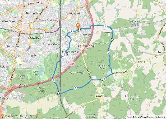
Distance: 7.2 Miles
Time: 3 hours 15 minutes
Elevation: 2552 Feet
Terrain: Mixed
Start Point: Crawley
End Point: Crawley
Home to Worth Way, style, Worth Abbey, Whitely Hill,Balcombe Rd, rail bridge, M23 bridge, skirt golf Tilgate course, rail footbridge to Maidenbower, footpath to Pound Hill, home.
OS Maps Required
OS Explorer Map (102, 103, 104, 105, 106, 107, 109 and 111) Cornwall Set
Map of Trail

Loading...
No Records Found
Sorry, no records were found. Please adjust your search criteria and try again.
Maps failed to load
Sorry, unable to load the Maps API.

