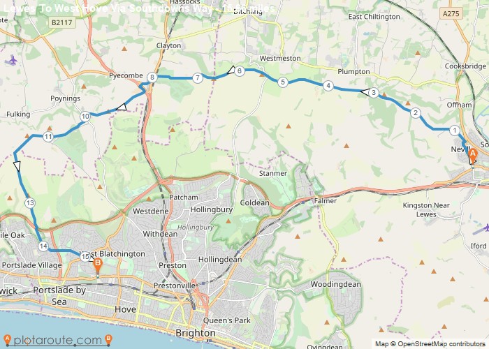
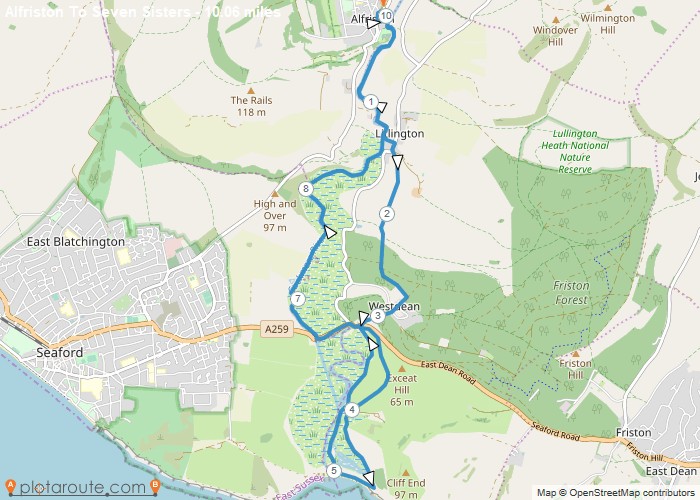
Distance: 15.7 Miles Time: 7 hours 22 minutes Elevation: 75 Feet Terrain: Mixed Start Point: Hove End Point: Hove null
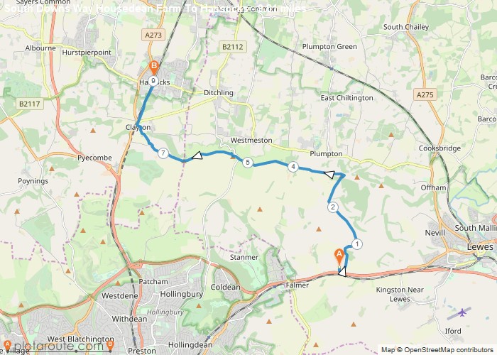
Distance: 9.0 Miles Time: 4 hours 16 minutes Elevation: 1024 Feet Terrain: Mixed Start Point: Falmer End Point: Falmer null
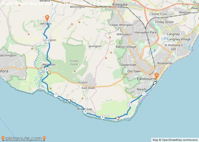
Distance: 12.3 Miles Time: 6 hours 15 minutes Elevation: 1775 Feet Terrain: Mixed Start Point: Eastbourne End Point: Eastbourne null
Distance: 5.9 Miles Time: 2 hours 53 minutes Elevation: 102 Feet Terrain: Off-Road Start Point: Brighton End Point: Brighton null
Distance: 12.1 Miles Time: 6 hours 15 minutes Elevation: 371 Feet Terrain: Off-Road Start Point: Alfriston End Point: Alfriston null
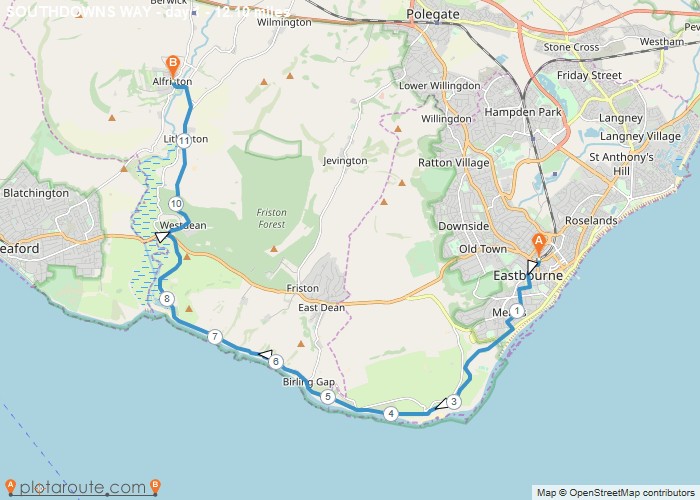
Distance: 10.1 Miles Time: 4 hours 30 minutes Elevation: 495 Feet Terrain: Mixed Start Point: Alfriston End Point: Alfriston null
Favourite
Alfriston to Eastbourne walking route via the Birling Gap following South Downs way footpath in the direction to Eastbourne. Distance:
Favourite
Kingston near Lewes to Alfriston walking route following South Downs way footpath in the direction to Eastbourne. Distance: 11.6 miles
Favourite
Pyecombe to Kingston near Lewes walking route following South Downs way footpath in the direction to Eastbourne. Distance: 11.8 miles
Favourite
Upper Beeding to Pyecombe walking route following the South Downs way footpath in the direction to Eastbourne. Distance: 6.6 miles
