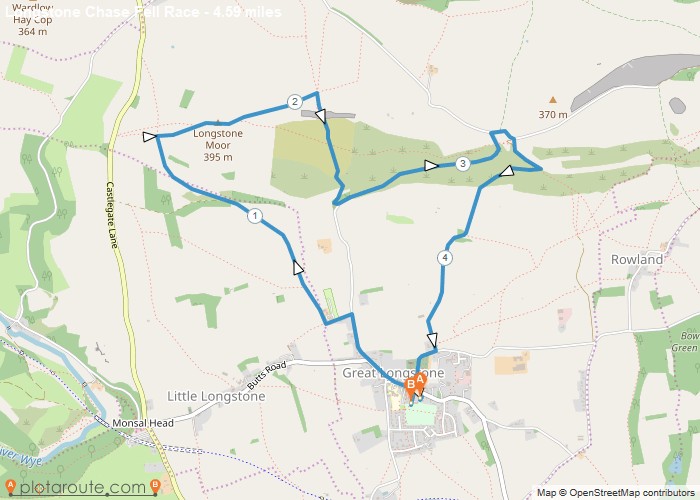
Distance: 4.6 Miles Time: 2 hours 25 minutes Elevation: 2405 Feet Terrain: Mixed Start Point: Bakewell End Point: Bakewell The
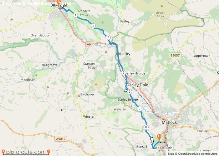
Distance: 9.7 Miles Time: 4 hours 51 minutes Elevation: 1644 Feet Terrain: Off-Road Start Point: Bakewell End Point: Bakewell A hilly A
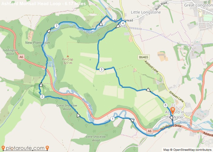
Distance: 6.2 Miles Time: 3 hours 01 minutes Elevation: 361 Feet Terrain: Off-Road Start Point: Ashford in the Water End
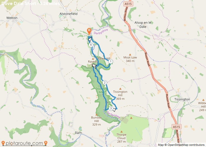
Distance: 5.2 Miles Time: 2 hours 58 minutes Elevation: 2333 Feet Terrain: Off-Road Start Point: Ashbourne End Point: Ashbourne A hilly circular walking route,
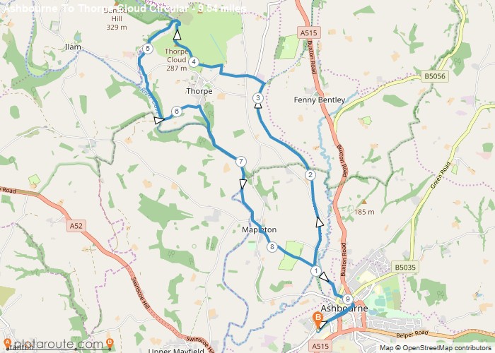
Distance: 9.5 Miles Time: 4 hours 36 minutes Elevation: 640 Feet Terrain: Off-Road Start Point: Ashbourne End Point: Ashbourne A hilly circular walking route,
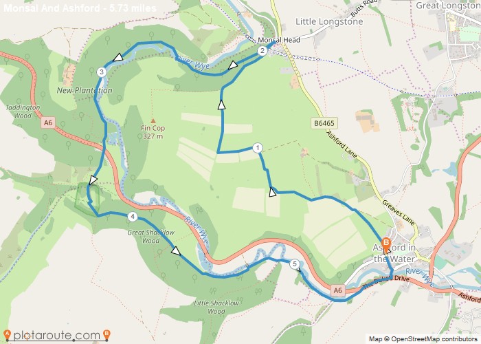
Distance: 5.7 Miles Time: 2 hours 49 minutes Elevation: 640 Feet Terrain: Off-Road Start Point: Ashford in the Water End
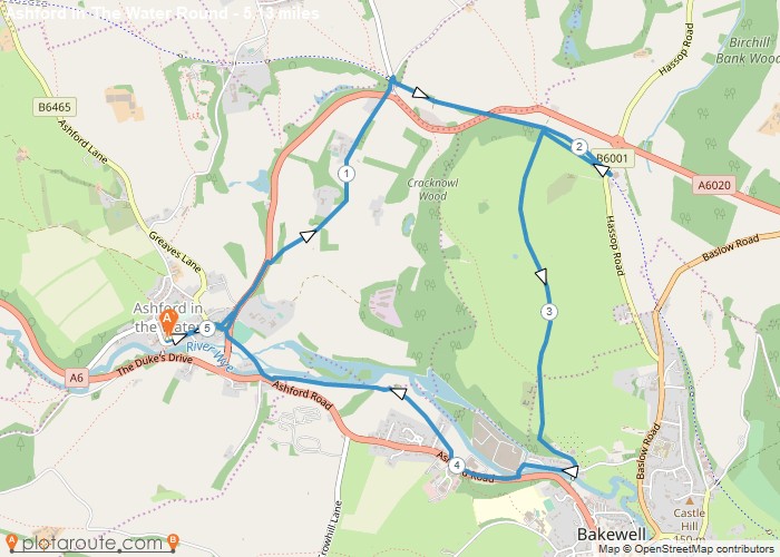
Distance: 5.1 Miles Time: 2 hours 22 minutes Elevation: 623 Feet Terrain: Off-Road Start Point: Ashford in the Water End
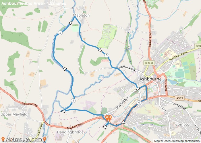
Distance: 4.5 Miles Time: 2 hours 01 minutes Elevation: 331 Feet Terrain: Mixed Start Point: Ashbourne End Point: Ashbourne A moderately
Favourite
Distance: 4.0 Miles Time: 1 hour 50 minutes Elevation: 344 Feet Terrain: Mixed Start Point: Ashbourne End Point: Ashbourne A moderately
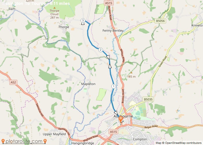
Distance: 6.1 Miles Time: 2 hours 48 minutes Elevation: 2014 Feet Terrain: Mixed Start Point: Ashbourne End Point: Ashbourne A moderately
