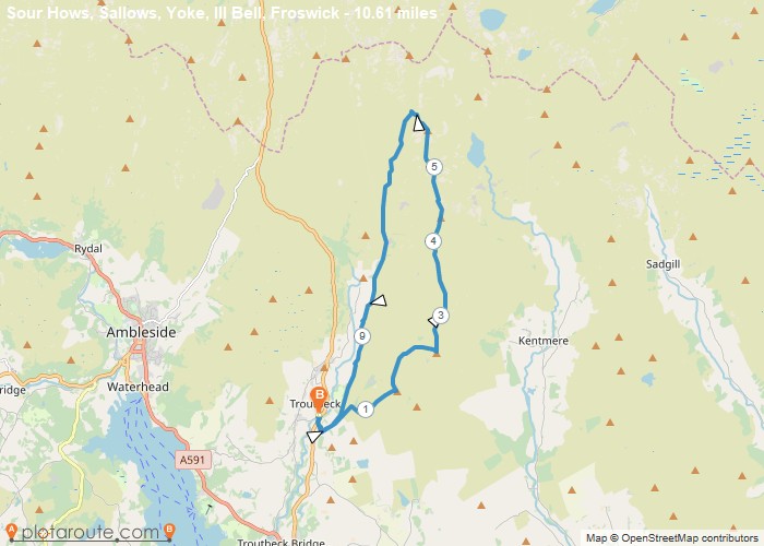
Distance: 10.6 Miles Time: 6 hours 16 minutes Elevation: 1332 Feet Terrain: Off-Road Start Point: Windermere End Point: Windermere A hilly circular walking route,
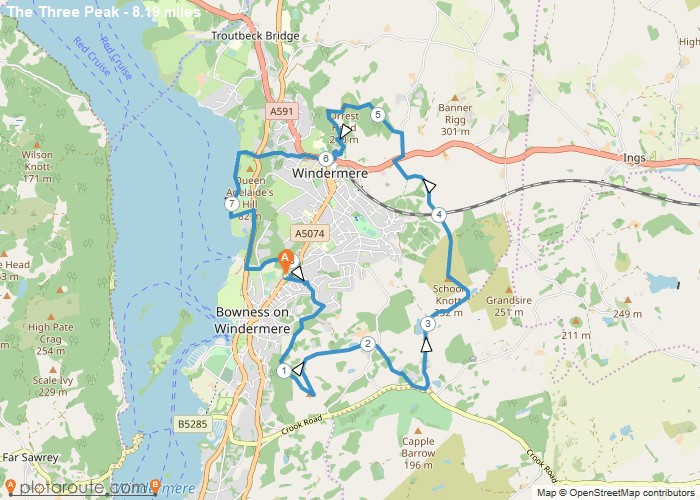
Distance: 8.2 Miles Time: 4 hours 09 minutes Elevation: 56 Feet Terrain: Mixed Start Point: Windermere End Point: Windermere A hilly circular walking route,
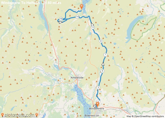
Distance: 21.6 Miles Time: 12 hours 34 minutes Elevation: 492 Feet Terrain: Mixed Start Point: Windermere End Point: Windermere A hilly A
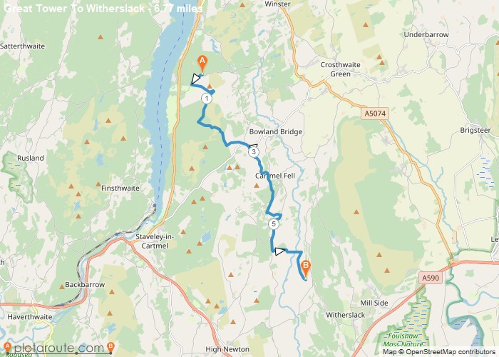
Distance: 6.8 Miles Time: 3 hours 11 minutes Elevation: 1257 Feet Terrain: Off-Road Start Point: Windermere End Point: Windermere doe
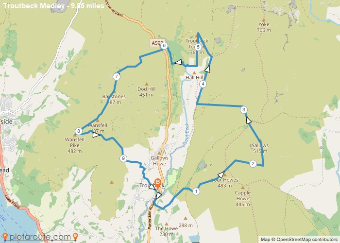
Distance: 9.9 Miles Time: 6 hours 17 minutes Elevation: 1211 Feet Terrain: Mixed Start Point: Windermere End Point: Windermere Sour
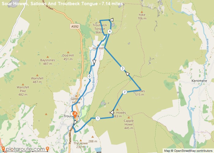
Distance: 7.1 Miles Time: 4 hours 20 minutes Elevation: 1821 Feet Terrain: Mixed Start Point: Windermere End Point: Windermere Short
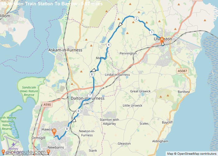
Distance: 10.0 Miles Time: 4 hours 42 minutes Elevation: 49 Feet Terrain: Mixed Start Point: Ulverston End Point: Ulverston A hilly A
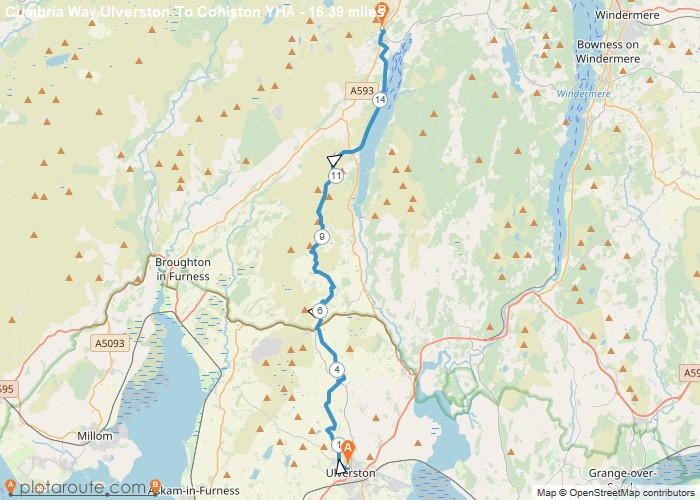
Distance: 16.4 Miles Time: 7 hours 50 minutes Elevation: 299 Feet Terrain: Mixed Start Point: Ulverston End Point: Ulverston A hilly A
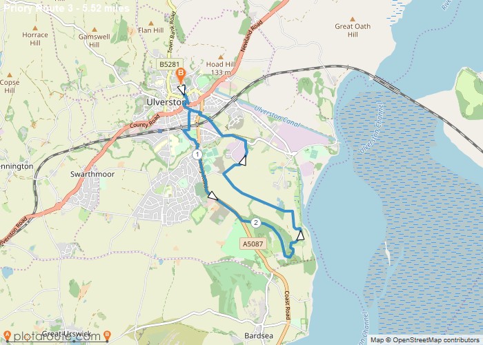
Distance: 5.5 Miles Time: 2 hours 19 minutes Elevation: 879 Feet Terrain: Mixed Start Point: Ulverston End Point: Ulverston A moderately
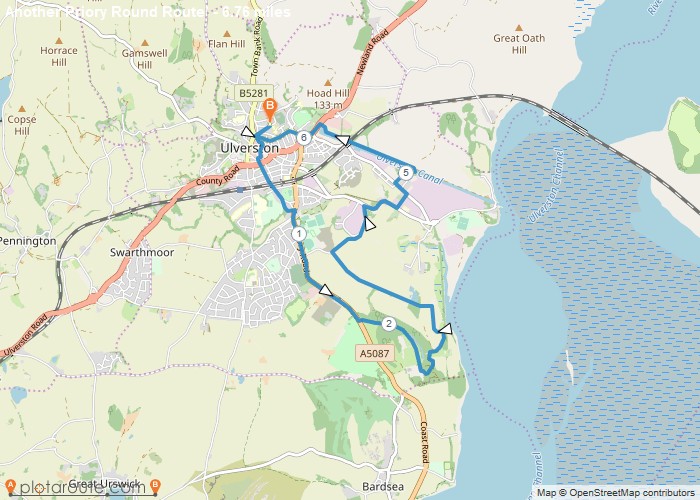
Distance: 6.8 Miles Time: 2 hours 52 minutes Elevation: 249 Feet Terrain: Mixed Start Point: Ulverston End Point: Ulverston A moderately
