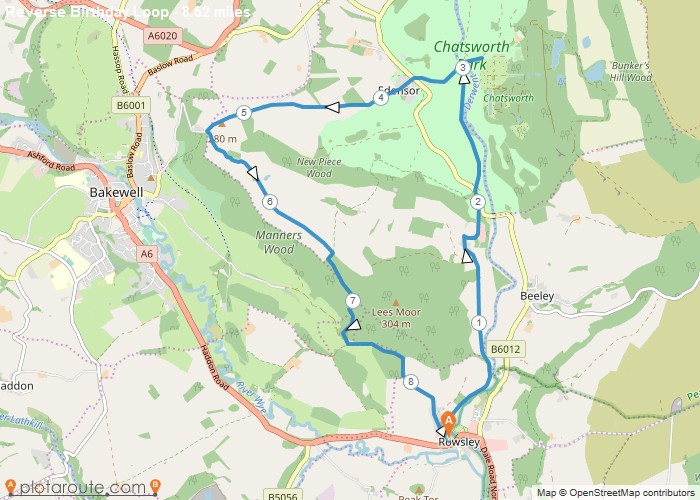
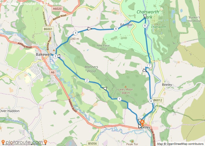
Distance: 8.5 Miles Time: 4 hours 02 minutes Elevation: 3202 Feet Terrain: Mixed Start Point: Rowsley End Point: Rowsley A hilly circular walking route,
Favourite
Distance: 8.4 Miles Time: 4 hours 03 minutes Elevation: 259 Feet Terrain: Mixed Start Point: Rowsley End Point: Rowsley A hilly A
Favourite
Distance: 8.0 Miles Time: 3 hours 43 minutes Elevation: 932 Feet Terrain: Mixed Start Point: Rowsley End Point: Rowsley A moderately
Distance: 8.8 Miles Time: 4 hours 15 minutes Elevation: 92 Feet Terrain: Mixed Start Point: Rowsley End Point: Rowsley A hilly circular walking route,
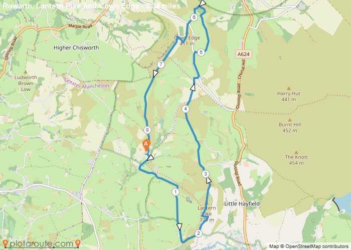
Distance: 8.3 Miles Time: 4 hours 17 minutes Elevation: 2477 Feet Terrain: Mixed Start Point: Rowarth End Point: Rowarth A hilly circular walking route,
Derbyshire
Favourite
Distance: 8.1 Miles Time: 4 hours 13 minutes Elevation: 522 Feet Terrain: Mixed Start Point: Rowarth End Point: Rowarth A hilly circular walking route,
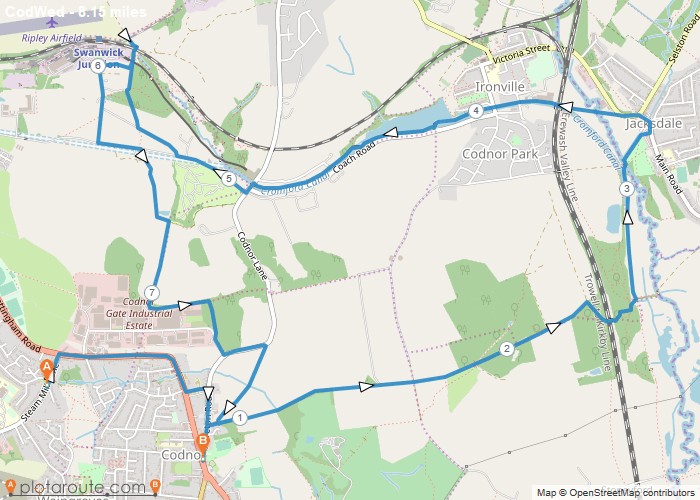
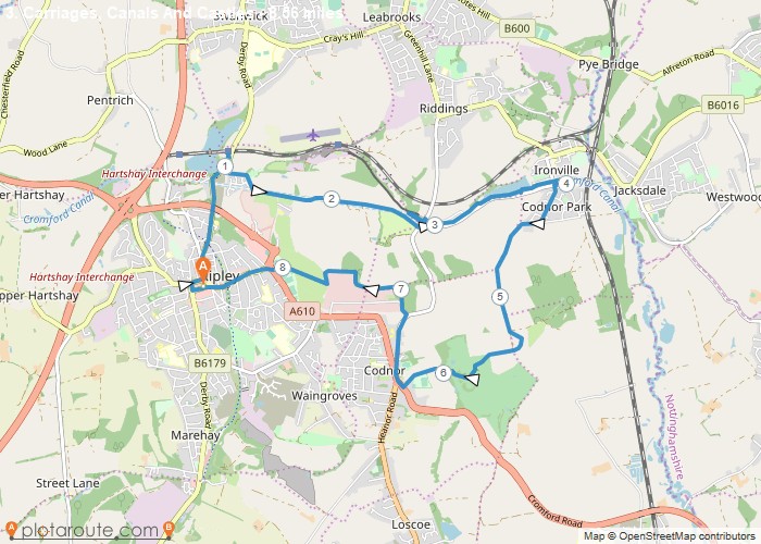
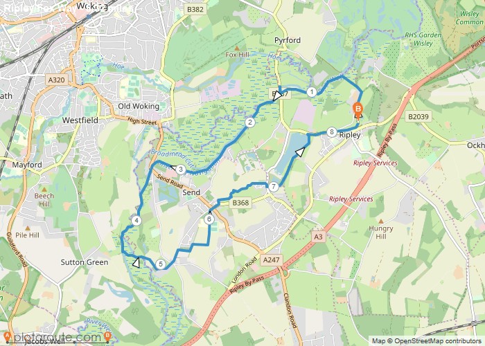
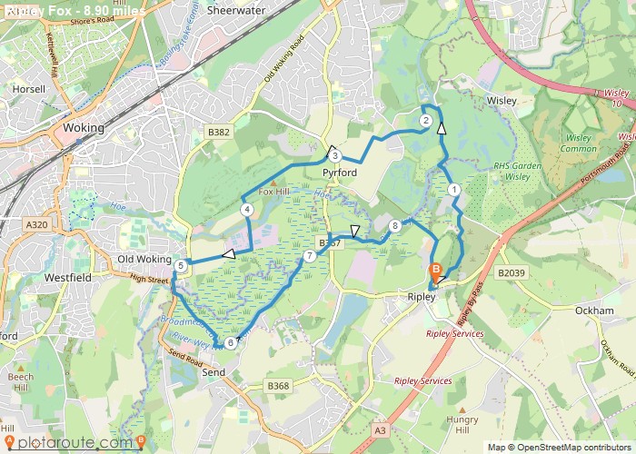
Distance: 8.1 Miles Time: 3 hours 38 minutes Elevation: 1138 Feet Terrain: Mixed Start Point: Ripley End Point: Ripley A moderately
Distance: 8.6 Miles Time: 3 hours 53 minutes Elevation: 971 Feet Terrain: Mixed Start Point: Ripley End Point: Ripley A moderately
Distance: 8.3 Miles Time: 3 hours 25 minutes Elevation: 633 Feet Terrain: Mixed Start Point: Ripley End Point: Ripley A relatively
Distance: 8.9 Miles Time: 3 hours 41 minutes Elevation: 1266 Feet Terrain: Mixed Start Point: Ripley End Point: Ripley A relatively
