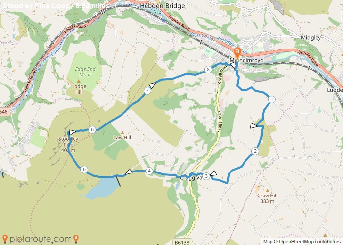
Distance: 8.5 Miles Time: 4 hours 29 minutes Elevation: 1627 Feet Terrain: Mixed Start Point: Mytholmroyd End Point: Mytholmroyd null
Favourite
Distance: 8.8 Miles Time: 4 hours 25 minutes Elevation: 1368 Feet Terrain: Off-Road Start Point: Mytholmroyd End Point: Mytholmroyd null
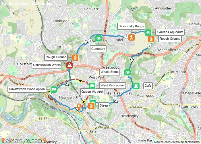
Distance: 8.3 Miles Time: 3 hours 47 minutes Elevation: 696 Feet Terrain: Mixed Start Point: Kirkstall End Point: Kirkstall Tree
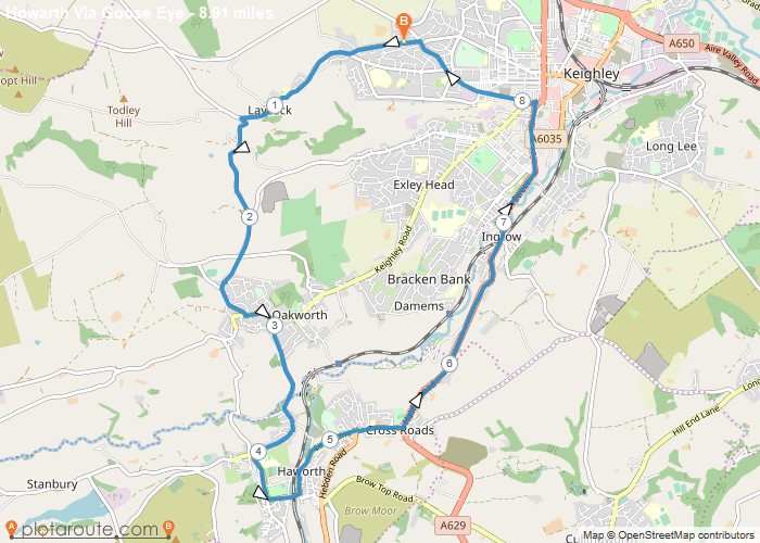
Distance: 8.9 Miles Time: 4 hours 21 minutes Elevation: 1188 Feet Terrain: Road Start Point: Keighley End Point: Keighley A hilly circular walking route,
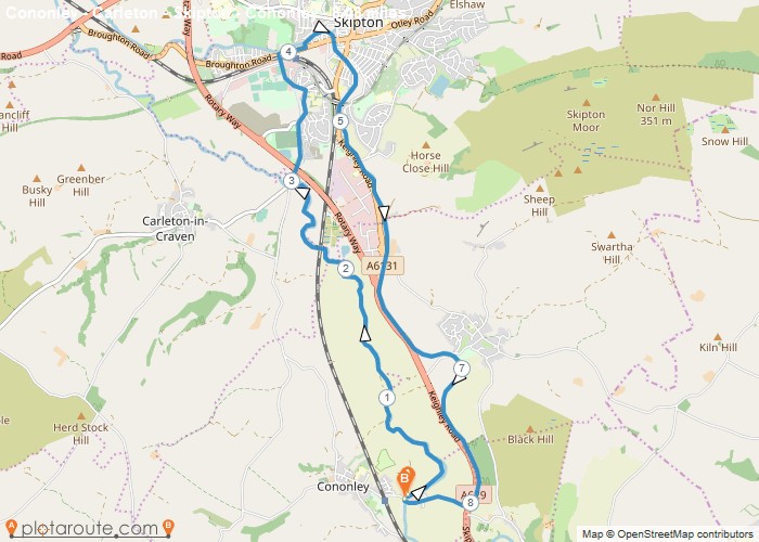
Distance: 8.5 Miles Time: 3 hours 31 minutes Elevation: 197 Feet Terrain: Mixed Start Point: Keighley End Point: Keighley null
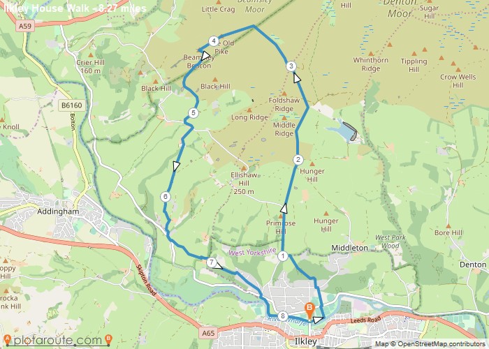
Distance: 8.3 Miles Time: 4 hours 07 minutes Elevation: 1230 Feet Terrain: Mixed Start Point: Ilkley End Point: Ilkley null
Distance: 8.7 Miles Time: 4 hours 18 minutes Elevation: 1243 Feet Terrain: Off-Road Start Point: Ilkley End Point: Ilkley null
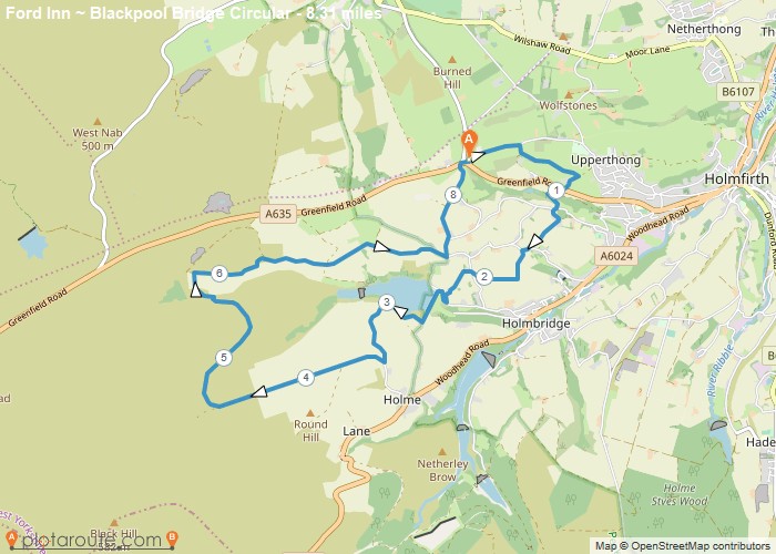
Distance: 8.3 Miles Time: 4 hours 08 minutes Elevation: 1214 Feet Terrain: Mixed Start Point: Holmfirth End Point: Holmfirth null
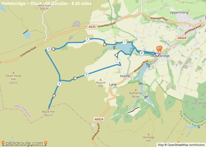
Distance: 8.4 Miles Time: 4 hours 21 minutes Elevation: 1496 Feet Terrain: Off-Road Start Point: Holmbridge End Point: Holmbridge The
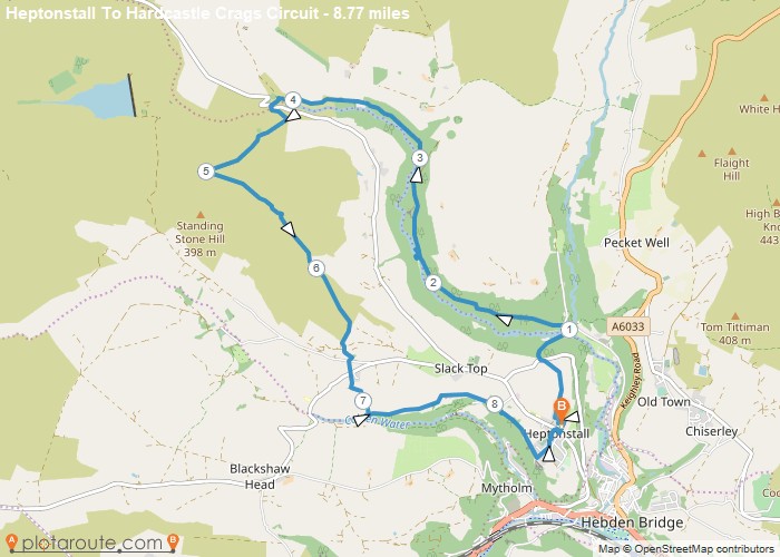
Distance: 8.8 Miles Time: 4 hours 23 minutes Elevation: 1322 Feet Terrain: Mixed Start Point: Heptonstall End Point: Heptonstall A hilly circular walking route,
