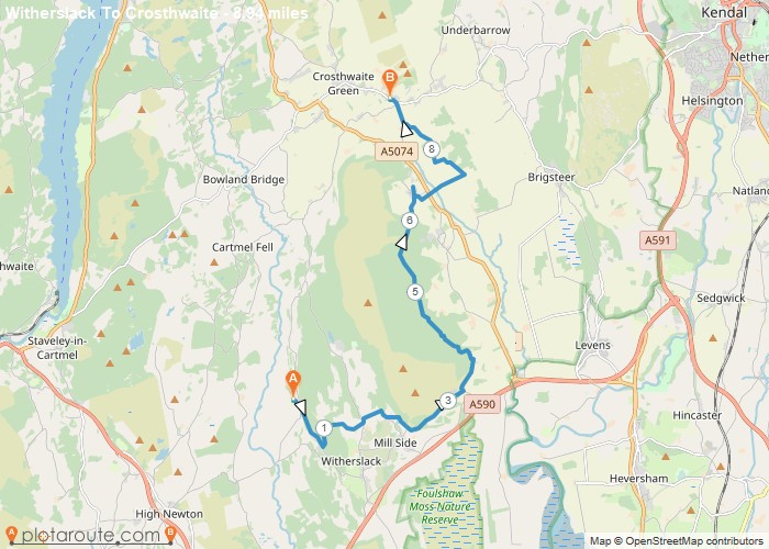
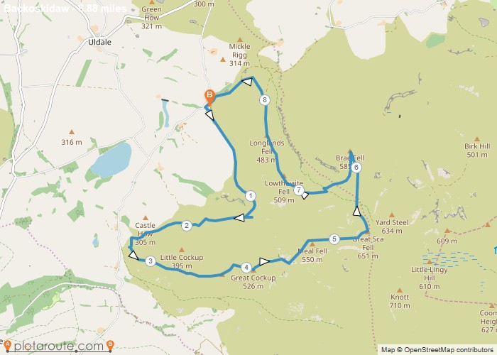
Distance: 8.9 Miles Time: 4 hours 24 minutes Elevation: 1473 Feet Terrain: Off-Road Start Point: Witherslack End Point: Witherslack doe
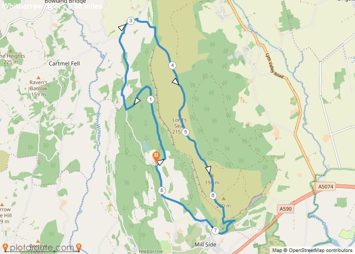
Distance: 8.4 Miles Time: 4 hours 08 minutes Elevation: 607 Feet Terrain: Mixed Start Point: Witherslack End Point: Witherslack A hilly circular walking route,
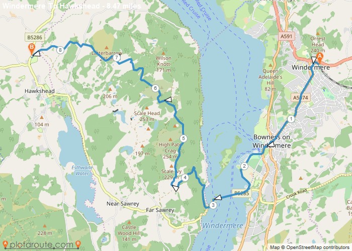
Distance: 8.5 Miles Time: 4 hours 08 minutes Elevation: 240 Feet Terrain: Mixed Start Point: Windermere End Point: Windermere A hilly A
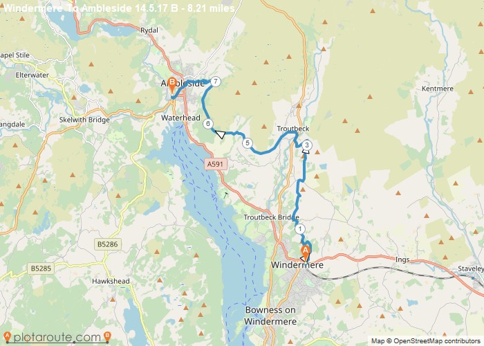
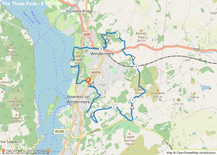
Distance: 8.2 Miles Time: 4 hours 11 minutes Elevation: 2736 Feet Terrain: Mixed Start Point: Windermere End Point: Windermere A hilly A
Distance: 8.2 Miles Time: 4 hours 09 minutes Elevation: 56 Feet Terrain: Mixed Start Point: Windermere End Point: Windermere A hilly circular walking route,
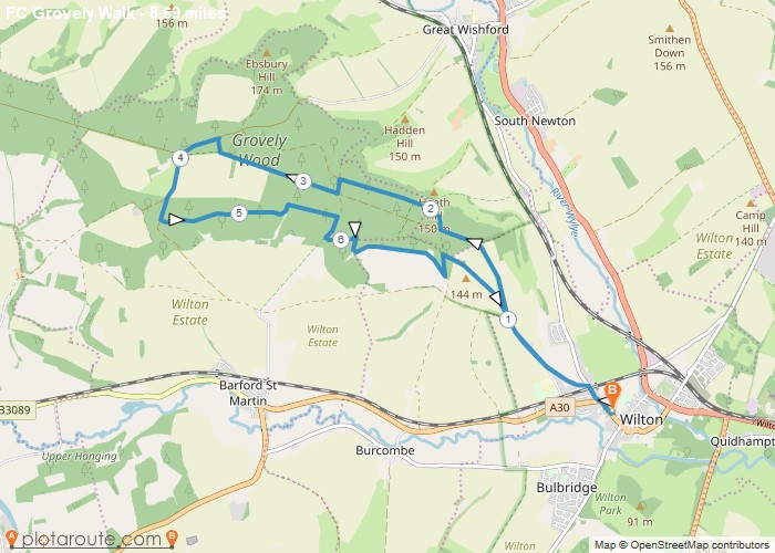
Distance: 8.7 Miles Time: 3 hours 53 minutes Elevation: 190 Feet Terrain: Mixed Start Point: Wilton End Point: Wilton A moderately
Distance: 8.9 Miles Time: 5 hours 15 minutes Elevation: 965 Feet Terrain: Mixed Start Point: Wigton End Point: Wigton A hilly circular walking route,
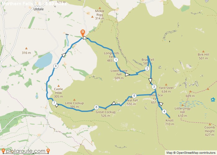
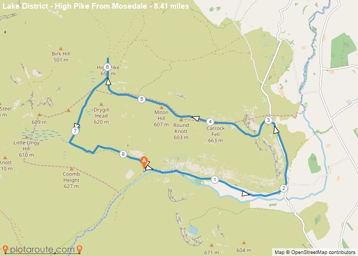
Distance: 8.4 Miles Time: 4 hours 36 minutes Elevation: 3025 Feet Terrain: Mixed Start Point: Wigton End Point: Wigton A hilly circular walking route,
Distance: 8.9 Miles Time: 5 hours 05 minutes Elevation: 207 Feet Terrain: Off-Road Start Point: Wigton End Point: Wigton A hilly circular walking route
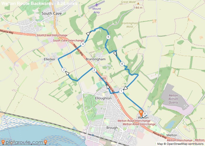
Distance: 8.2 Miles Time: 3 hours 51 minutes Elevation: 846 Feet Terrain: Mixed Start Point: Welton End Point: Welton A hilly circular walking route,
