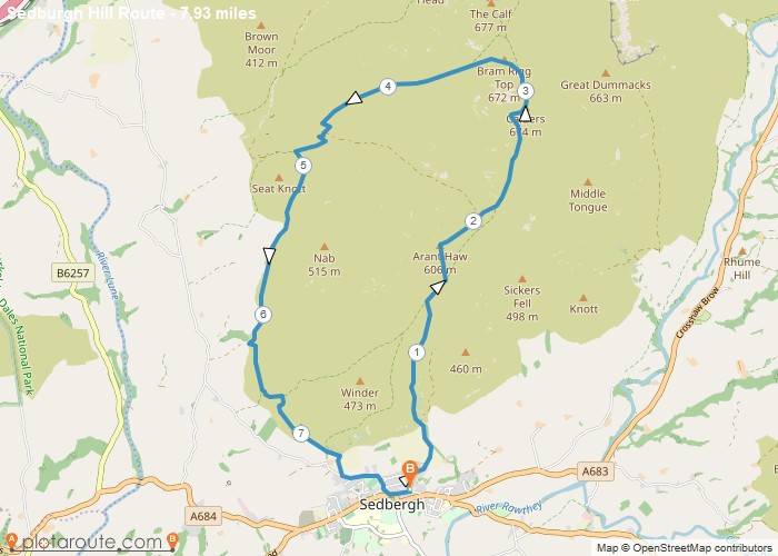
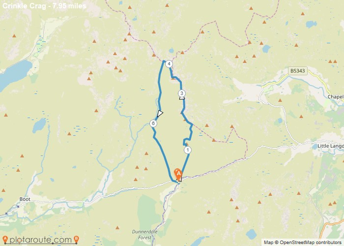
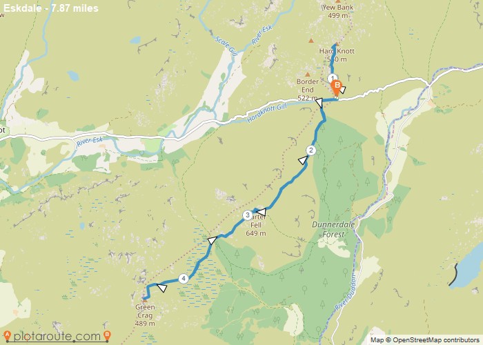
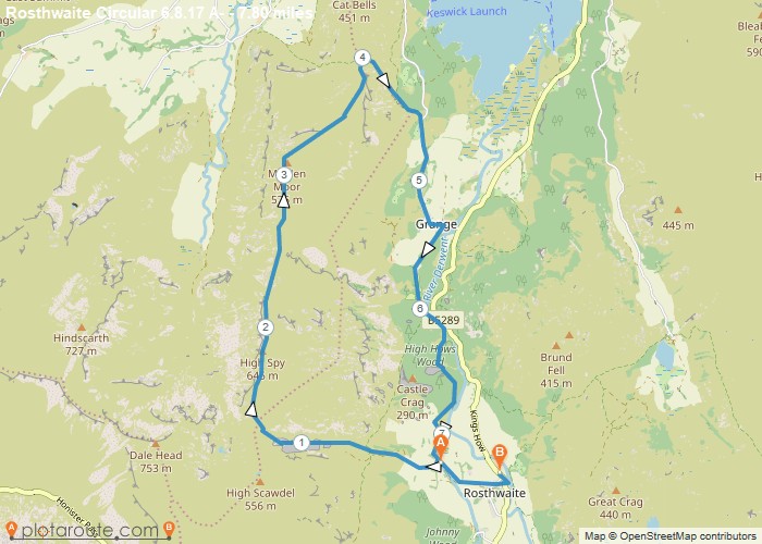
Distance: 7.9 Miles Time: 4 hours 59 minutes Elevation: 102 Feet Terrain: Mixed Start Point: Sedbergh End Point: Sedbergh A hilly circular walking route,
Distance: 7.3 Miles Time: 4 hours 38 minutes Elevation: 433 Feet Terrain: Off-Road Start Point: Seathwaite End Point: Seathwaite A hilly circular walking route,
Favourite
Distance: 7.2 Miles Time: 5 hours 32 minutes Elevation: 4820 Feet Terrain: Off-Road Start Point: Seathwaite End Point: Seathwaite A hilly circular walking route
Distance: 8.0 Miles Time: 5 hours 15 minutes Elevation: 1250 Feet Terrain: Off-Road Start Point: Seathwaite End Point: Seathwaite A hilly circular walking route,
Distance: 7.9 Miles Time: 5 hours 11 minutes Elevation: 2598 Feet Terrain: Off-Road Start Point: Seathwaite End Point: Seathwaite A hilly circular walking route
Distance: 7.8 Miles Time: 4 hours 36 minutes Elevation: 935 Feet Terrain: Mixed Start Point: Rosthwaite End Point: Rosthwaite A hilly A
Distance: 7.3 Miles Time: 3 hours 19 minutes Elevation: 256 Feet Terrain: Mixed Start Point: Reagill End Point: Reagill A moderately
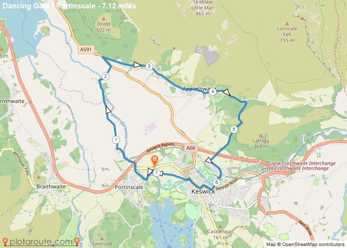
Distance: 7.1 Miles Time: 3 hours 18 minutes Elevation: 965 Feet Terrain: Mixed Start Point: Portinscale End Point: Portinscale A moderately
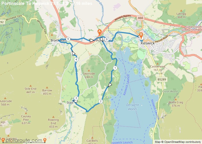
Distance: 7.2 Miles Time: 3 hours 11 minutes Elevation: 1998 Feet Terrain: Mixed Start Point: Portinscale End Point: Portinscale A moderately
Distance: 7.8 Miles Time: 3 hours 38 minutes Elevation: 4022 Feet Terrain: Mixed Start Point: Pooley Bridge End Point: Pooley
