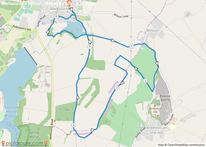
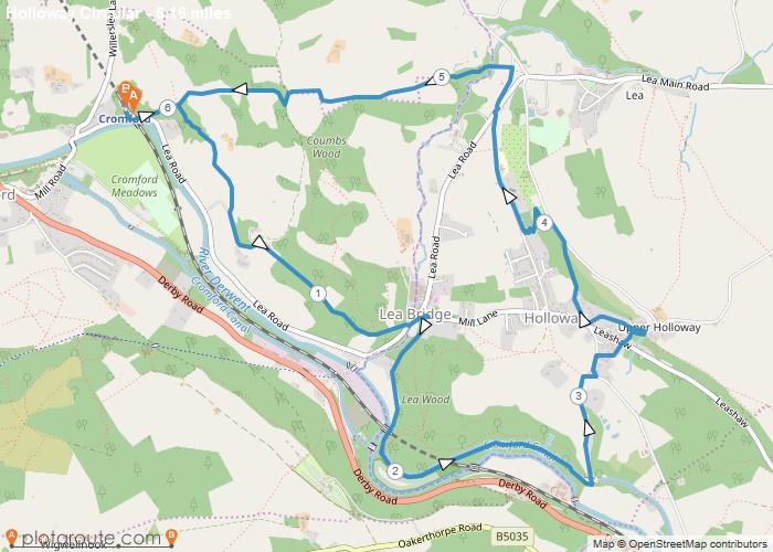
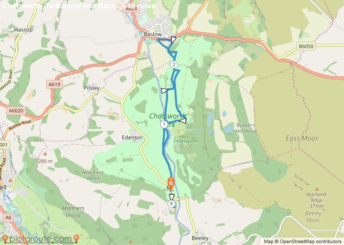
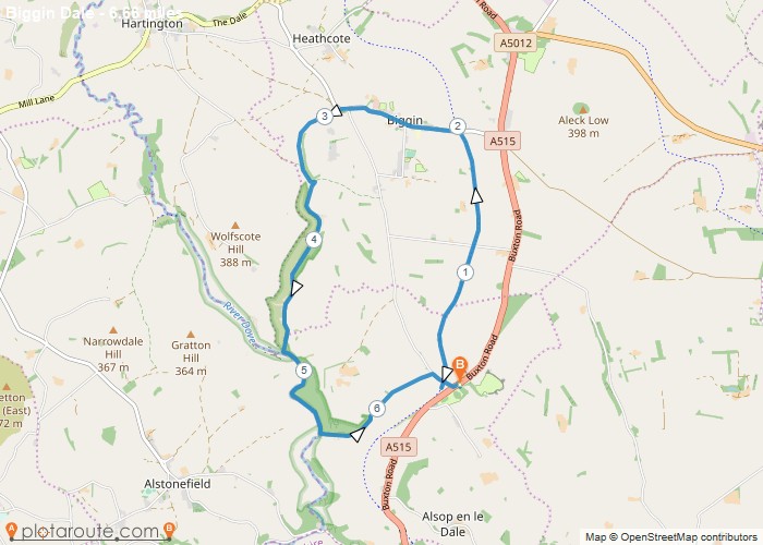
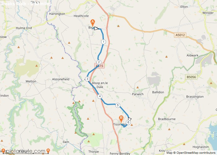
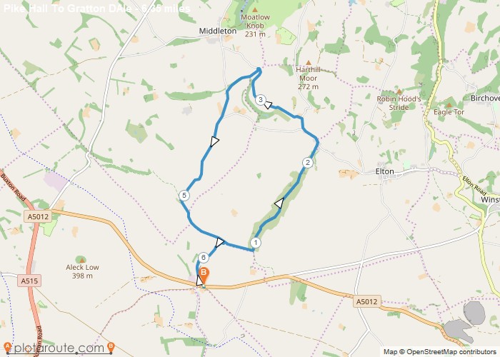
Distance: 6.4 Miles Time: 2 hours 54 minutes Elevation: 597 Feet Terrain: Off-Road Start Point: Melbourne End Point: Melbourne A moderately
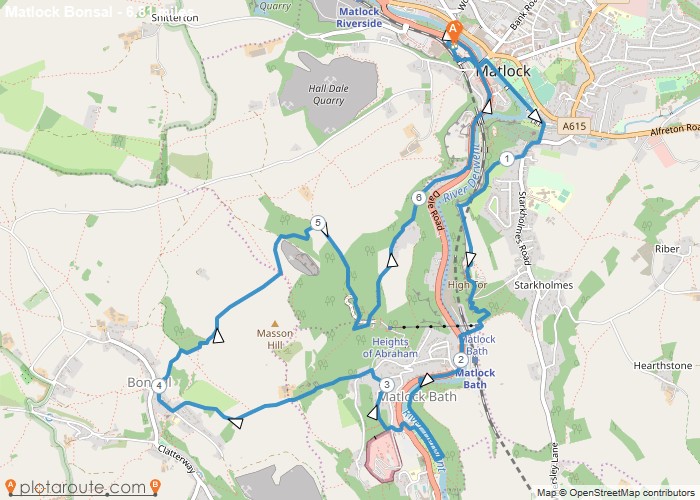
Distance: 6.8 Miles Time: 3 hours 46 minutes Elevation: 2070 Feet Terrain: Mixed Start Point: Matlock End Point: Matlock A hilly circular walking route,
Favourite
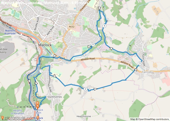
Distance: 6.3 Miles Time: 3 hours 38 minutes Elevation: 121 Feet Terrain: Mixed Start Point: Matlock End Point: Matlock A hilly circular walking route,
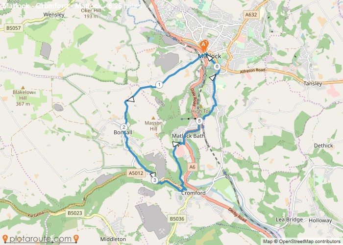
Distance: 7.0 Miles Time: 3 hours 36 minutes Elevation: 312 Feet Terrain: Off-Road Start Point: Matlock End Point: Matlock A hilly circular walking route,
Distance: 6.3 Miles Time: 3 hours 25 minutes Elevation: 420 Feet Terrain: Mixed Start Point: Matlock End Point: Matlock A hilly circular walking route,
Distance: 6.2 Miles Time: 3 hours 20 minutes Elevation: 95 Feet Terrain: Mixed Start Point: Matlock End Point: Matlock A hilly circular walking route,
Distance: 6.2 Miles Time: 2 hours 40 minutes Elevation: 4003 Feet Terrain: Mixed Start Point: Matlock End Point: Matlock A moderately
Distance: 6.7 Miles Time: 3 hours 06 minutes Elevation: 59 Feet Terrain: Mixed Start Point: Longcliffe End Point: Longcliffe A moderately
Distance: 6.5 Miles Time: 2 hours 56 minutes Elevation: 2503 Feet Terrain: Off-Road Start Point: Longcliffe End Point: Longcliffe A moderately
Distance: 6.3 Miles Time: 2 hours 56 minutes Elevation: 728 Feet Terrain: Off-Road Start Point: Longcliffe End Point: Longcliffe A moderately
