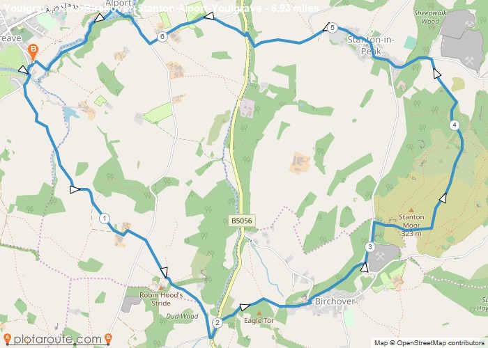
Distance: 6.9 Miles Time: 3 hours 28 minutes Elevation: 331 Feet Terrain: Mixed Start Point: Bakewell End Point: Bakewell A hilly circular walking route,
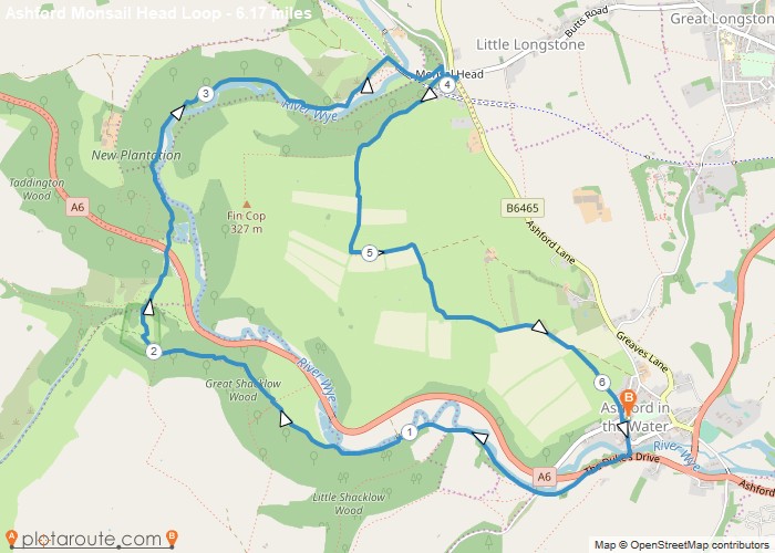
Distance: 6.2 Miles Time: 3 hours 01 minutes Elevation: 361 Feet Terrain: Off-Road Start Point: Ashford in the Water End
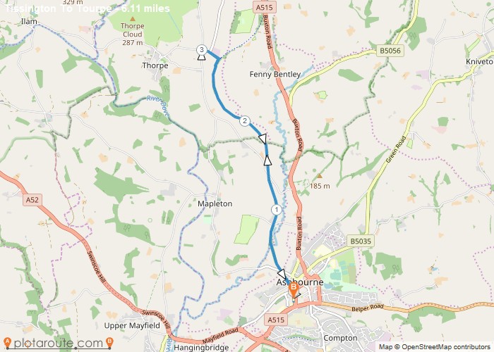
Distance: 6.1 Miles Time: 2 hours 48 minutes Elevation: 2014 Feet Terrain: Mixed Start Point: Ashbourne End Point: Ashbourne A moderately
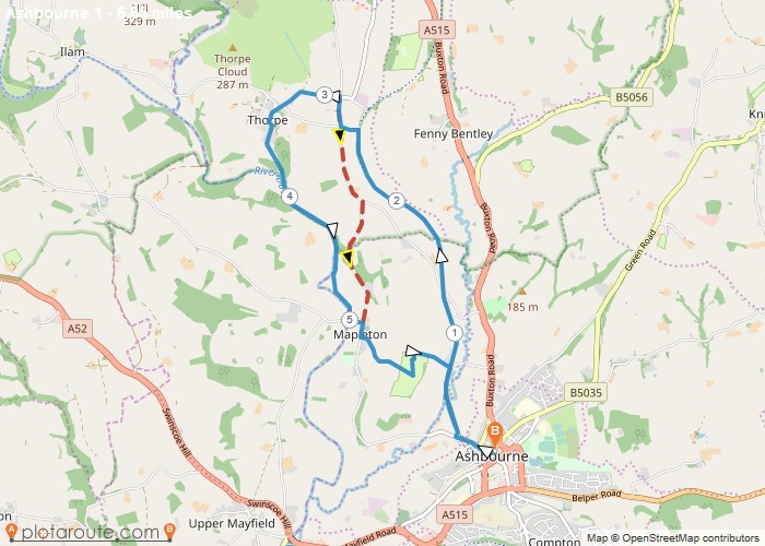
Distance: 6.8 Miles Time: 3 hours 12 minutes Elevation: 781 Feet Terrain: Mixed Start Point: Ashbourne End Point: Ashbourne A moderately
Distance: 6.9 Miles Time: 3 hours 18 minutes Elevation: 577 Feet Terrain: Mixed Start Point: Ashbourne End Point: Ashbourne A hilly A
Distance: 6.5 Miles Time: 2 hours 52 minutes Elevation: 131 Feet Terrain: Off-Road Start Point: Ashbourne End Point: Ashbourne Broken
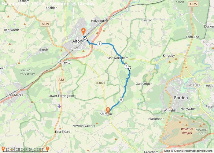
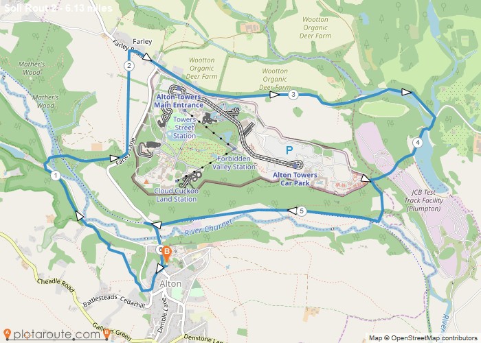
Distance: 6.2 Miles Time: 2 hours 50 minutes Elevation: 1037 Feet Terrain: Mixed Start Point: Alton End Point: Alton A moderately
Distance: 6.1 Miles Time: 3 hours 02 minutes Elevation: 2333 Feet Terrain: Mixed Start Point: Alton End Point: Alton A hilly circular walking route,
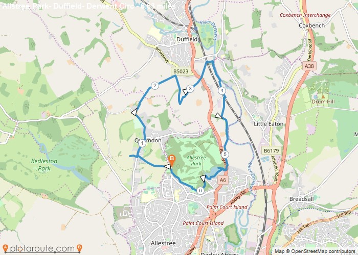
Distance: 6.6 Miles Time: 3 hours 01 minutes Elevation: 955 Feet Terrain: Mixed Start Point: Allestree End Point: Allestree A moderately
Distance: 6.2 Miles Time: 2 hours 53 minutes Elevation: 751 Feet Terrain: Mixed Start Point: Whitehill End Point: Whitehill null
