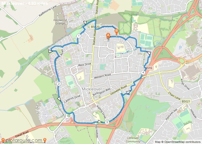
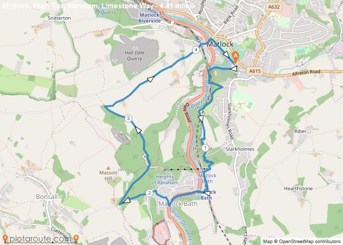
Distance: 4.9 Miles Time: 2 hours 07 minutes Elevation: 141 Feet Terrain: Off-Road Start Point: Mickleover End Point: Mickleover A moderately
Favourite
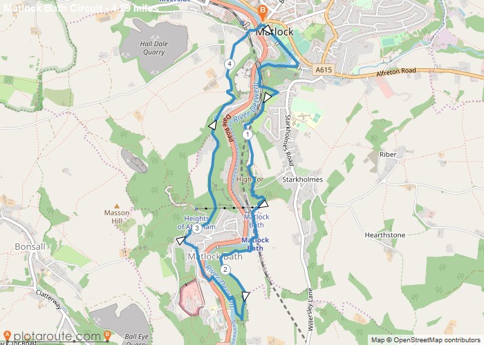
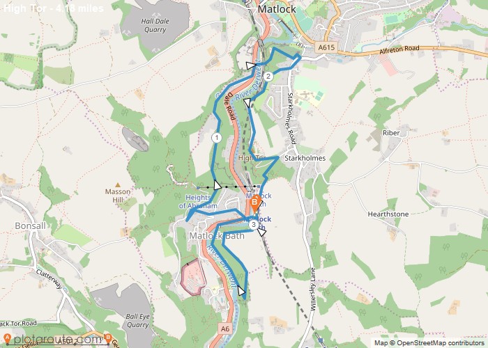
Distance: 4.0 Miles Time: 2 hours 23 minutes Elevation: 1424 Feet Terrain: Mixed Start Point: Matlock Bath End Point: Matlock
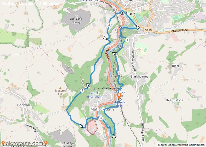
Distance: 5.0 Miles Time: 2 hours 51 minutes Elevation: 971 Feet Terrain: Mixed Start Point: Matlock Bath End Point: Matlock
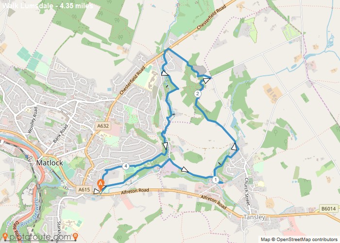
Distance: 4.3 Miles Time: 2 hours 07 minutes Elevation: 2953 Feet Terrain: Off-Road Start Point: Matlock End Point: Matlock A hilly circular walking route,
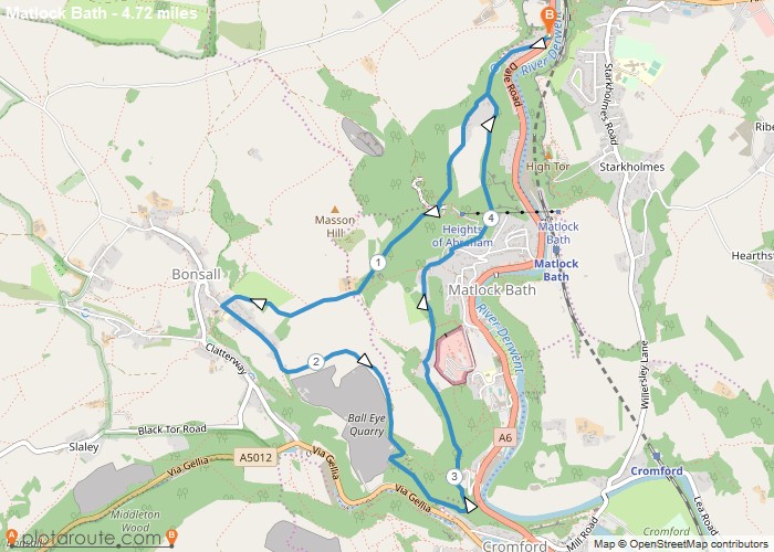
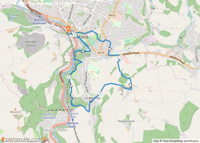
Distance: 4.7 Miles Time: 2 hours 39 minutes Elevation: 1309 Feet Terrain: Mixed Start Point: Matlock End Point: Matlock Medium,
Distance: 4.3 Miles Time: 2 hours 23 minutes Elevation: 797 Feet Terrain: Mixed Start Point: Matlock End Point: Matlock A hilly circular walking route,
Distance: 4.2 Miles Time: 2 hours 20 minutes Elevation: 1165 Feet Terrain: Mixed Start Point: Matlock End Point: Matlock A hilly circular walking route,
Distance: 4.1 Miles Time: 2 hours 16 minutes Elevation: 335 Feet Terrain: Mixed Start Point: Matlock End Point: Matlock A hilly circular walking route,
Distance: 4.2 Miles Time: 2 hours 23 minutes Elevation: 177 Feet Terrain: Mixed Start Point: Matlock End Point: Matlock A hilly circular walking route,
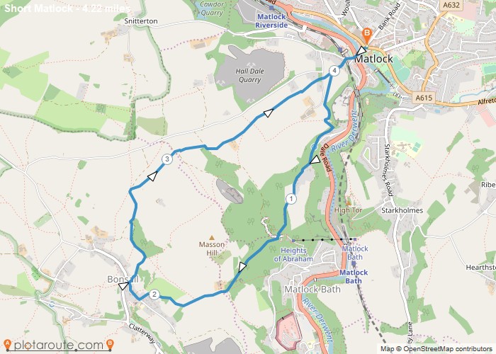
Distance: 4.4 Miles Time: 2 hours 31 minutes Elevation: 1680 Feet Terrain: Mixed Start Point: Matlock End Point: Matlock Short
