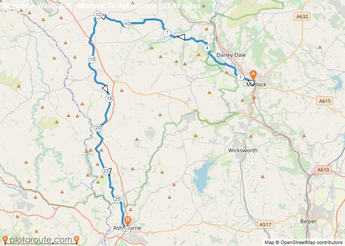
Distance: 27.1 Miles Time: 12 hours 36 minutes Elevation: 1594 Feet Terrain: Mixed Start Point: Matlock End Point: Matlock Matlock
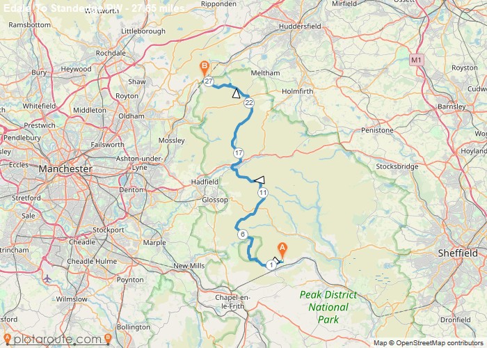
Distance: 27.7 Miles Time: 14 hours 14 minutes Elevation: 814 Feet Terrain: Off-Road Start Point: Grindsbrook Booth End Point: Grindsbrook
Distance: 27.3 Miles Time: 13 hours 00 minutes Elevation: 125 Feet Terrain: Mixed Start Point: Grindleford End Point: Grindleford A hilly A
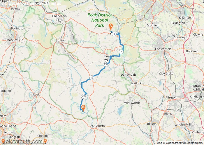
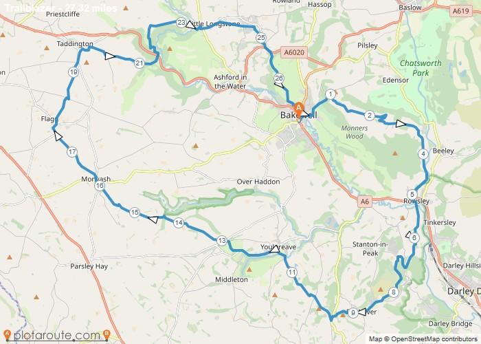
Distance: 27.7 Miles Time: 14 hours 24 minutes Elevation: 758 Feet Terrain: Mixed Start Point: Bakewell End Point: Bakewell walk
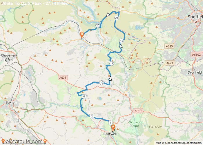
Distance: 27.3 Miles Time: 13 hours 31 minutes Elevation: 1302 Feet Terrain: Mixed Start Point: Bakewell End Point: Bakewell A hilly circular walking route,
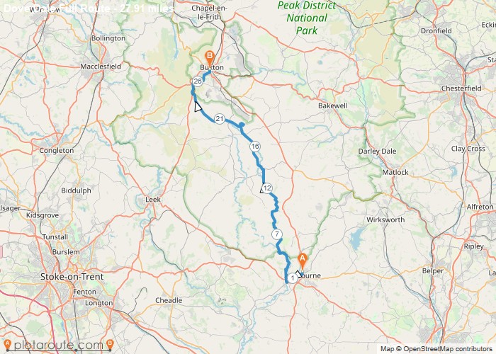
Distance: 27.9 Miles Time: 13 hours 37 minutes Elevation: 2267 Feet Terrain: Mixed Start Point: Ashbourne End Point: Ashbourne Ashbourne
Distance: 27.7 Miles Time: 12 hours 41 minutes Elevation: 75 Feet Terrain: Mixed Start Point: Hove End Point: Hove null
Distance: 27.9 Miles Time: 12 hours 04 minutes Elevation: 1404 Feet Terrain: Mixed Start Point: Groombridge End Point: Groombridge null
Favourite
Oxford to Banbury via Oxford Canal Oxfordshire walking trail. 26.6 mile circular walk starting from Oxford via Oxford Green Belt
Favourite
26.8 mile walk route starting from Windermere in Cumbria Distance: 26.8 milesTime: 4 hoursElevation: 3041 footTerrain: footpaths and tracks.OS Map:
