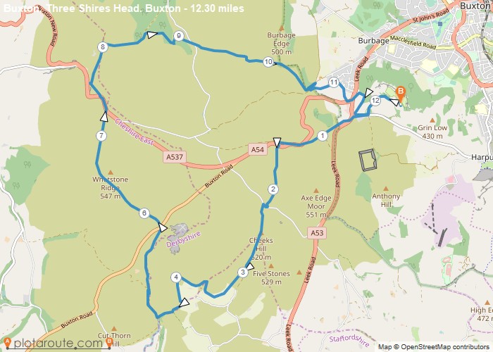
Distance: 12.3 Miles Time: 5 hours 41 minutes Elevation: 1732 Feet Terrain: Mixed Start Point: Sterndale Moor End Point: Sterndale
Favourite
Distance: 12.9 Miles Time: 5 hours 25 minutes Elevation: 305 Feet Terrain: Mixed Start Point: Spondon End Point: Spondon A relatively
Distance: 12.2 Miles Time: 5 hours 21 minutes Elevation: 1811 Feet Terrain: Mixed Start Point: Mickleover End Point: Mickleover A moderately
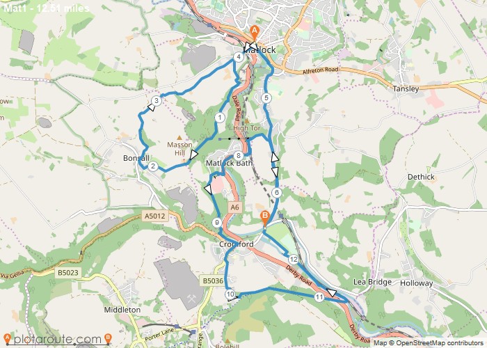
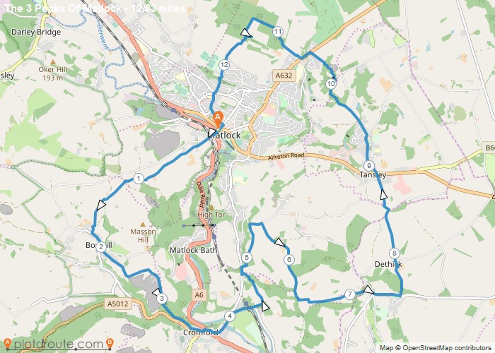
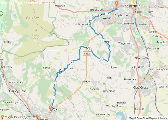
Distance: 12.5 Miles Time: 6 hours 38 minutes Elevation: 994 Feet Terrain: Mixed Start Point: Matlock End Point: Matlock A hilly A
Distance: 12.1 Miles Time: 6 hours 01 minutes Elevation: 1542 Feet Terrain: Mixed Start Point: Matlock End Point: Matlock A hilly A
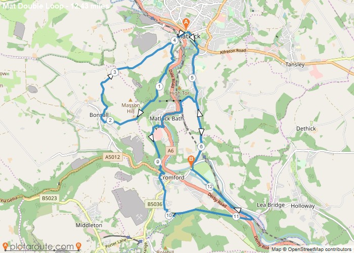
Distance: 12.4 Miles Time: 6 hours 36 minutes Elevation: 1417 Feet Terrain: Mixed Start Point: Matlock End Point: Matlock A hilly A
Distance: 12.8 Miles Time: 6 hours 49 minutes Elevation: 1083 Feet Terrain: Mixed Start Point: Matlock End Point: Matlock A hilly circular walking route,
Distance: 12.9 Miles Time: 5 hours 55 minutes Elevation: 630 Feet Terrain: Mixed Start Point: Matlock End Point: Matlock A moderately
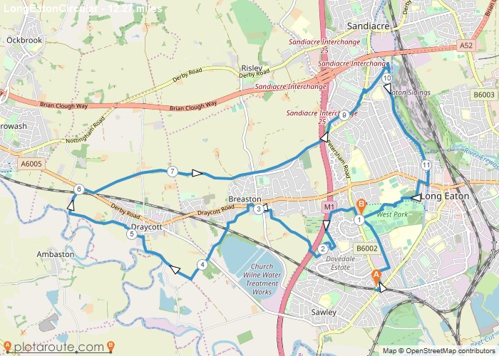
Distance: 12.3 Miles Time: 5 hours 00 minutes Elevation: 2598 Feet Terrain: Mixed Start Point: Long Eaton End Point: Long
Distance: 12.3 Miles Time: 6 hours 15 minutes Elevation: 9098 Feet Terrain: Off-Road Start Point: Ladmanlow End Point: Ladmanlow A hilly circular walking route,
