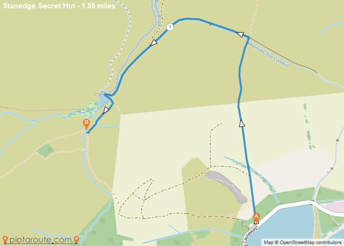
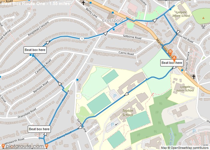
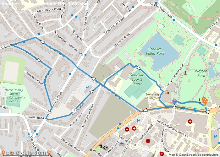
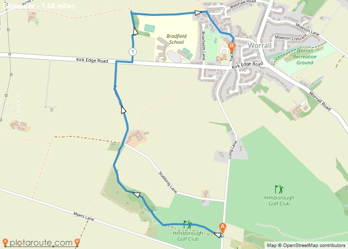
Distance: 1.5 Miles Time: 43 minutes Elevation: 627 Feet Terrain: Off-Road Start Point: Sheffield End Point: Sheffield A moderately hilly A to
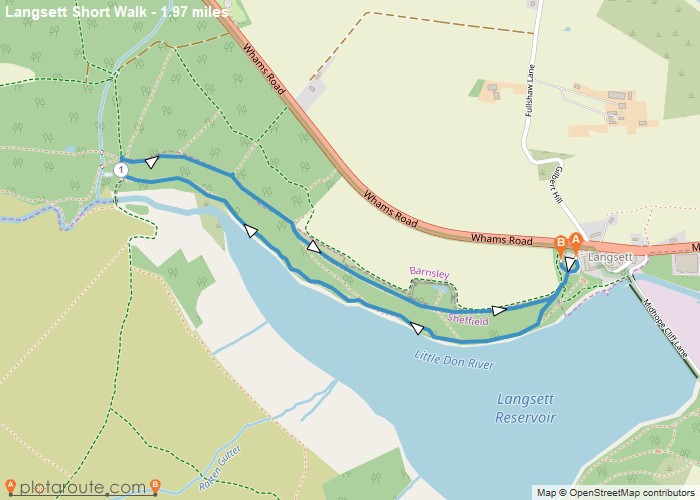
Distance: 2.0 Miles Time: 54 minutes Elevation: 151 Feet Terrain: Off-Road Start Point: Sheffield End Point: Sheffield Test route OS
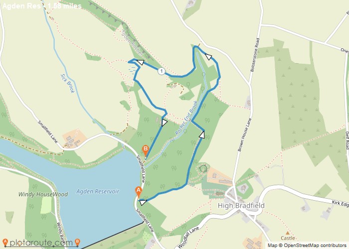
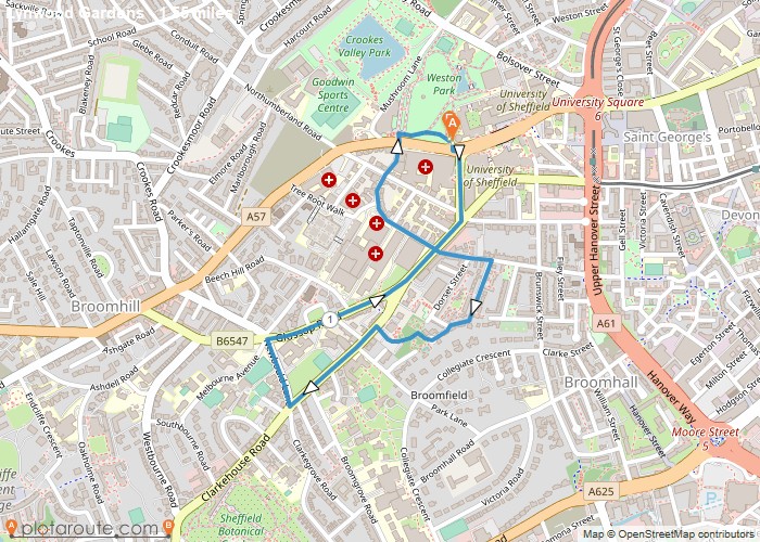
Distance: 1.6 Miles Time: 54 minutes Elevation: 499 Feet Terrain: Off-Road Start Point: Sheffield End Point: Sheffield A hilly A to B walking route
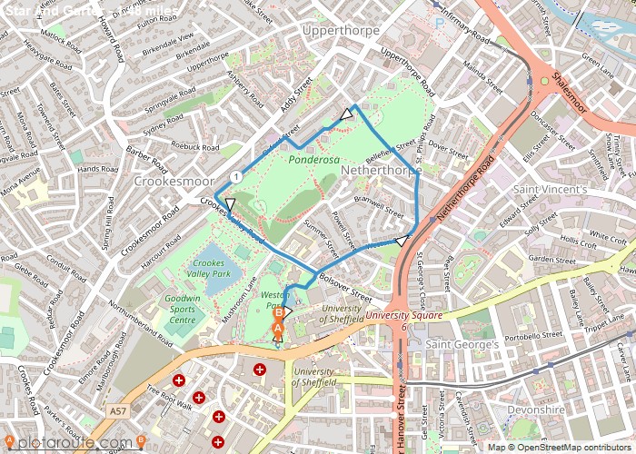
Distance: 1.5 Miles Time: 43 minutes Elevation: 43 Feet Terrain: Road Start Point: Sheffield End Point: Sheffield A hilly circular walking route, approximately 1.5 miles long.
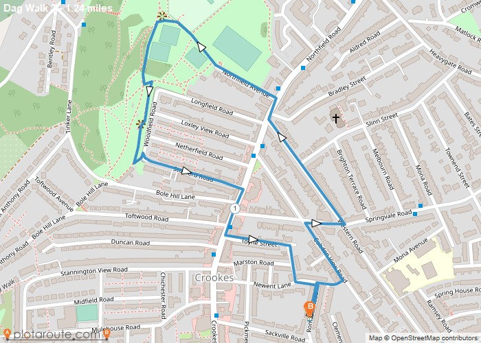
Distance: 1.2 Miles Time: 36 minutes Elevation: 974 Feet Terrain: Mixed Start Point: Sheffield End Point: Sheffield A hilly circular walking route, approximately 1.2 miles long.
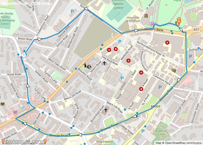
Distance: 1.5 Miles Time: 42 minutes Elevation: 5407 Feet Terrain: Mixed Start Point: Sheffield End Point: Sheffield A moderately hilly circular walking route, mostly
Distance: 1.5 Miles Time: 43 minutes Elevation: 1014 Feet Terrain: Road Start Point: Sheffield End Point: Sheffield A hilly circular walking route, approximately 1.5 miles long.
Distance: 1.6 Miles Time: 45 minutes Elevation: 1434 Feet Terrain: Road Start Point: Sheffield End Point: Sheffield A hilly circular walking route, approximately 1.6 miles long.
Distance: 1.5 Miles Time: 46 minutes Elevation: 1496 Feet Terrain: Road Start Point: Sheffield End Point: Sheffield A hilly circular walking route, approximately 1.5 miles long.
Distance: 1.7 Miles Time: 45 minutes Elevation: 1949 Feet Terrain: Mixed Start Point: Sheffield End Point: Sheffield A moderately hilly A to
