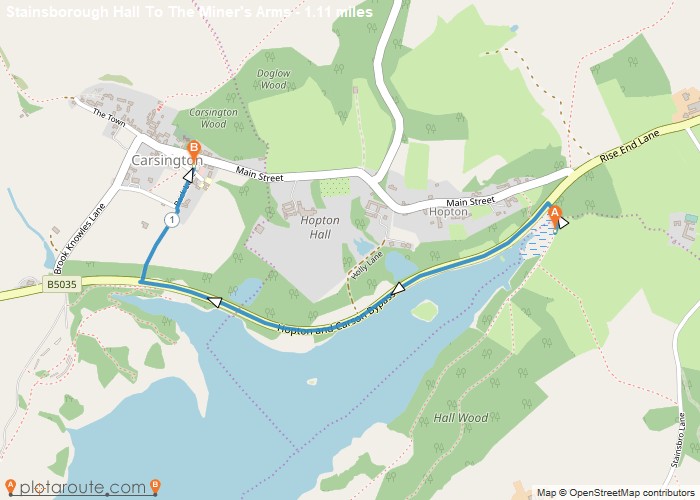
Distance: 1.1 Miles Time: 29 minutes Elevation: 16 Feet Terrain: Mixed Start Point: Carsington End Point: Carsington A moderately hilly A to
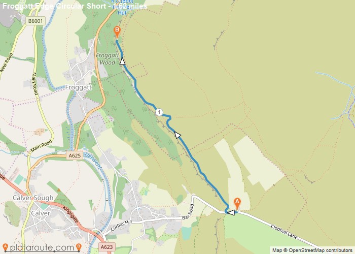
Distance: 1.6 Miles Time: 43 minutes Elevation: 666 Feet Terrain: Mixed Start Point: Calver End Point: Calver From Curbar Gap
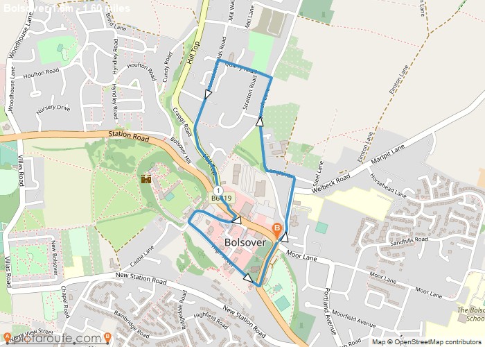
Distance: 1.6 Miles Time: 40 minutes Elevation: 1722 Feet Terrain: Road Start Point: Bolsover End Point: Bolsover A moderately hilly circular walking route, approximately 1.6
Favourite
Distance: 2.0 Miles Time: 1 hour 01 minutes Elevation: 1427 Feet Terrain: Mixed Start Point: Belper End Point: Belper A hilly circular walking route,
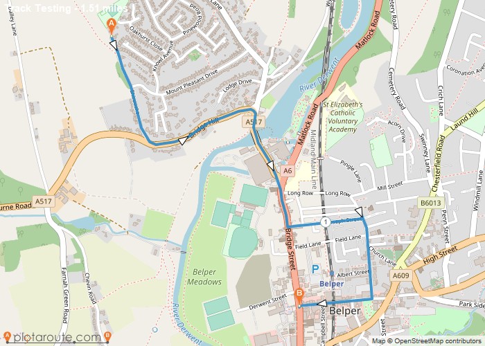
Distance: 1.5 Miles Time: 38 minutes Elevation: 312 Feet Terrain: Road Start Point: Belper End Point: Belper A moderately hilly A to
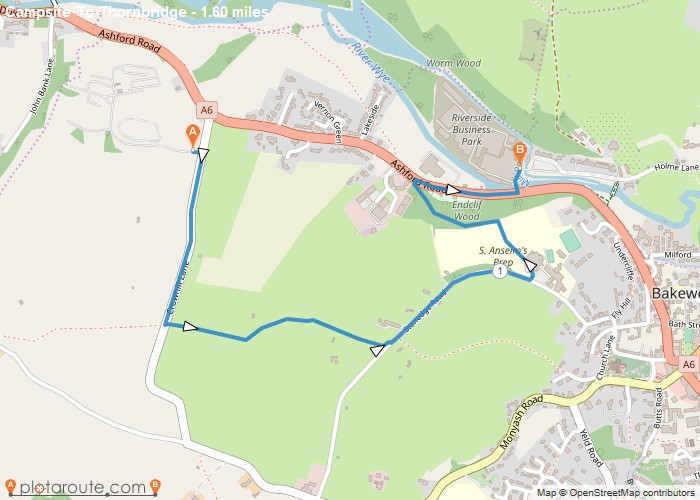
Distance: 1.6 Miles Time: 45 minutes Elevation: 46 Feet Terrain: Mixed Start Point: Bakewell End Point: Bakewell A hilly A to B walking route,
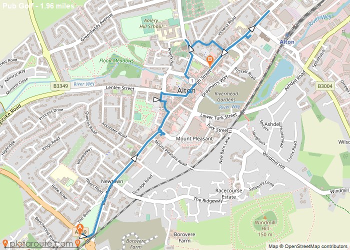
Distance: 2.0 Miles Time: 49 minutes Elevation: 1640 Feet Terrain: Mixed Start Point: Alton End Point: Alton A moderately hilly A to
Distance: 1.4 Miles Time: 38 minutes Elevation: 328 Feet Terrain: Off-Road Start Point: Whitehill End Point: Whitehill null OS Maps
Distance: 1.1 Miles Time: 31 minutes Elevation: 1125 Feet Terrain: Mixed Start Point: Westdean End Point: Westdean null OS Maps
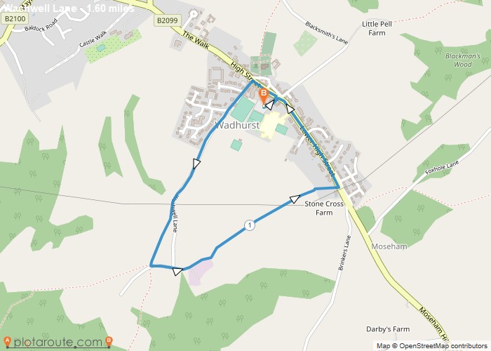
Distance: 1.6 Miles Time: 46 minutes Elevation: 377 Feet Terrain: Mixed Start Point: Wadhurst End Point: Wadhurst null OS Maps
