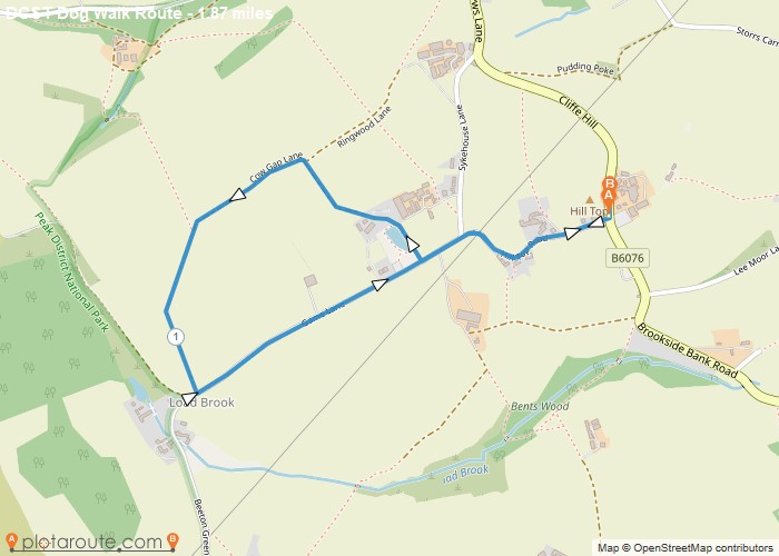
Distance: 1.9 Miles Time: 52 minutes Elevation: 597 Feet Terrain: Mixed Start Point: Hill Top End Point: Hill Top Not
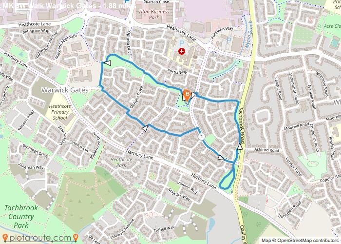
Distance: 1.9 Miles Time: 46 minutes Elevation: 240 Feet Terrain: Mixed Start Point: Heathcote End Point: Heathcote A relatively flat circular walking route, approximately 1.9
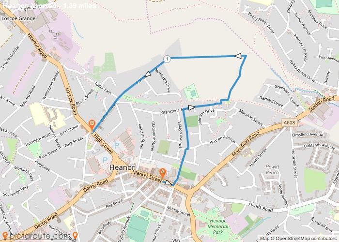
Distance: 1.4 Miles Time: 36 minutes Elevation: 476 Feet Terrain: Mixed Start Point: Heanor End Point: Heanor A moderately hilly A to
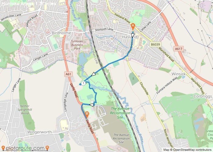
Distance: 1.8 Miles Time: 48 minutes Elevation: 794 Feet Terrain: Mixed Start Point: Hasland End Point: Hasland A moderately hilly A to
Favourite
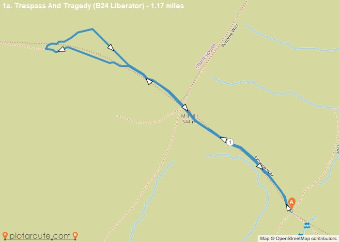
Distance: 1.9 Miles Time: 58 minutes Elevation: 3796 Feet Terrain: Mixed Start Point: Hadfield End Point: Hadfield A hilly A to B walking route,
Favourite
Distance: 1.0 Miles Time: 30 minutes Elevation: 98 Feet Terrain: Off-Road Start Point: Hadfield End Point: Hadfield 1 mile route
Favourite
Distance: 1.1 Miles Time: 38 minutes Elevation: 276 Feet Terrain: Mixed Start Point: Grindleford End Point: Grindleford A hilly A to B walking route,
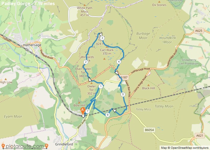
Distance: 1.8 Miles Time: 56 minutes Elevation: 184 Feet Terrain: Off-Road Start Point: Grindleford End Point: Grindleford A hilly circular walking route, approximately 1.8 miles long.
Distance: 1.2 Miles Time: 36 minutes Elevation: 3579 Feet Terrain: Off-Road Start Point: Glossop End Point: Glossop A hilly circular walking route off-road, approximately 1.2
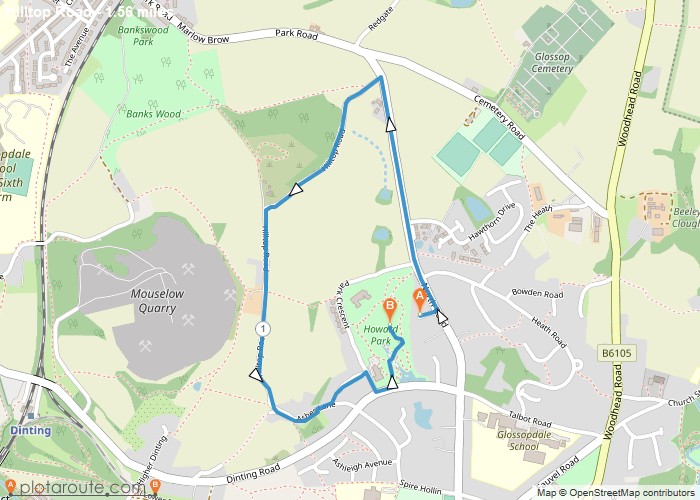
Distance: 1.6 Miles Time: 46 minutes Elevation: 4403 Feet Terrain: Mixed Start Point: Glossop End Point: Glossop A hilly circular walking route, approximately 1.6 miles long.
