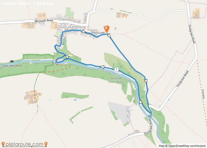
Distance: 1.9 Miles Time: 57 minutes Elevation: 1306 Feet Terrain: Mixed Start Point: Over Haddon End Point: Over Haddon A hilly circular walking route,
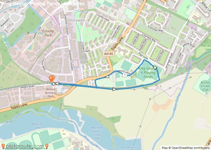
Distance: 1.5 Miles Time: 37 minutes Elevation: 49 Feet Terrain: Off-Road Start Point: Northwood End Point: Northwood A relatively flat circular walking route, approximately 1.5
Favourite
Distance: 1.2 Miles Time: 31 minutes Elevation: 1647 Feet Terrain: Mixed Start Point: Mickleover End Point: Mickleover A moderately hilly A to
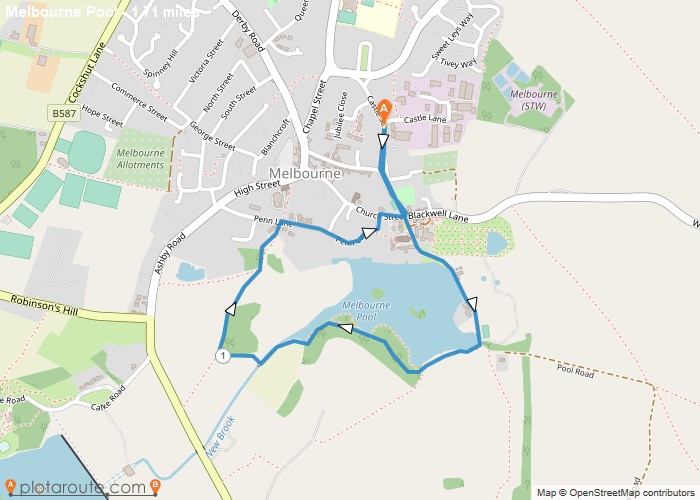
Distance: 1.7 Miles Time: 45 minutes Elevation: 1680 Feet Terrain: Road Start Point: Melbourne End Point: Melbourne A moderately hilly circular walking route, approximately 1.7
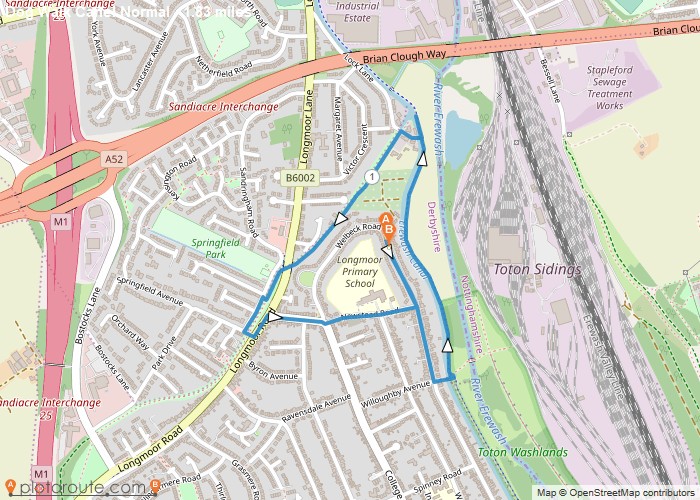
Distance: 1.8 Miles Time: 45 minutes Elevation: 285 Feet Terrain: Mixed Start Point: Long Eaton End Point: Long Eaton A relatively
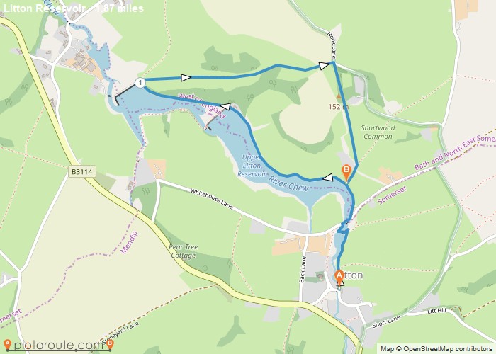
Distance: 1.9 Miles Time: 54 minutes Elevation: 384 Feet Terrain: Off-Road Start Point: Litton End Point: Litton A hilly A to B walking route,
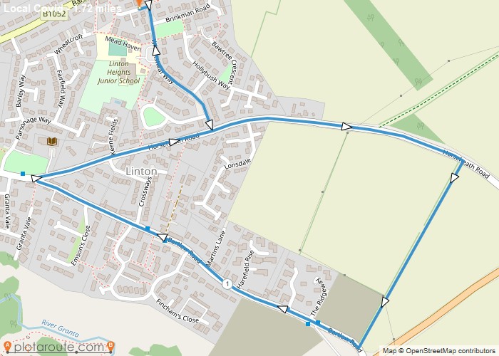
Distance: 1.7 Miles Time: 44 minutes Elevation: 591 Feet Terrain: Mixed Start Point: Linton End Point: Linton Very quick excercise
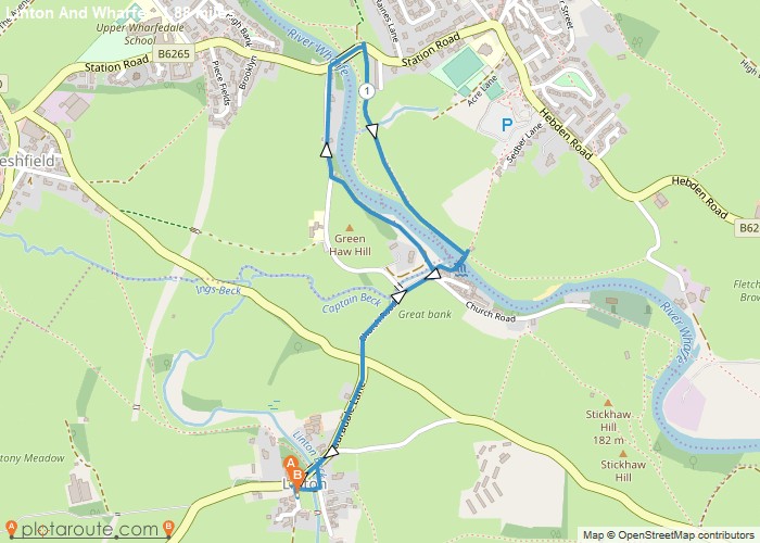
Distance: 1.9 Miles Time: 52 minutes Elevation: 197 Feet Terrain: Mixed Start Point: Linton End Point: Linton Walk before lunch
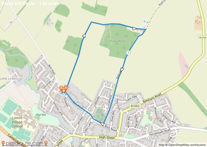
Distance: 1.8 Miles Time: 52 minutes Elevation: 761 Feet Terrain: Off-Road Start Point: Linton End Point: Linton A hilly circular walking route, approximately 1.8 miles long.
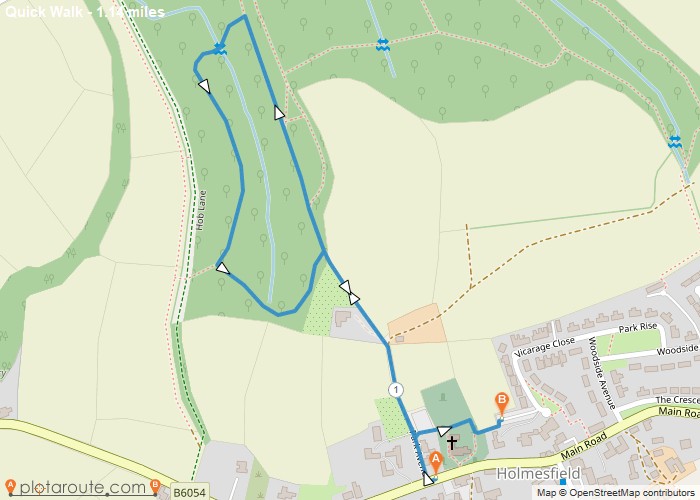
Distance: 1.1 Miles Time: 33 minutes Elevation: 249 Feet Terrain: Off-Road Start Point: Holmesfield End Point: Holmesfield A hilly circular walking route, approximately 1.1 miles long.
