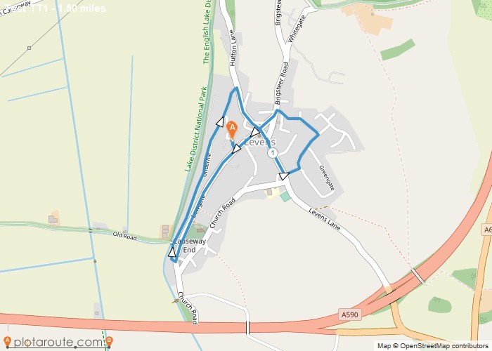
Distance: 1.5 Miles Time: 41 minutes Elevation: 213 Feet Terrain: Road Start Point: Levens End Point: Levens test Tomtom trail
Distance: 2.0 Miles Time: 55 minutes Elevation: 863 Feet Terrain: Off-Road Start Point: Lanercost End Point: Lanercost A hilly circular walking route, approximately 2.0 miles long.
Distance: 1.6 Miles Time: 43 minutes Elevation: 600 Feet Terrain: Mixed Start Point: Lane End End Point: Lane End null
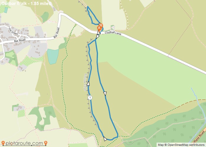
Distance: 1.8 Miles Time: 53 minutes Elevation: 89 Feet Terrain: Mixed Start Point: Lane End End Point: Lane End Walk
Favourite
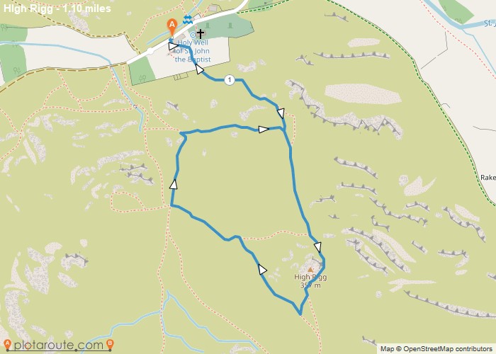
Distance: 1.1 Miles Time: 30 minutes Elevation: 144 Feet Terrain: Mixed Start Point: Lane End End Point: Lane End walk
Distance: 1.1 Miles Time: 47 minutes Elevation: 607 Feet Terrain: Off-Road Start Point: Keswick End Point: Keswick A hilly circular walking route, approximately 1.1 miles long.
Distance: 1.3 Miles Time: 1 hour 10 minutes Elevation: 2395 Feet Terrain: Mixed Start Point: Keswick End Point: Keswick A hilly A
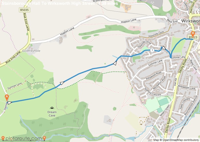
Distance: 1.4 Miles Time: 37 minutes Elevation: 105 Feet Terrain: Mixed Start Point: Wirksworth End Point: Wirksworth A moderately hilly A to
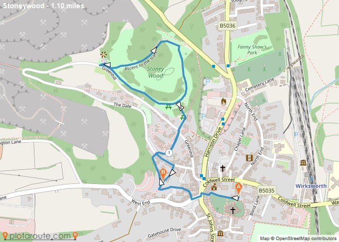
Distance: 1.1 Miles Time: 36 minutes Elevation: 102 Feet Terrain: Mixed Start Point: Wirksworth End Point: Wirksworth A hilly A to B walking route,
Distance: 1.8 Miles Time: 51 minutes Elevation: 131 Feet Terrain: Off-Road Start Point: Wigley End Point: Wigley A moderately hilly circular walking route, approximately 1.8
