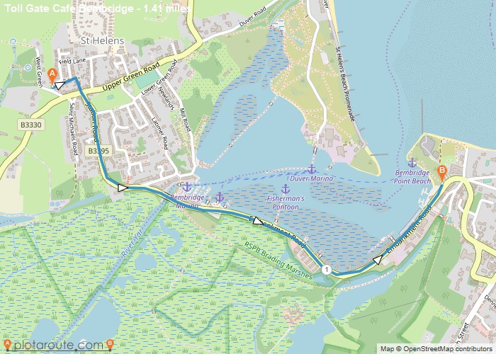
Distance: 1.4 Miles Time: 34 minutes Elevation: 2694 Feet Terrain: Road Start Point: St Helens End Point: St Helens A moderately
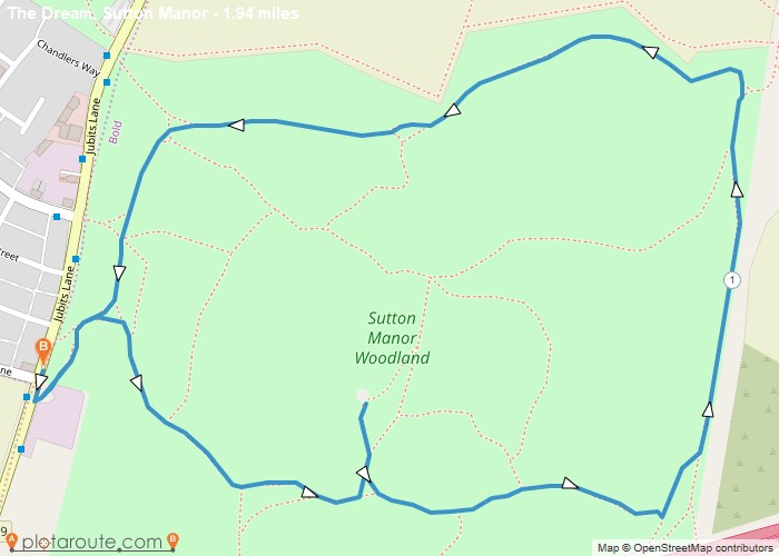
Distance: 1.9 Miles Time: 50 minutes Elevation: 531 Feet Terrain: Road Start Point: St Helens End Point: St Helens Park
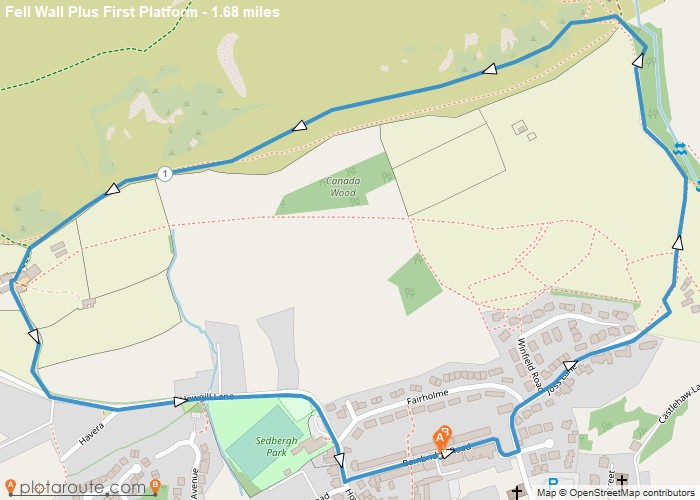
Distance: 1.7 Miles Time: 56 minutes Elevation: 764 Feet Terrain: Off-Road Start Point: Sedbergh End Point: Sedbergh A hilly circular walking route, approximately 1.7 miles long.
Distance: 1.5 Miles Time: 40 minutes Elevation: 2356 Feet Terrain: Mixed Start Point: Seatoller End Point: Seatoller A moderately hilly circular walking route, partly
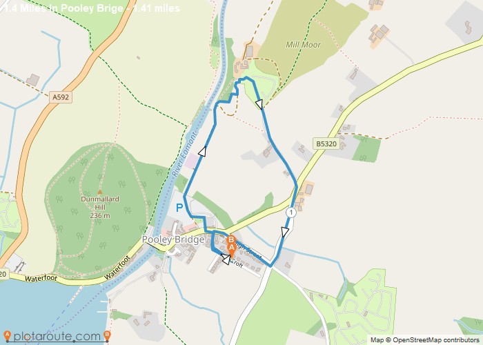
Distance: 1.4 Miles Time: 38 minutes Elevation: 1631 Feet Terrain: Mixed Start Point: Pooley Bridge End Point: Pooley Bridge A moderately
Distance: 1.8 Miles Time: 1 hour 15 minutes Elevation: 105 Feet Terrain: Off-Road Start Point: Penrith End Point: Penrith A hilly circular walking route,
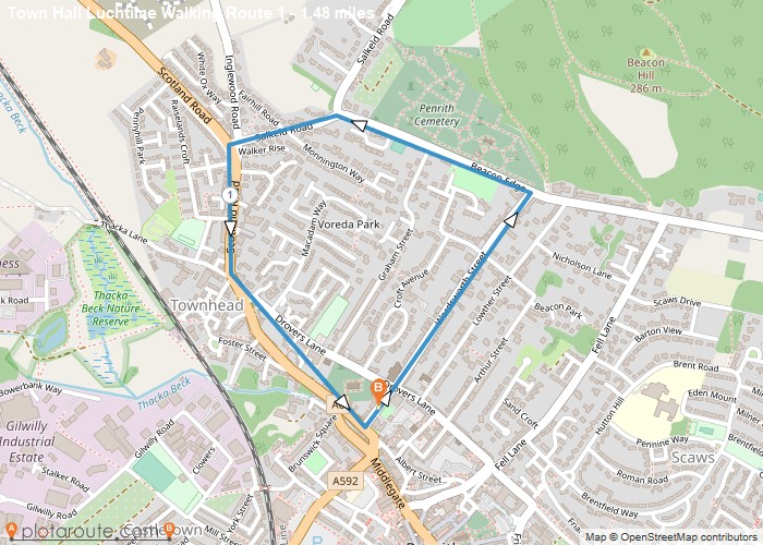
Distance: 1.5 Miles Time: 43 minutes Elevation: 30 Feet Terrain: Road Start Point: Penrith End Point: Penrith Allow approximately 31
Distance: 1.3 Miles Time: 51 minutes Elevation: 305 Feet Terrain: Mixed Start Point: Penrith End Point: Penrith A hilly circular walking route, approximately 1.3 miles long.
Distance: 1.8 Miles Time: 1 hour 07 minutes Elevation: 938 Feet Terrain: Off-Road Start Point: Penrith End Point: Penrith 43459
