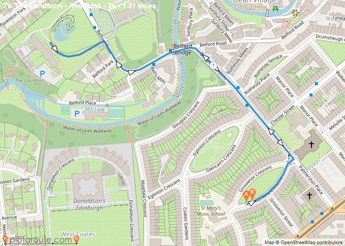
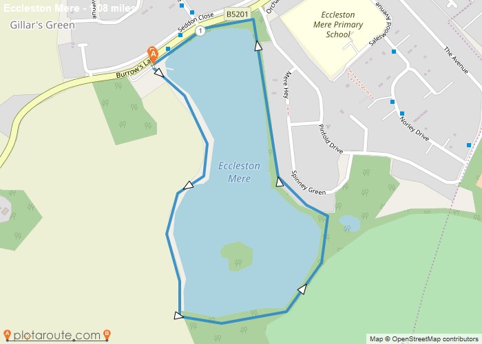
Distance: 1.3 Miles Time: 38 minutes Elevation: 1644 Feet Terrain: Road Start Point: West End End Point: West End A hilly circular walking route,
Distance: 1.7 Miles Time: 43 minutes Elevation: 33 Feet Terrain: Road Start Point: Wellington End Point: Wellington A moderately hilly circular walking route, approximately 1.7
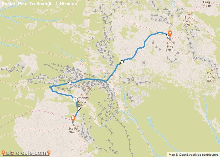
Distance: 1.1 Miles Time: 52 minutes Elevation: 144 Feet Terrain: Mixed Start Point: Wasdale Head End Point: Wasdale Head A hilly A
Distance: 1.2 Miles Time: 40 minutes Elevation: 965 Feet Terrain: Mixed Start Point: Ulverston End Point: Ulverston A hilly circular walking route, approximately 1.2 miles long.
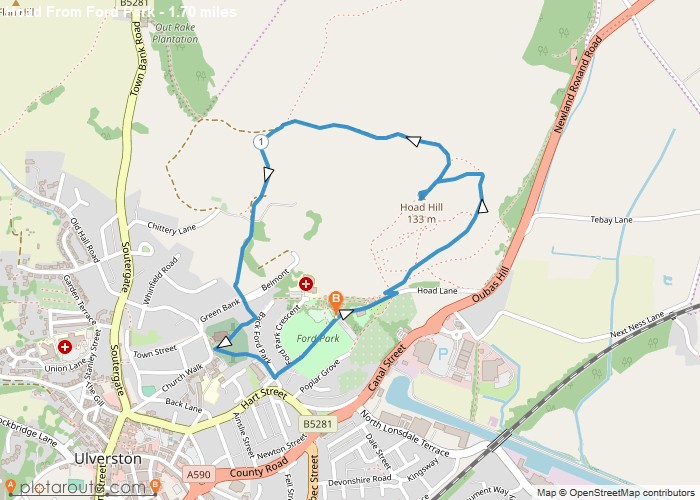
Distance: 1.7 Miles Time: 55 minutes Elevation: 23 Feet Terrain: Off-Road Start Point: Ulverston End Point: Ulverston A hilly circular walking route, approximately 1.7 miles long.
Favourite
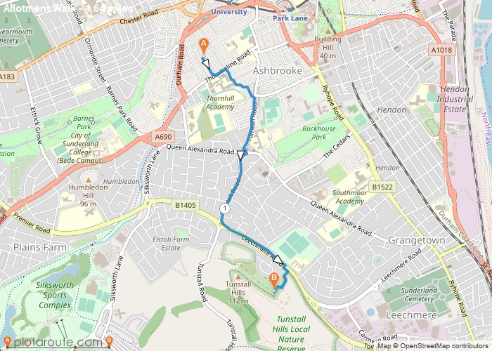
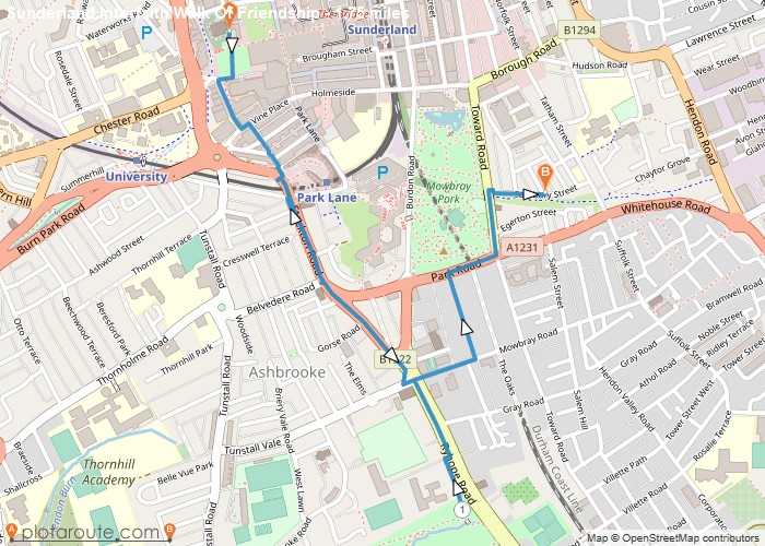
Distance: 1.9 Miles Time: 47 minutes Elevation: 66 Feet Terrain: Road Start Point: Sunderland End Point: Sunderland A moderately hilly circular walking route, approximately 1.9
Distance: 1.6 Miles Time: 45 minutes Elevation: 413 Feet Terrain: Mixed Start Point: Sunderland End Point: Sunderland A moderately hilly A to
Distance: 1.8 Miles Time: 44 minutes Elevation: 472 Feet Terrain: Road Start Point: Sunderland End Point: Sunderland A moderately hilly A to
Distance: 1.8 Miles Time: 46 minutes Elevation: 512 Feet Terrain: Mixed Start Point: St Helens End Point: St Helens A moderately
Distance: 1.1 Miles Time: 26 minutes Elevation: 1404 Feet Terrain: Off-Road Start Point: St Helens End Point: St Helens A relatively
