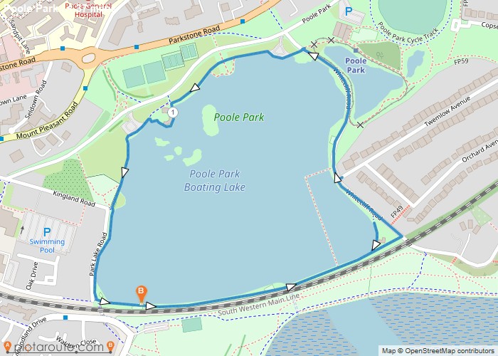
Distance: 1.4 Miles Time: 33 minutes Elevation: 59 Feet Terrain: Mixed Start Point: Poole End Point: Poole A relatively flat circular walking route, approximately 1.4
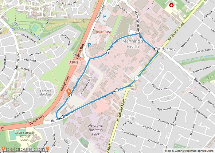
Distance: 1.7 Miles Time: 44 minutes Elevation: 1860 Feet Terrain: Road Start Point: Poole End Point: Poole A moderately hilly circular walking route, approximately 1.7
Favourite
Distance: 1.3 Miles Time: 35 minutes Elevation: 1165 Feet Terrain: Off-Road Start Point: Piddletrenthide End Point: Piddletrenthide A hilly circular walking route, approximately 1.3 miles long.
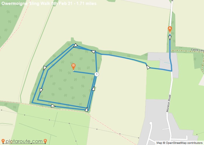
Distance: 1.7 Miles Time: 43 minutes Elevation: 659 Feet Terrain: Mixed Start Point: Owermoigne End Point: Owermoigne A moderately hilly A to
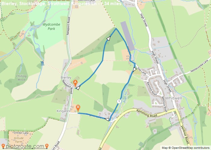
Distance: 1.3 Miles Time: 36 minutes Elevation: 259 Feet Terrain: Mixed Start Point: Niton End Point: Niton From Kingates top
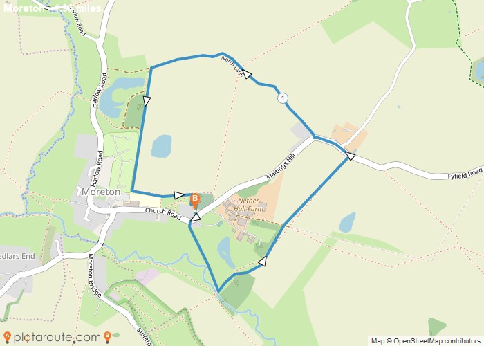
Distance: 2.0 Miles Time: 51 minutes Elevation: 46 Feet Terrain: Mixed Start Point: Moreton End Point: Moreton A moderately hilly circular walking route, approximately 2.0
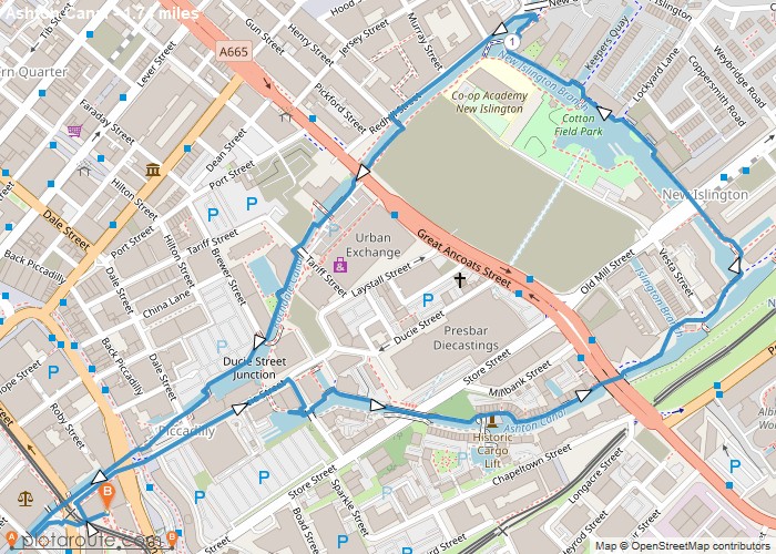
Distance: 1.7 Miles Time: 43 minutes Elevation: 1959 Feet Terrain: Road Start Point: Manchester End Point: Manchester null OS Maps
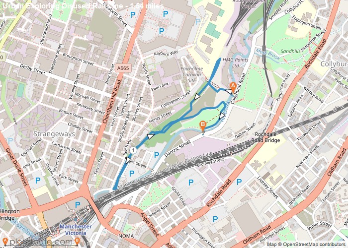
Distance: 1.5 Miles Time: 40 minutes Elevation: 988 Feet Terrain: Mixed Start Point: Manchester End Point: Manchester null OS Maps
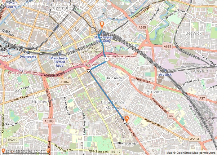
Distance: 1.4 Miles Time: 34 minutes Elevation: 988 Feet Terrain: Road Start Point: Manchester End Point: Manchester null OS Maps
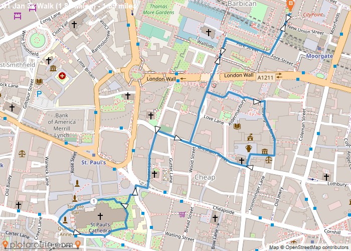
Distance: 1.9 Miles Time: 46 minutes Elevation: 246 Feet Terrain: Road Start Point: London End Point: London null OS Maps
