Profile
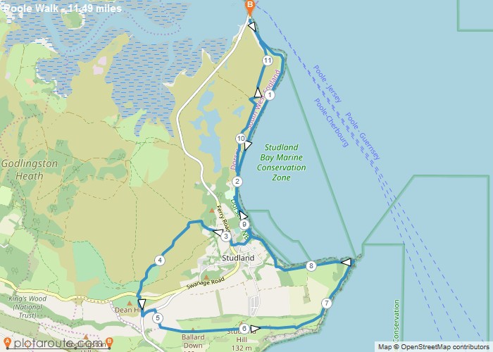
11.5 mile circular walking route starting from South Haven Point via Studland Bay, Studland, Dean Hill, Ballard Down, Studland Hill, Ballard Point, Old Harry Rock and Studland Bay in Dorset.
Distance: 11.5 miles
Time: 5 hours
Elevation: 954 foot
Terrain: footpaths, tracks and quiet roads.
Map: OS Explore OL15 – Purbeck, South Dorset, Poole, Dorchester, Weymouth & Swanage
Start Point: Studland Ferry Car Park.
End Point: Studland Ferry Car Park.

Route map for Poole Walk by Wayne Williams on plotaroute.com
Map
Loading...
No Records Found
Sorry, no records were found. Please adjust your search criteria and try again.
Maps failed to load
Sorry, unable to load the Maps API.

