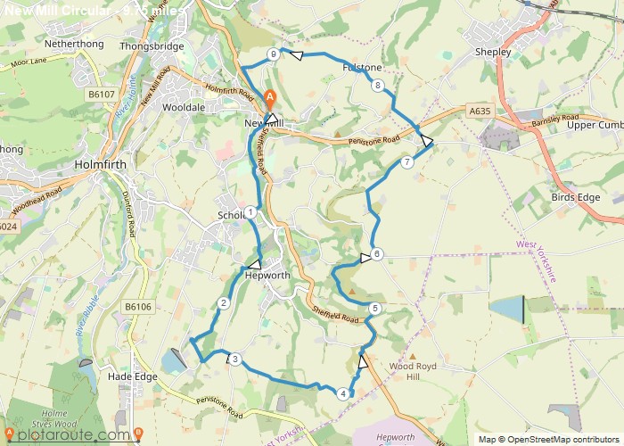
Distance: 9.7 Miles
Time: 4 hours 54 minutes
Elevation: 577 Feet
Terrain: Mixed
Start Point: New Mill
End Point: New Mill
The walk starts from the centre of New Mill and goes through woodland to Scholes, and then to Hepworth. Emerging onto the road after the church you turn right then left to follow the stream, through woodland until open land. We cross some fields and take some seldom used tracks. A few stiles on the route in various condition.After walking on the A616 for a couple of hundred metres we take a track up Meal Hill. The walk continues up the hill to Low Common and follows the road to Intake and Snowgate Head. Crossing the A635 you pass through Fulstone, and make your way back to pick up the Hills and Hamlets track back down to New Mill. Some muddy slippery paths today and some good uphill pulls with hopefully, extensive views as the reward.
OS Maps Required
OS Explorer Map (102, 103, 104, 105, 106, 107, 109 and 111) Cornwall Set
Map of Trail

Sorry, no records were found. Please adjust your search criteria and try again.
Sorry, unable to load the Maps API.

