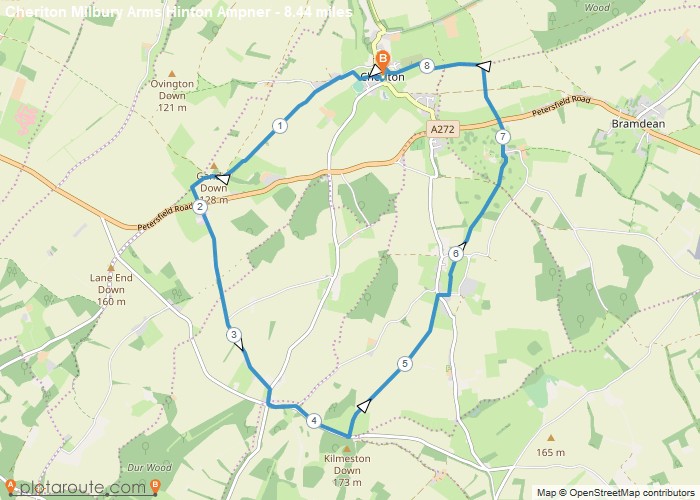
Distance: 8.4 Miles
Time: 3 hours 50 minutes
Elevation: 2359 Feet
Terrain: Mixed
Start Point: Cheriton
End Point: Cheriton
Gently undulating route starting in the village of Cheriton by the River Itchen, up onto South Downs with pub stop for lunch and tea rooms at NT Hinton Ampner. Walked on Mon 3 Aug 2015
OS Maps Required
OS Explorer Map (102, 103, 104, 105, 106, 107, 109 and 111) Cornwall Set
Map of Trail

Loading...
No Records Found
Sorry, no records were found. Please adjust your search criteria and try again.
Maps failed to load
Sorry, unable to load the Maps API.

