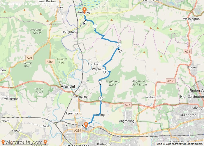
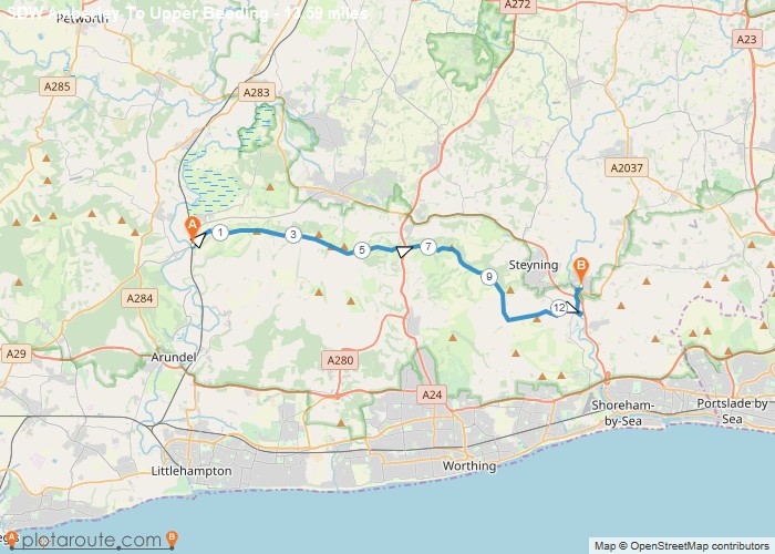
Distance: 9.4 Miles Time: 4 hours 23 minutes Elevation: 1640 Feet Terrain: Mixed Start Point: Amberley End Point: Amberley null
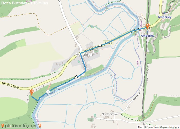
Distance: 1.2 Miles Time: 31 minutes Elevation: 144 Feet Terrain: Off-Road Start Point: Amberley End Point: Amberley null OS Maps
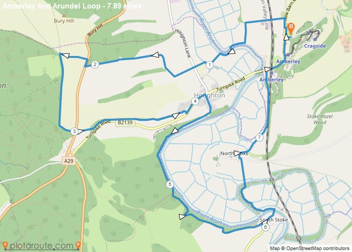
Distance: 7.9 Miles Time: 3 hours 42 minutes Elevation: 771 Feet Terrain: Off-Road Start Point: Amberley End Point: Amberley null
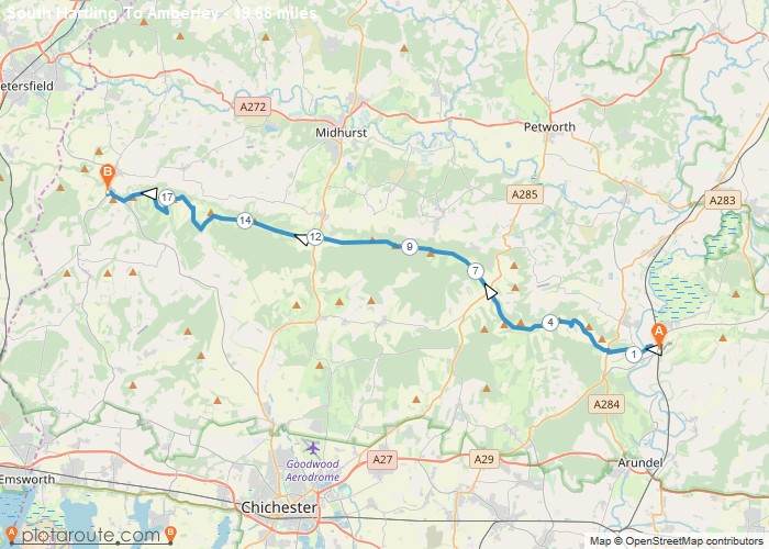
Distance: 19.7 Miles Time: 9 hours 38 minutes Elevation: 2451 Feet Terrain: Mixed Start Point: Amberley End Point: Amberley null
Distance: 13.6 Miles Time: 6 hours 19 minutes Elevation: 1280 Feet Terrain: Mixed Start Point: Amberley End Point: Amberley null
Distance: 22.0 Miles Time: 10 hours 35 minutes Elevation: 62 Feet Terrain: Mixed Start Point: Whitehill End Point: Whitehill null
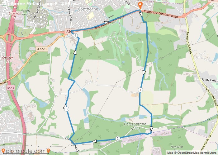
Distance: 4.9 Miles Time: 2 hours 08 minutes Elevation: 1614 Feet Terrain: Mixed Start Point: Copthorne End Point: Copthorne A moderately
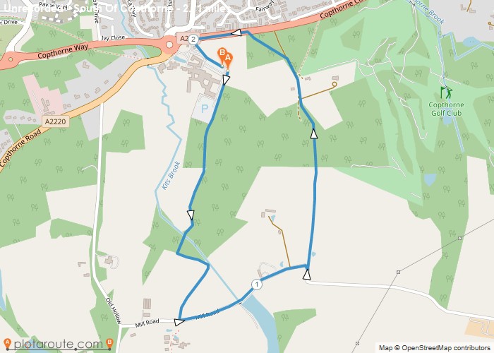
Distance: 2.1 Miles Time: 54 minutes Elevation: 10 Feet Terrain: Mixed Start Point: Copthorne End Point: Copthorne A moderately hilly circular walking route, approximately 2.1
Favourite
6.3 mile circular walking route starting from the north of Chidham near the Bosham Inn and walking around the Chidham
Favourite
5 mile circular walking route starting in Chidham in West Sussex and walking around the Chidham southern coastline. Distance: 5
