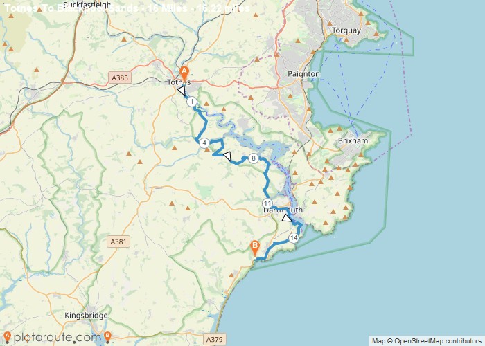
Distance: 16.2 Miles Time: 8 hours 20 minutes Elevation: 194 Feet Terrain: Road Start Point: Totnes End Point: Totnes A hilly A
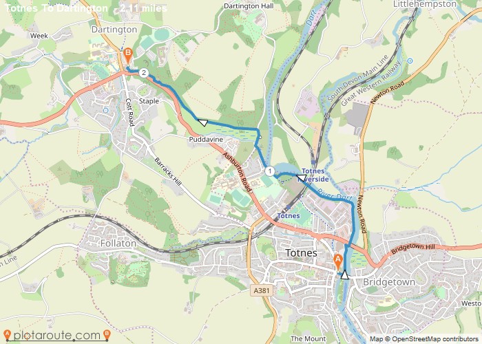
Distance: 2.1 Miles Time: 53 minutes Elevation: 640 Feet Terrain: Mixed Start Point: Totnes End Point: Totnes A moderately hilly A to
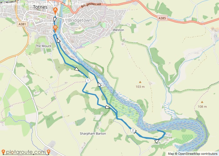
Distance: 4.7 Miles Time: 2 hours 18 minutes Elevation: 1388 Feet Terrain: Mixed Start Point: Totnes End Point: Totnes A
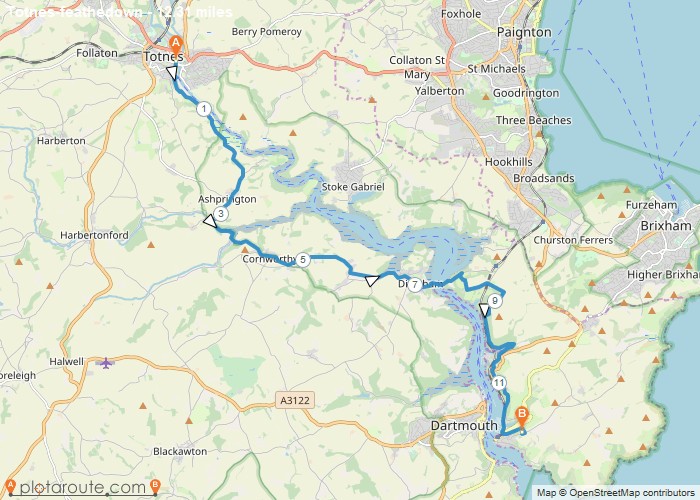
Distance: 12.3 Miles Time: 6 hours 33 minutes Elevation: 3255 Feet Terrain: Mixed Start Point: Totnes End Point: Totnes A hilly A
Distance: 1.2 Miles Time: 28 minutes Elevation: 39 Feet Terrain: Mixed Start Point: Totnes End Point: Totnes null OS Maps
Distance: 4.5 Miles Time: 2 hours 14 minutes Elevation: 397 Feet Terrain: Off-Road Start Point: Totnes End Point: Totnes A hilly circular walking route,
Favourite
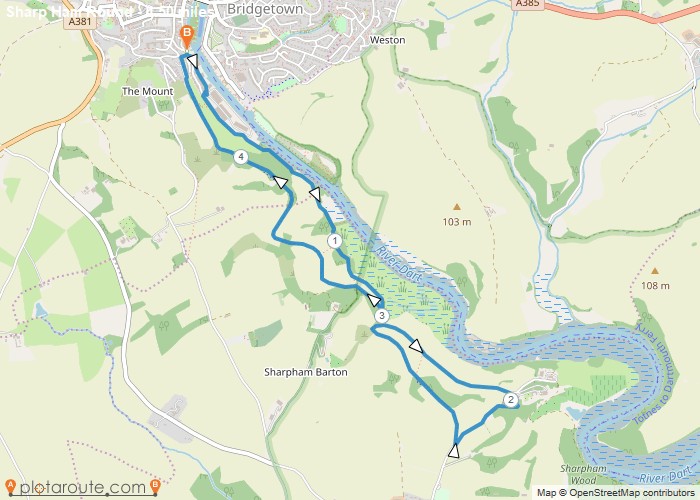
6.5 mile circular walking route from Totnes in Devon heading south along the river dart and back again. Distance: 6.5
