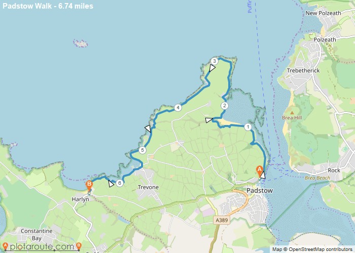
Distance: 6.7 Miles Time: 3 hours 11 minutes Elevation: 489 Feet Terrain: Off-Road Start Point: Padstow End Point: Padstow A hilly A
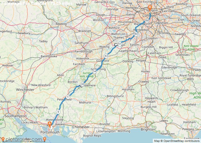
Distance: 250.2 Miles Time: 5 hours 09 minutes Elevation: 1348 Feet Terrain: Off-Road Start Point: Padstow End Point: Padstow null
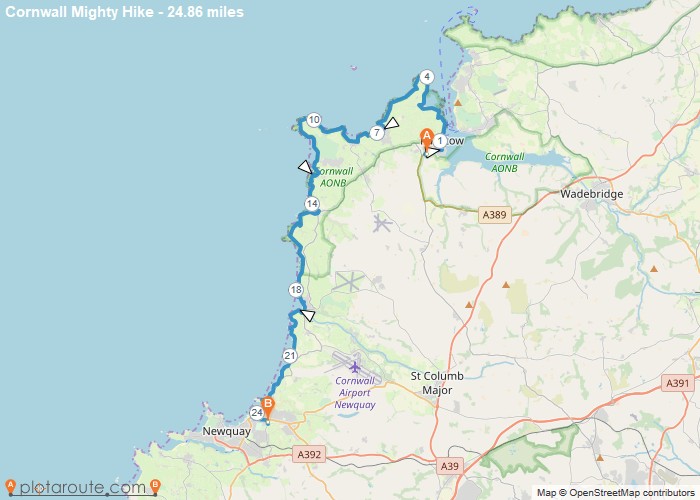
Distance: 24.9 Miles Time: 12 hours 16 minutes Elevation: 322 Feet Terrain: Mixed Start Point: Padstow End Point: Padstow A hilly A
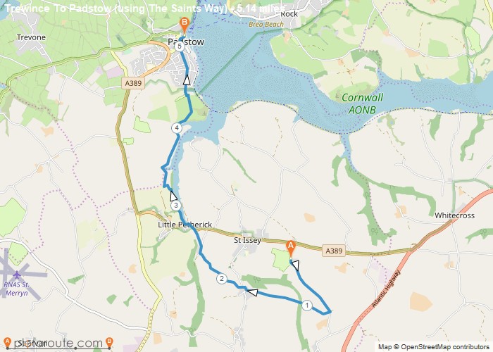
Distance: 5.1 Miles Time: 2 hours 28 minutes Elevation: 322 Feet Terrain: Off-Road Start Point: Padstow End Point: Padstow A hilly A
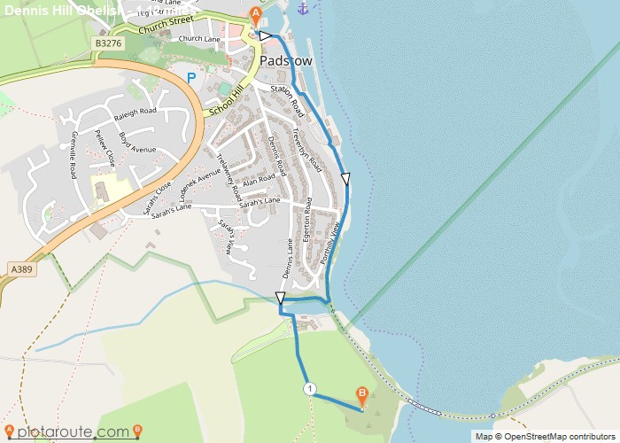
Distance: 1.1 Miles Time: 33 minutes Elevation: 381 Feet Terrain: Mixed Start Point: Padstow End Point: Padstow A hilly A to B walking route,
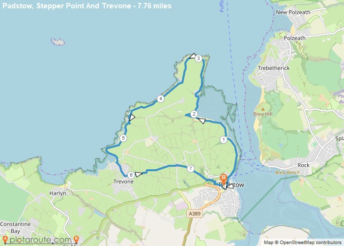
Distance: 7.8 Miles Time: 3 hours 44 minutes Elevation: 128 Feet Terrain: Mixed Start Point: Padstow End Point: Padstow A hilly circular walking route,
Favourite
Distance: 27.6 Miles Time: 13 hours 33 minutes Elevation: 217 Feet Terrain: Mixed Start Point: Padstow End Point: Padstow A hilly A
Favourite
Distance: 26.4 Miles Time: 13 hours 10 minutes Elevation: 1276 Feet Terrain: Mixed Start Point: Padstow End Point: Padstow A hilly A
Favourite
6.6 mile walk from Trebawith Strand to Port Isaac via the South West coastal path in Cornwall. Distance: 6.6 miles
Favourite
4.8 mile walk from Boscastle to Tintagel via the South West coastal path in Cornwall. Distance: 4.8 miles Time: 1.5
