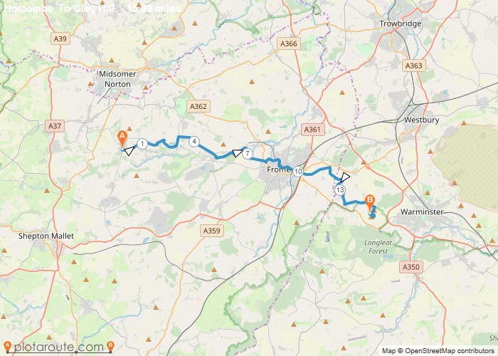
Distance: 15.9 Miles Time: 7 hours 21 minutes Elevation: 781 Feet Terrain: Mixed Start Point: Holcombe End Point: Holcombe A moderately
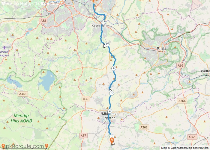
Distance: 17.9 Miles Time: 8 hours 18 minutes Elevation: 381 Feet Terrain: Mixed Start Point: Holcombe End Point: Holcombe A moderately
Distance: 7.5 Miles Time: 3 hours 44 minutes Elevation: 1283 Feet Terrain: Mixed Start Point: Holcombe End Point: Holcombe A hilly circular walking route,
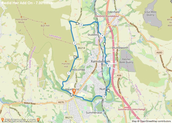
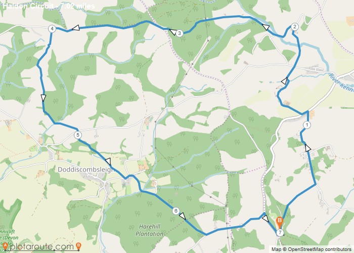
Distance: 7.0 Miles Time: 3 hours 23 minutes Elevation: 2572 Feet Terrain: Mixed Start Point: Holcombe End Point: Holcombe A hilly circular walking route,
Distance: 7.0 Miles Time: 3 hours 40 minutes Elevation: 732 Feet Terrain: Mixed Start Point: Higher Ashton End Point: Higher
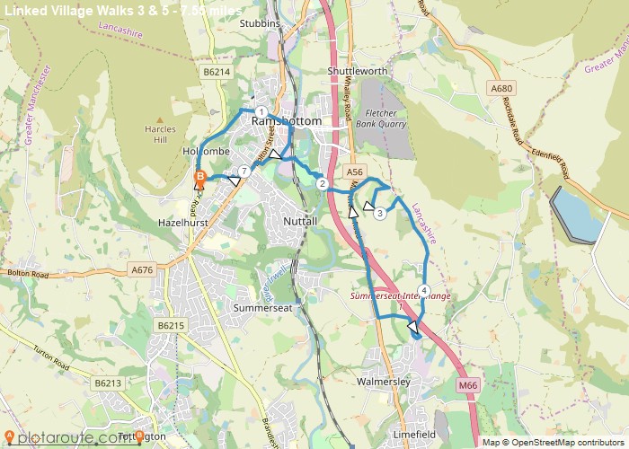
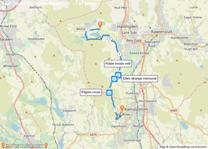
Distance: 7.6 Miles Time: 3 hours 45 minutes Elevation: 200 Feet Terrain: Mixed Start Point: Holcombe End Point: Holcombe A hilly A
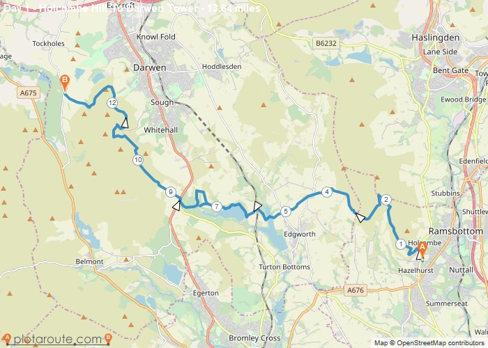
Distance: 13.6 Miles Time: 6 hours 56 minutes Elevation: 135 Feet Terrain: Mixed Start Point: Holcombe End Point: Holcombe A hilly A
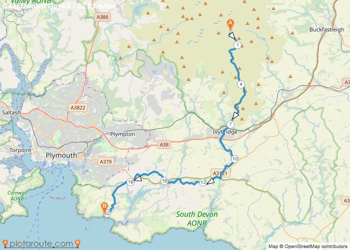
Distance: 22.2 Miles Time: 10 hours 07 minutes Elevation: 400 Feet Terrain: Mixed Start Point: Hexworthy End Point: Hexworthy A moderately
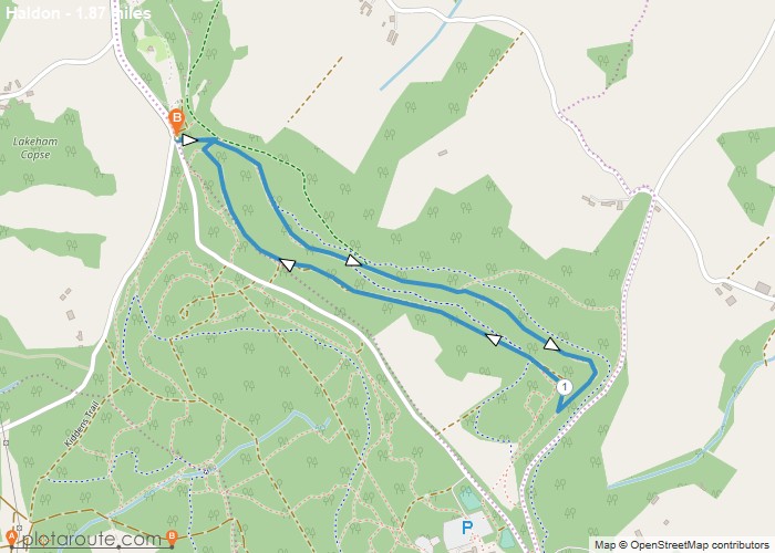
Distance: 1.9 Miles Time: 51 minutes Elevation: 1516 Feet Terrain: Off-Road Start Point: Higher Ashton End Point: Higher Ashton A moderately
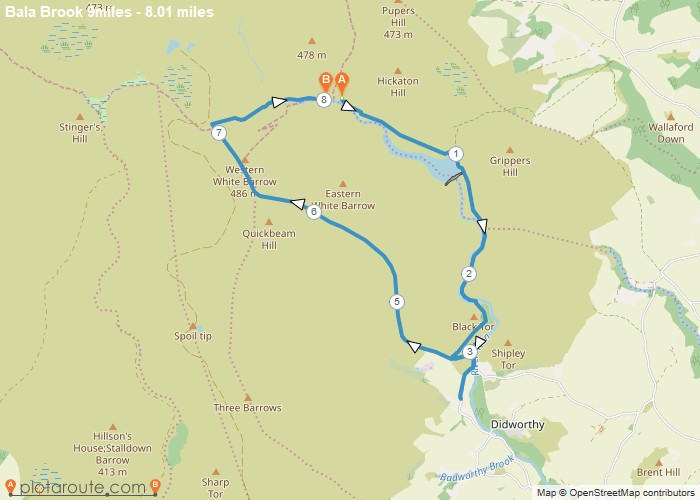
Distance: 8.0 Miles Time: 3 hours 54 minutes Elevation: 2034 Feet Terrain: Off-Road Start Point: Hexworthy End Point: Hexworthy bala
