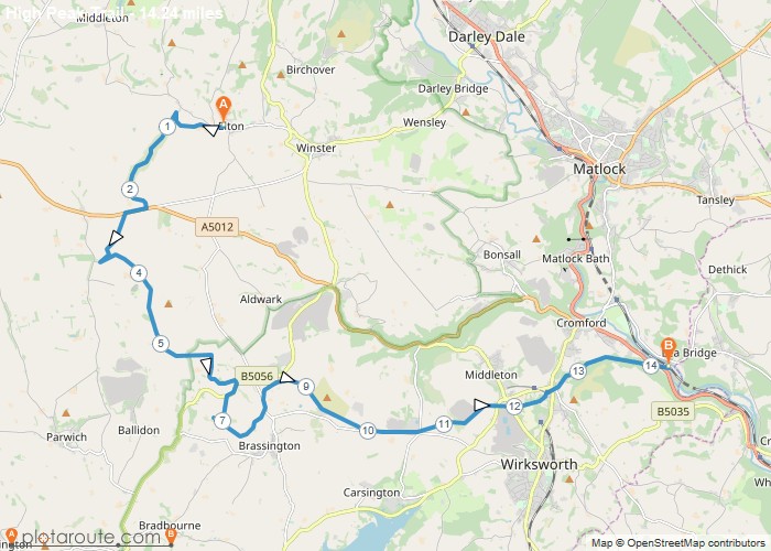
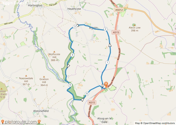
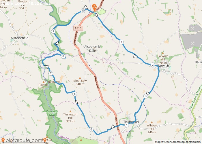
Distance: 14.2 Miles Time: 6 hours 43 minutes Elevation: 161 Feet Terrain: Mixed Start Point: Matlock End Point: Matlock A hilly A
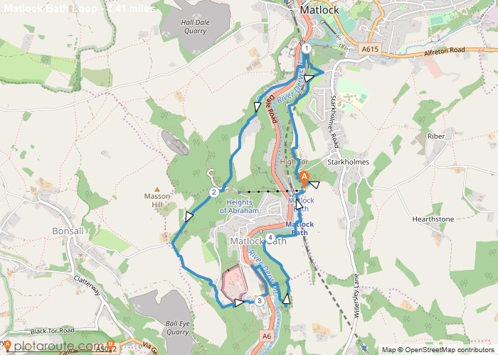
Distance: 4.4 Miles Time: 2 hours 32 minutes Elevation: 102 Feet Terrain: Mixed Start Point: Matlock End Point: Matlock Matlock
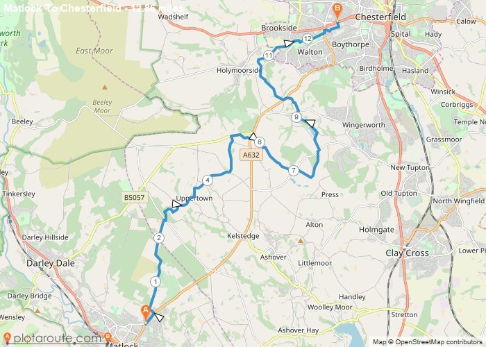
Distance: 12.9 Miles Time: 5 hours 55 minutes Elevation: 630 Feet Terrain: Mixed Start Point: Matlock End Point: Matlock A moderately
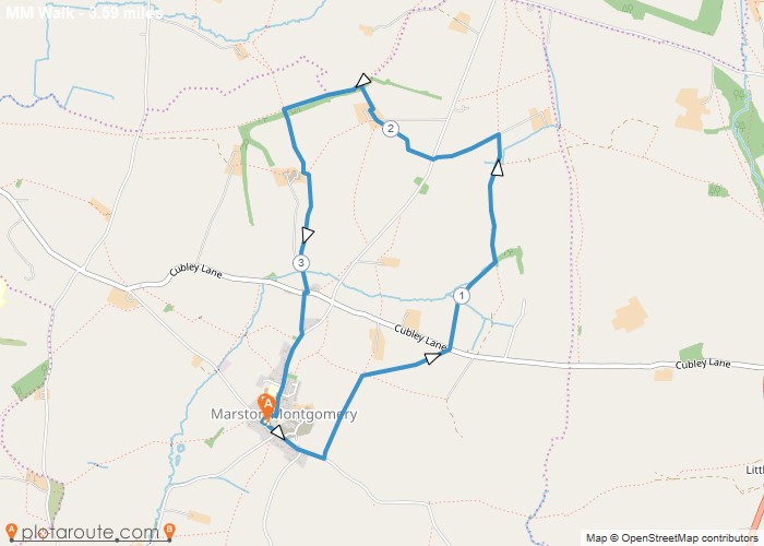
Distance: 3.6 Miles Time: 1 hour 32 minutes Elevation: 400 Feet Terrain: Mixed Start Point: Marston Montgomery End Point: Marston
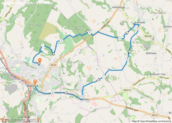
Distance: 9.6 Miles Time: 4 hours 39 minutes Elevation: 2717 Feet Terrain: Mixed Start Point: Matlock End Point: Matlock A hilly A
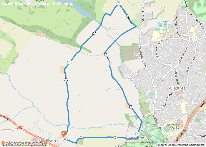
Distance: 5.0 Miles Time: 2 hours 09 minutes Elevation: 344 Feet Terrain: Off-Road Start Point: Mackworth End Point: Mackworth A moderately
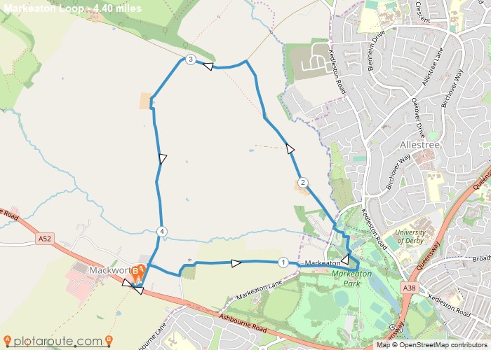
Distance: 4.4 Miles Time: 1 hour 55 minutes Elevation: 341 Feet Terrain: Mixed Start Point: Mackworth End Point: Mackworth A moderately
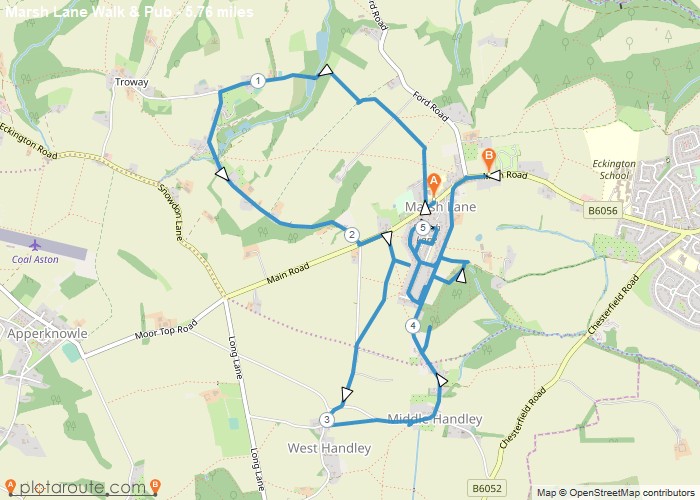
Distance: 5.8 Miles Time: 2 hours 41 minutes Elevation: 56 Feet Terrain: Mixed Start Point: Marsh Lane End Point: Marsh
Distance: 6.7 Miles Time: 3 hours 06 minutes Elevation: 59 Feet Terrain: Mixed Start Point: Longcliffe End Point: Longcliffe A moderately
Distance: 10.3 Miles Time: 5 hours 21 minutes Elevation: 243 Feet Terrain: Mixed Start Point: Longcliffe End Point: Longcliffe A hilly circular walking route,
