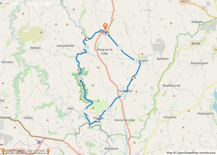
Distance: 12.6 Miles Time: 6 hours 05 minutes Elevation: 285 Feet Terrain: Mixed Start Point: Ashbourne End Point: Ashbourne A hilly circular walking route,
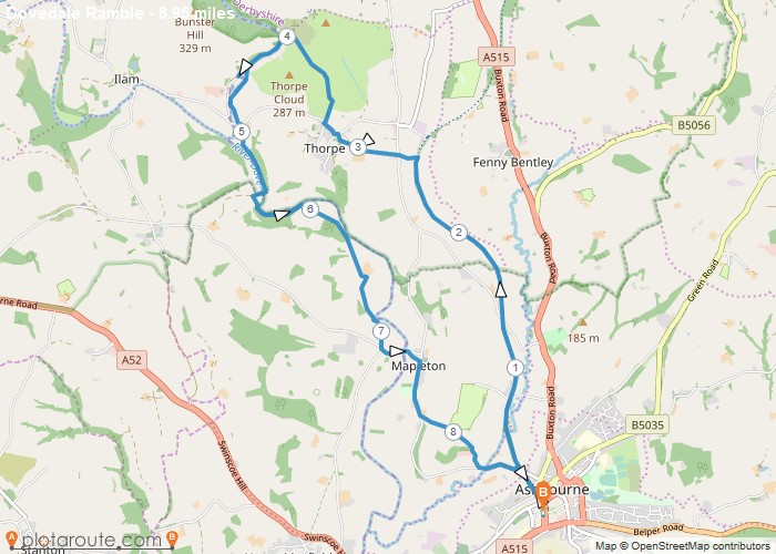
Distance: 9.0 Miles Time: 4 hours 12 minutes Elevation: 115 Feet Terrain: Mixed Start Point: Ashbourne End Point: Ashbourne A moderately
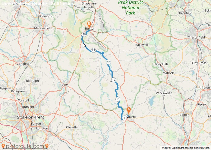
Distance: 27.9 Miles Time: 13 hours 37 minutes Elevation: 2267 Feet Terrain: Mixed Start Point: Ashbourne End Point: Ashbourne Ashbourne
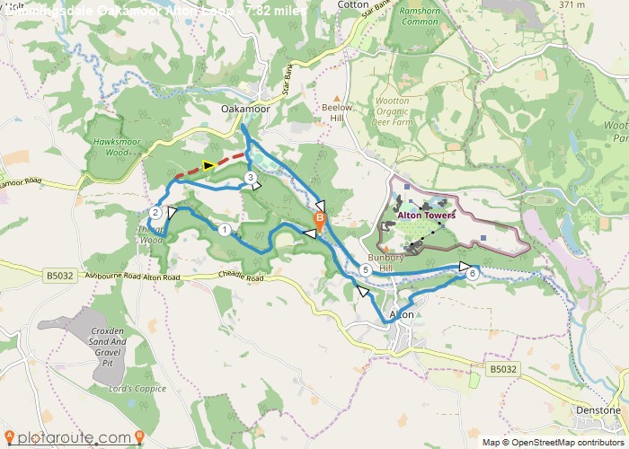
Distance: 7.8 Miles Time: 3 hours 44 minutes Elevation: 203 Feet Terrain: Mixed Start Point: Alton End Point: Alton A hilly circular walking route,
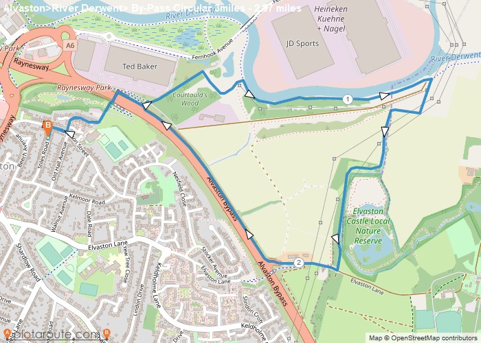
Distance: 3.0 Miles Time: 1 hour 15 minutes Elevation: 246 Feet Terrain: Mixed Start Point: Alvaston End Point: Alvaston A relatively
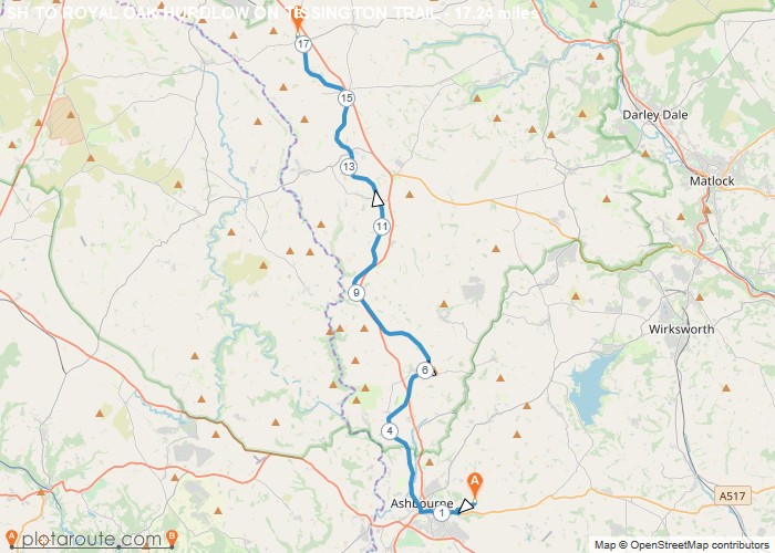
Distance: 17.2 Miles Time: 8 hours 04 minutes Elevation: 902 Feet Terrain: Mixed Start Point: Ashbourne End Point: Ashbourne A moderately
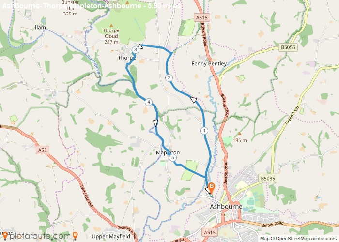
Distance: 5.9 Miles Time: 2 hours 44 minutes Elevation: 650 Feet Terrain: Off-Road Start Point: Ashbourne End Point: Ashbourne A moderately
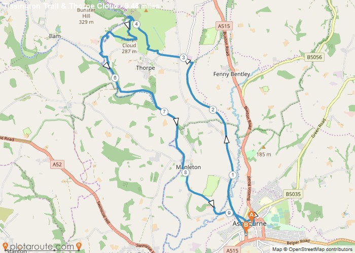
Distance: 9.5 Miles Time: 4 hours 37 minutes Elevation: 161 Feet Terrain: Mixed Start Point: Ashbourne End Point: Ashbourne A hilly A
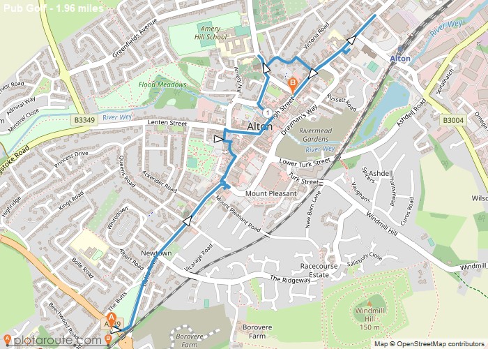
Distance: 2.0 Miles Time: 49 minutes Elevation: 1640 Feet Terrain: Mixed Start Point: Alton End Point: Alton A moderately hilly A to
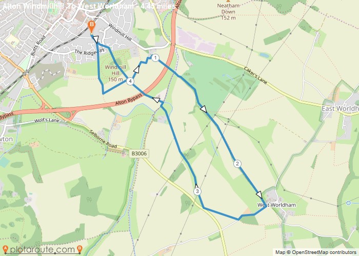
Distance: 4.5 Miles Time: 2 hours 03 minutes Elevation: 361 Feet Terrain: Mixed Start Point: Alton End Point: Alton A moderately
