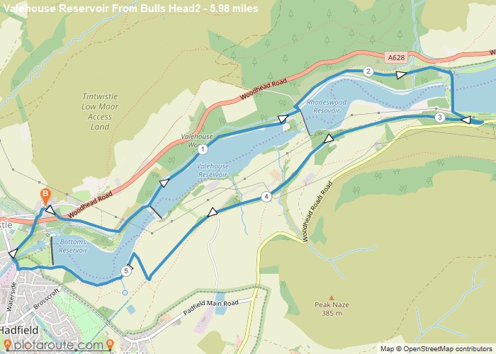
Distance: 6.0 Miles Time: 2 hours 44 minutes Elevation: 1837 Feet Terrain: Mixed Start Point: Tintwistle End Point: Tintwistle A moderately
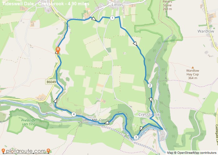
Distance: 4.9 Miles Time: 2 hours 27 minutes Elevation: 207 Feet Terrain: Mixed Start Point: Tideswell End Point: Tideswell A hilly circular walking route,
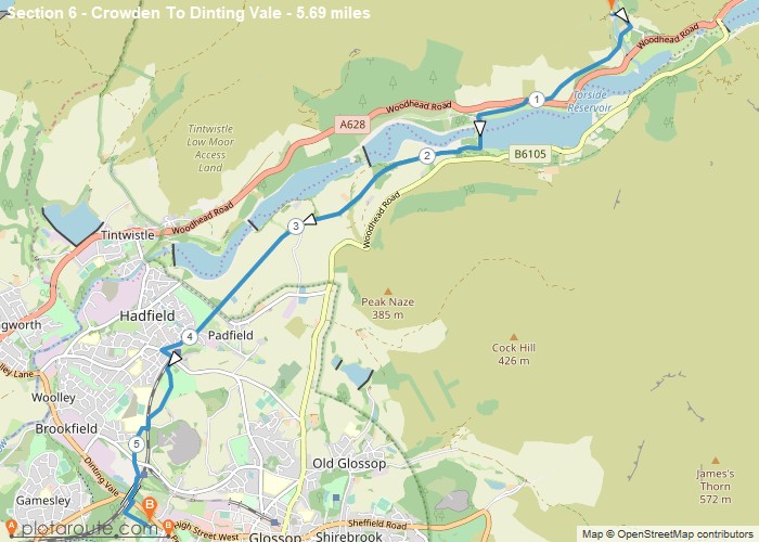
Distance: 5.7 Miles Time: 2 hours 33 minutes Elevation: 1171 Feet Terrain: Mixed Start Point: Tintwistle End Point: Tintwistle A moderately
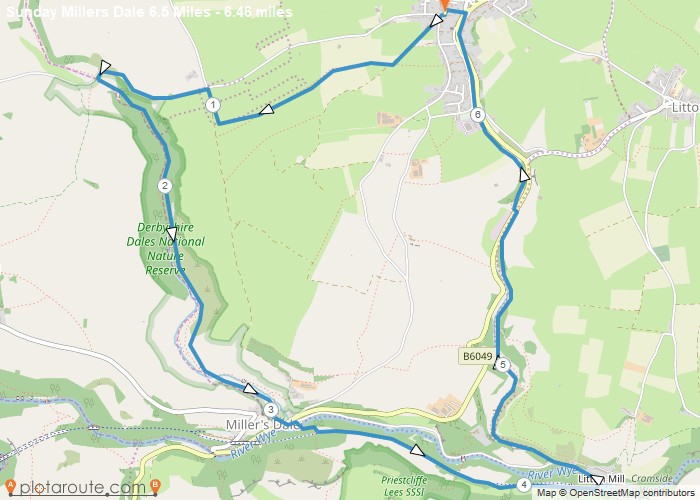
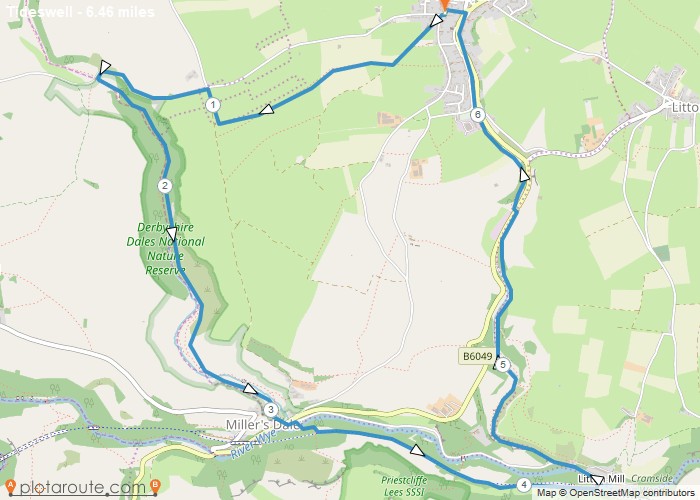
Distance: 6.5 Miles Time: 3 hours 13 minutes Elevation: 3691 Feet Terrain: Off-Road Start Point: Tideswell End Point: Tideswell A hilly circular walking route,
Distance: 6.5 Miles Time: 3 hours 13 minutes Elevation: 2674 Feet Terrain: Off-Road Start Point: Tideswell End Point: Tideswell A hilly circular walking route,
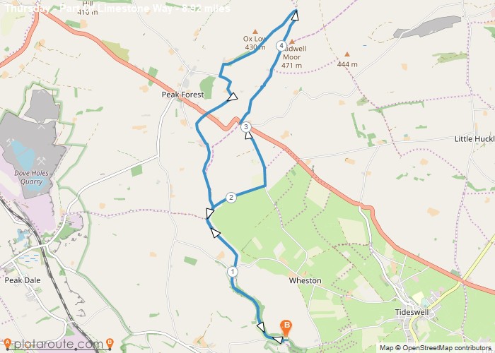
Distance: 8.9 Miles Time: 4 hours 10 minutes Elevation: 417 Feet Terrain: Mixed Start Point: Tideswell End Point: Tideswell A moderately
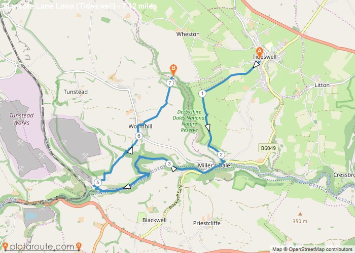
Distance: 7.1 Miles Time: 3 hours 31 minutes Elevation: 535 Feet Terrain: Off-Road Start Point: Tideswell End Point: Tideswell A hilly A
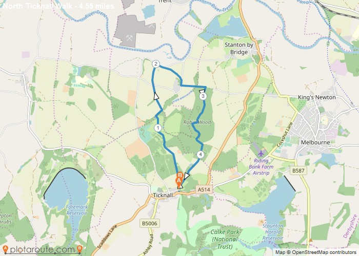
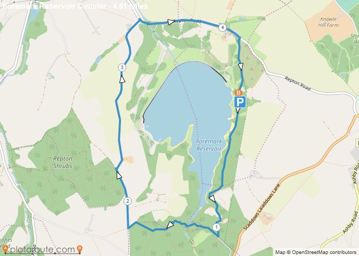
Distance: 4.6 Miles Time: 2 hours 07 minutes Elevation: 125 Feet Terrain: Off-Road Start Point: Ticknall End Point: Ticknall Walk
Favourite
Distance: 1.9 Miles Time: 52 minutes Elevation: 1440 Feet Terrain: Off-Road Start Point: Ticknall End Point: Ticknall A hilly circular walking route, approximately 1.9 miles long.
Distance: 4.6 Miles Time: 2 hours 08 minutes Elevation: 26 Feet Terrain: Mixed Start Point: Ticknall End Point: Ticknall A moderately
