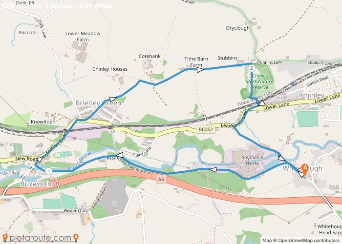
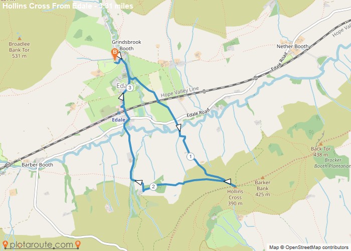
Distance: 2.6 Miles Time: 1 hour 15 minutes Elevation: 371 Feet Terrain: Mixed Start Point: Chinley End Point: Chinley A hilly circular walking route,
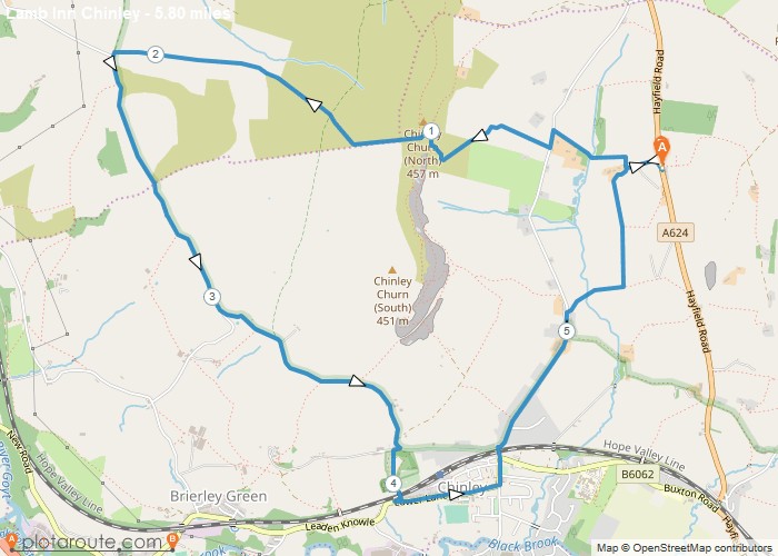
Distance: 5.8 Miles Time: 3 hours 09 minutes Elevation: 1814 Feet Terrain: Mixed Start Point: Chinley End Point: Chinley A hilly circular walking route,
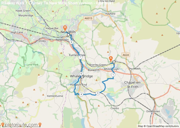
Distance: 8.9 Miles Time: 4 hours 20 minutes Elevation: 364 Feet Terrain: Mixed Start Point: Chinley End Point: Chinley Walk
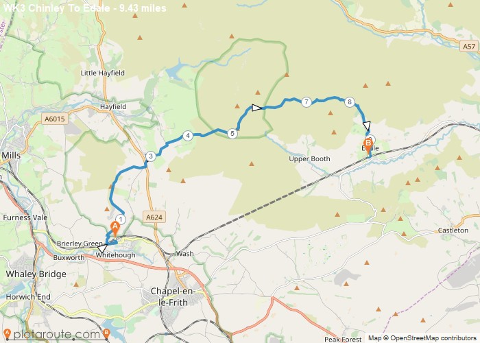
Distance: 9.4 Miles Time: 5 hours 16 minutes Elevation: 3533 Feet Terrain: Mixed Start Point: Chinley End Point: Chinley A hilly A
Distance: 3.3 Miles Time: 1 hour 45 minutes Elevation: 13 Feet Terrain: Mixed Start Point: Chinley End Point: Chinley Second
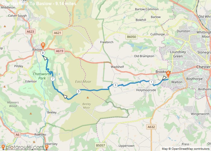
Distance: 9.1 Miles Time: 4 hours 19 minutes Elevation: 174 Feet Terrain: Mixed Start Point: Chesterfield End Point: Chesterfield Bus
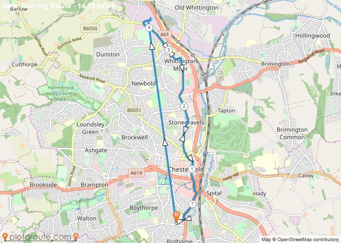
Distance: 14.1 Miles Time: 6 hours 15 minutes Elevation: 1594 Feet Terrain: Mixed Start Point: Chesterfield End Point: Chesterfield A moderately
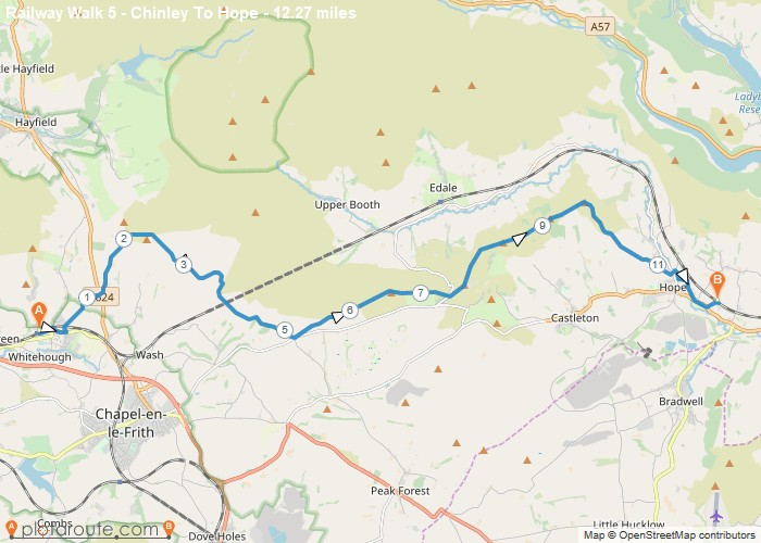
Distance: 12.3 Miles Time: 6 hours 28 minutes Elevation: 308 Feet Terrain: Mixed Start Point: Chinley End Point: Chinley One
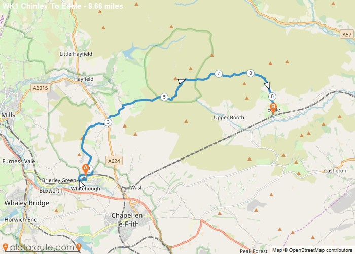
Distance: 9.7 Miles Time: 5 hours 24 minutes Elevation: 1624 Feet Terrain: Off-Road Start Point: Chinley End Point: Chinley Walk
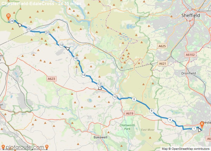
Distance: 24.4 Miles Time: 12 hours 38 minutes Elevation: 190 Feet Terrain: Mixed Start Point: Chesterfield End Point: Chesterfield A hilly A
