Distance: 5.4 Miles Time: 3 hours 14 minutes Elevation: 1286 Feet Terrain: Off-Road Start Point: Wigton End Point: Wigton A hilly circular walking route
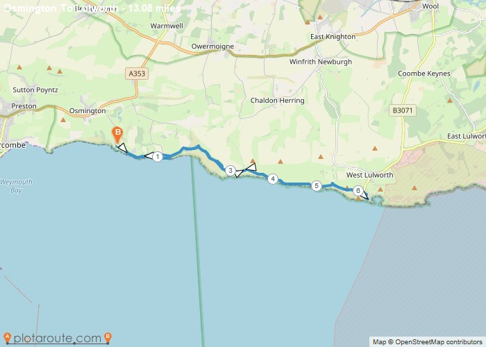
Distance: 13.1 Miles Time: 7 hours 15 minutes Elevation: 36 Feet Terrain: Off-Road Start Point: Whitehaven End Point: Whitehaven A hilly circular walking route,
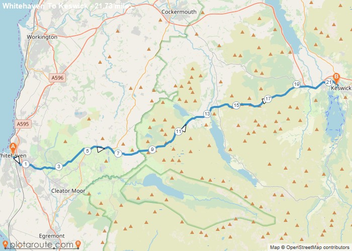
Distance: 21.7 Miles Time: 11 hours 55 minutes Elevation: 56 Feet Terrain: Mixed Start Point: Whitehaven End Point: Whitehaven A hilly A
Distance: 5.2 Miles Time: 2 hours 11 minutes Elevation: 459 Feet Terrain: Mixed Start Point: Whicham End Point: Whicham A moderately
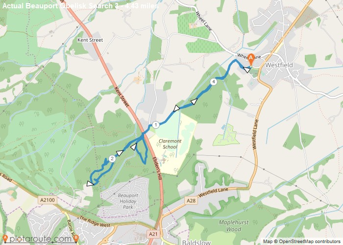
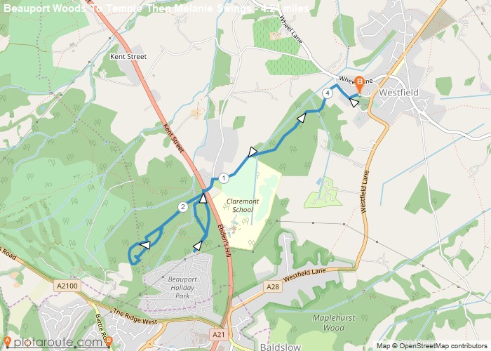
Distance: 4.4 Miles Time: 2 hours 07 minutes Elevation: 541 Feet Terrain: Mixed Start Point: Westfield End Point: Westfield A hilly circular walking route,
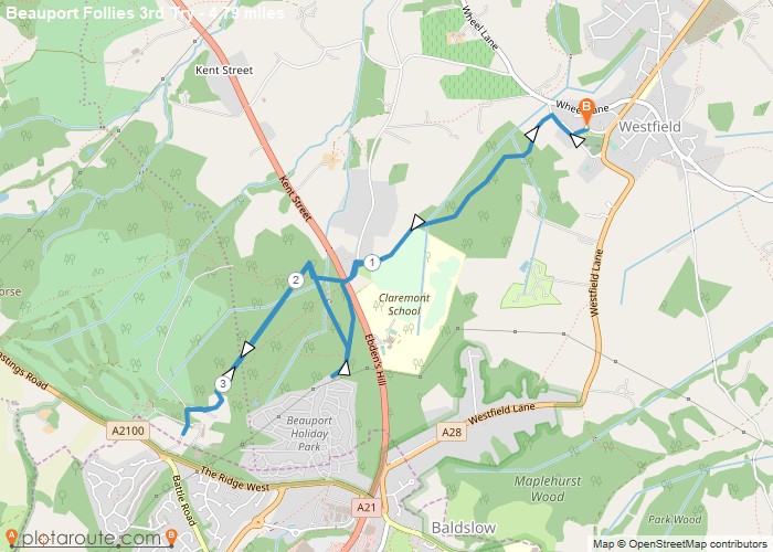
Distance: 4.8 Miles Time: 2 hours 20 minutes Elevation: 56 Feet Terrain: Mixed Start Point: Westfield End Point: Westfield A hilly circular walking route,
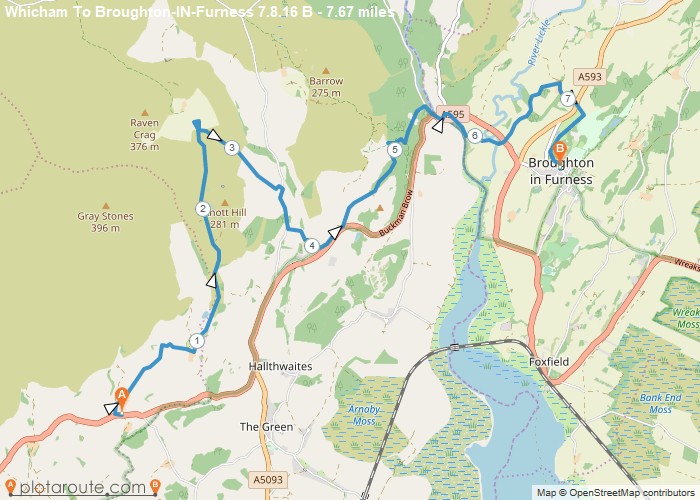
Distance: 7.7 Miles Time: 3 hours 44 minutes Elevation: 1673 Feet Terrain: Mixed Start Point: Whicham End Point: Whicham A hilly A
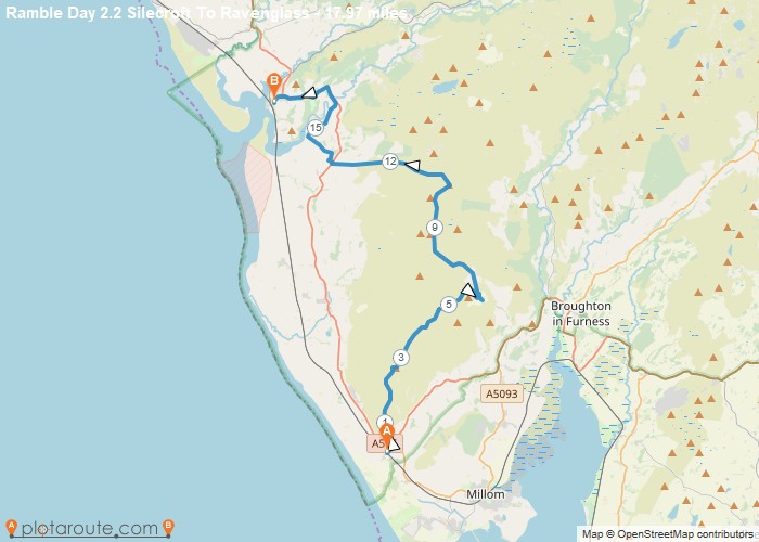
Distance: 18.0 Miles Time: 9 hours 50 minutes Elevation: 144 Feet Terrain: Mixed Start Point: Whicham End Point: Whicham A hilly A
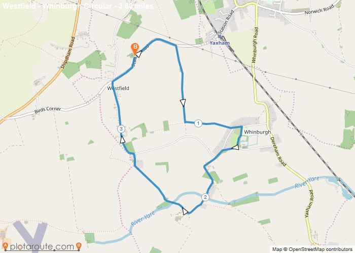
Distance: 3.6 Miles Time: 1 hour 29 minutes Elevation: 886 Feet Terrain: Mixed Start Point: Westfield End Point: Westfield A relatively
Distance: 4.2 Miles Time: 2 hours 03 minutes Elevation: 56 Feet Terrain: Mixed Start Point: Westfield End Point: Westfield A hilly circular walking route,

