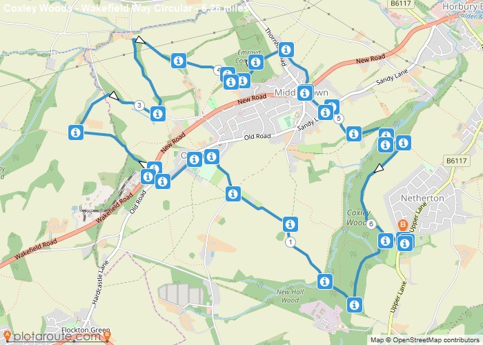
Distance: 6.3 Miles Time: 3 hours 06 minutes Elevation: 554 Feet Terrain: Off-Road Start Point: Netherton End Point: Netherton A hilly circular walking route,
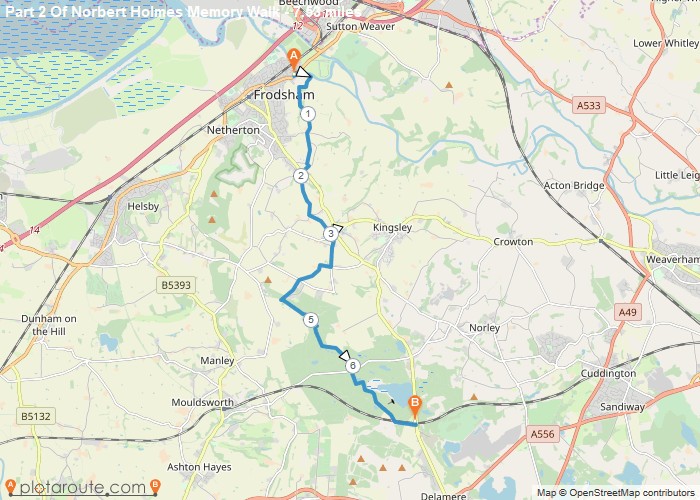
Distance: 7.5 Miles Time: 3 hours 30 minutes Elevation: 2405 Feet Terrain: Mixed Start Point: Netherton End Point: Netherton A moderately
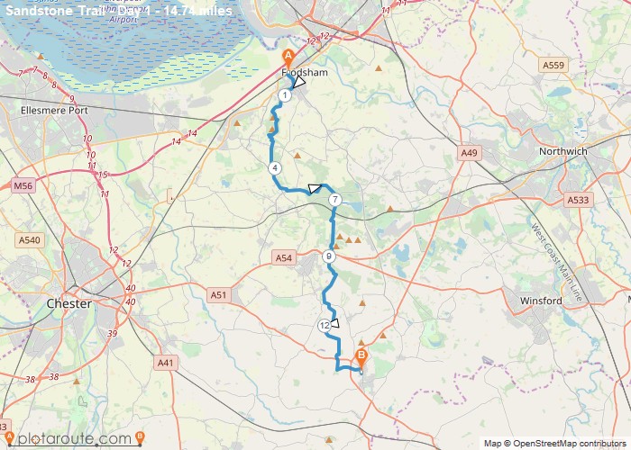
Distance: 14.7 Miles Time: 7 hours 01 minutes Elevation: 958 Feet Terrain: Mixed Start Point: Netherton End Point: Netherton A hilly A
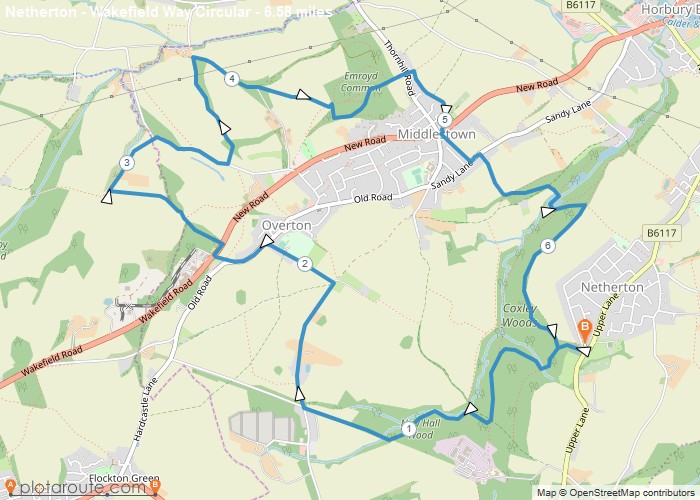
Distance: 6.6 Miles Time: 3 hours 14 minutes Elevation: 902 Feet Terrain: Mixed Start Point: Netherton End Point: Netherton A hilly circular walking route,
Favourite
Distance: 6.6 Miles Time: 2 hours 59 minutes Elevation: 49 Feet Terrain: Road Start Point: Netherton End Point: Netherton Short
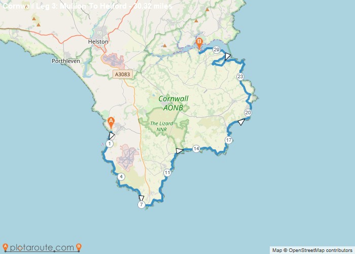
Distance: 30.3 Miles Time: 15 hours 22 minutes Elevation: 4990 Feet Terrain: Off-Road Start Point: Mullion End Point: Mullion A hilly A
Distance: 5.5 Miles Time: 2 hours 42 minutes Elevation: 748 Feet Terrain: Mixed Start Point: Mullion End Point: Mullion A
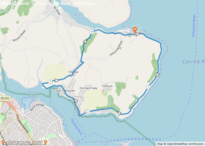
Distance: 4.6 Miles Time: 2 hours 10 minutes Elevation: 3730 Feet Terrain: Mixed Start Point: Mylor Churchtown End Point: Mylor
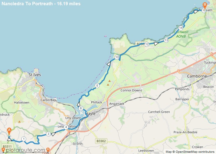
Distance: 16.2 Miles Time: 7 hours 26 minutes Elevation: 3130 Feet Terrain: Mixed Start Point: Nancledra End Point: Nancledra A moderately
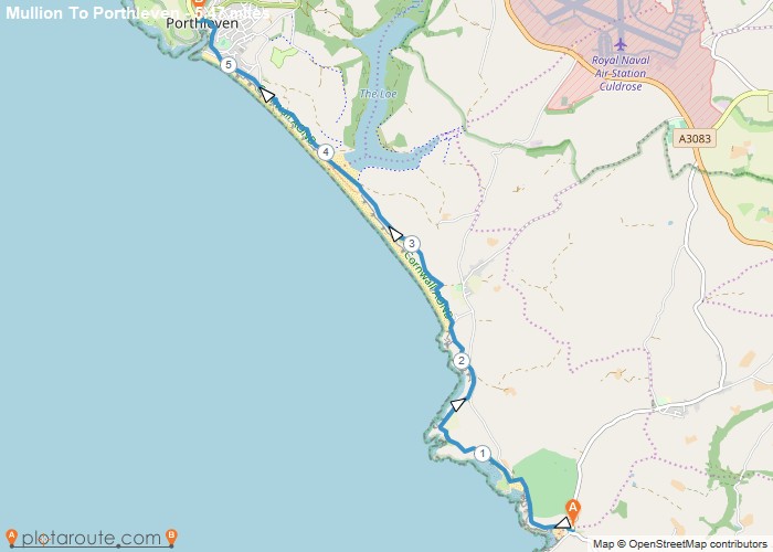
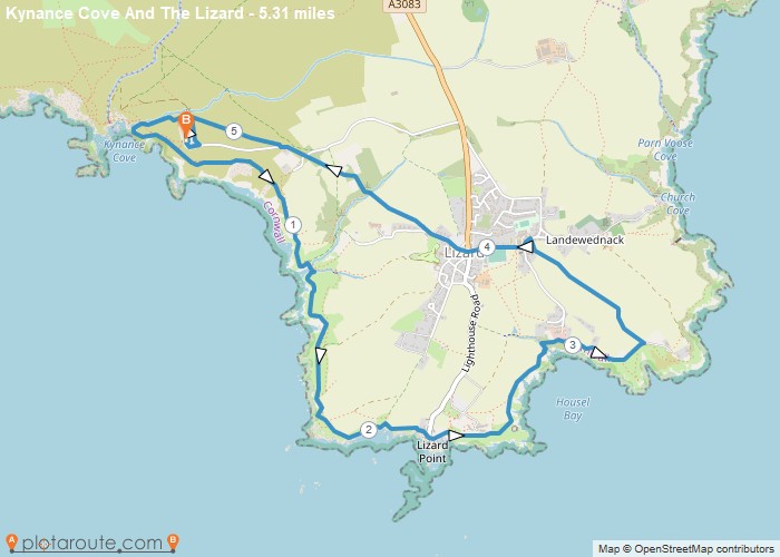
Distance: 5.3 Miles Time: 2 hours 34 minutes Elevation: 922 Feet Terrain: Mixed Start Point: Mullion End Point: Mullion Walk
